Western Highpoints
Staci and I planned to hike four big western mountains on this trip. Our plan included Wheeler Peak - the New Mexico highpoint, Humphreys Peak, the Arizona highpoint, Mt. Whitney, the California highpoint and Boundary Peak, the Nevada highpoint.

The first stop on the trip was Taos Ski Valley in New Mexico. Taos Ski Valley has an interesting history. The modern resort began in 1955, when Ernie Blake, a Swiss-German immigrant and World War II veteran, spotted the rugged terrain of the Sangre de Cristo Mountains while flying overhead. The ski area opened officially in 1956, quickly gaining a reputation for its challenging expert terrain—steep chutes, bumps, and tree runs that drew serious skiers but kept it something of a hidden gem. For decades it was a family-run operation, with the Blake family deeply involved in all aspects of the resort.

Taos Ski Valley is a lot like Colorado’s ski resorts with beautiful cool weather and deep blue skies during the summer months.

We hiked the Bull of the Woods trail to the summit of Wheeler Peak.

Looking east toward at the Sangre de Cristo Mountains with Horseshoe Lake below.

Staci heading up the final section to the summit.

Our first summit of the trip - Wheeler Peak.

The Taos Ski Valley had a beautiful Via Ferrata we couldn’t pass up. A Via Ferrata is a climbing route in the mountains that can be safely done by non-climbers since you stay clipped into anchors the entire way.

Climbing between two rock faces on a cable.
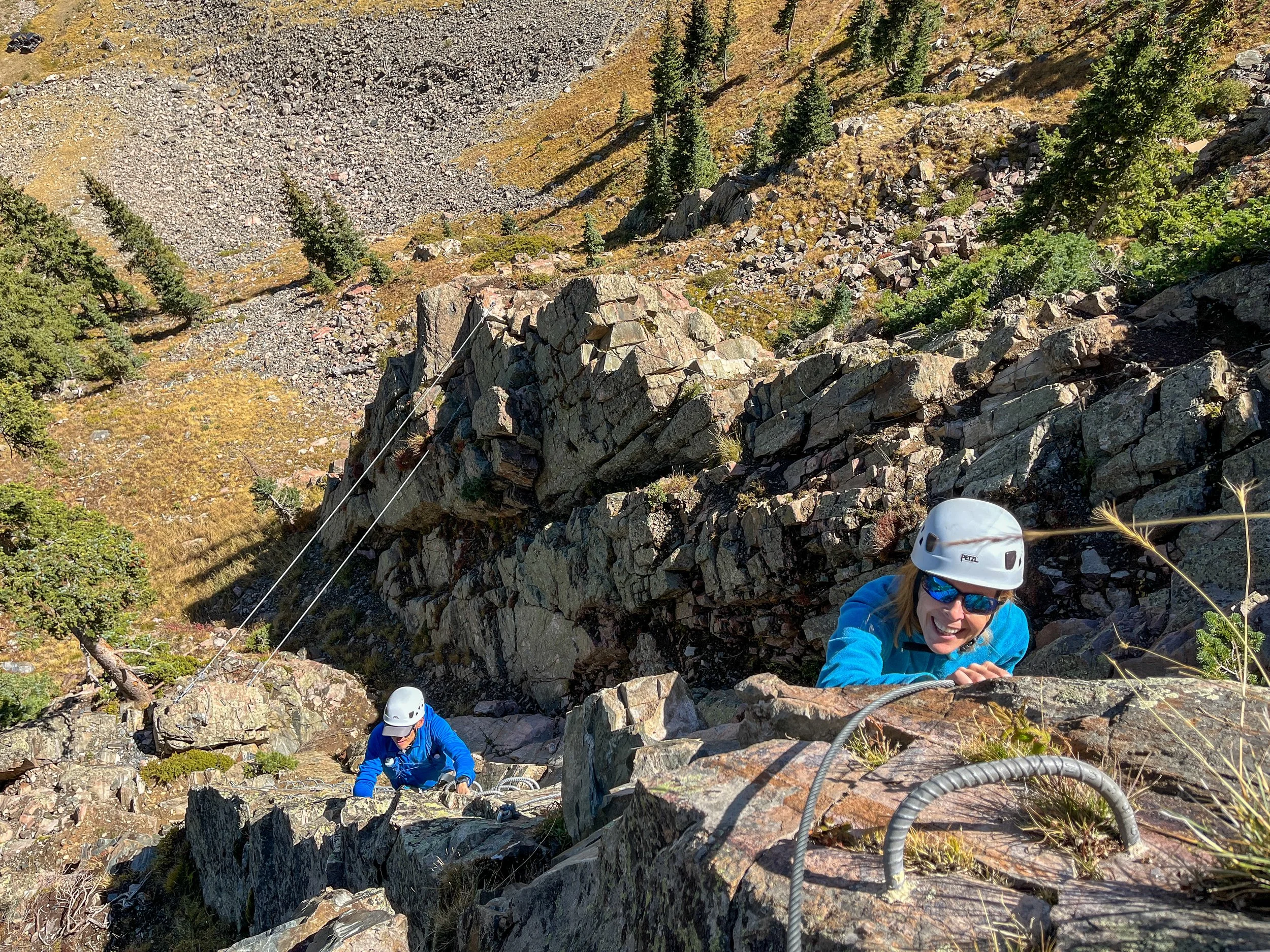
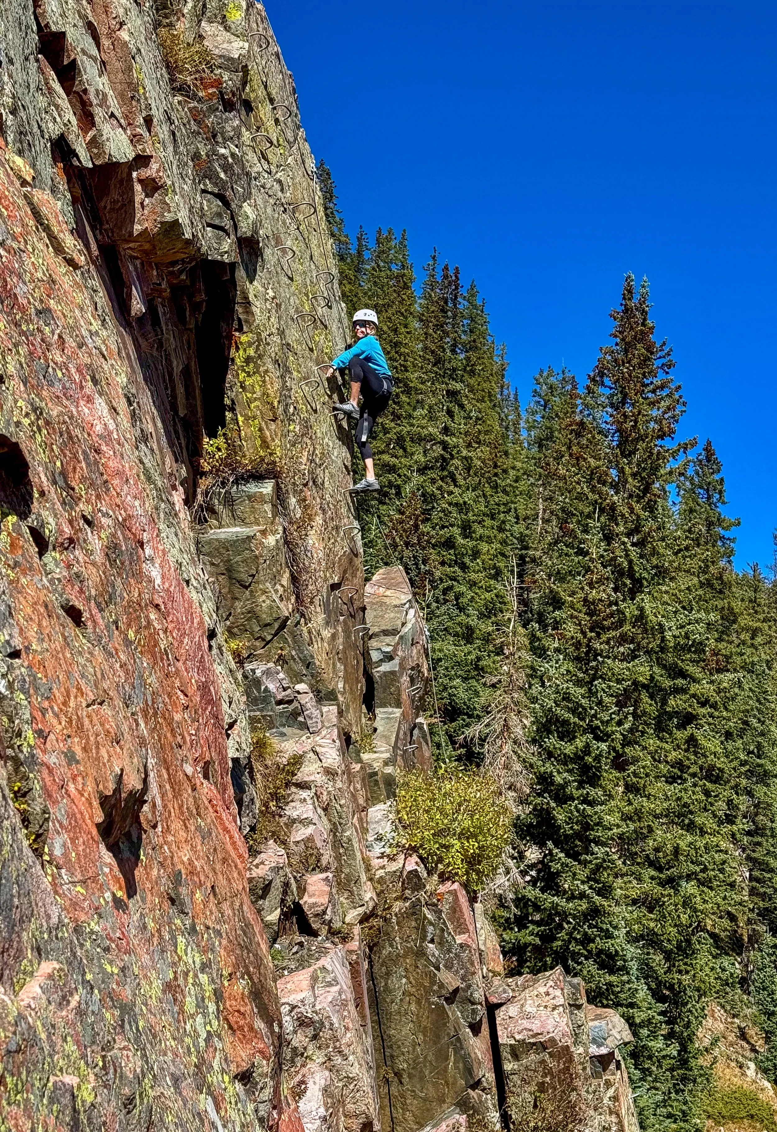
Even though Via Ferratas are safe, they might note be fun for people who have a fear of heights.

The town of Taos, New Mexico is about 30 minutes from the ski area. Taos was first settled in the 1300s and has a colorful history. Today it is an artsy southwestern town.
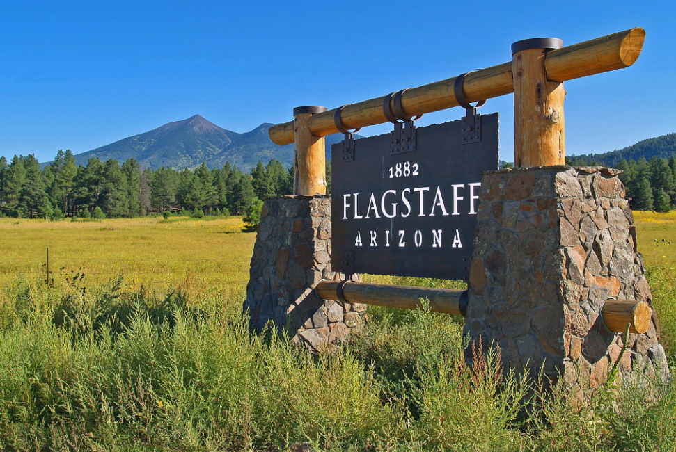
Our next stop was Flagstaff Arizona. Humphrey’s peak is the highpoint in Arizona.

The trail to Humphrey’s peak starts at the Arizona Snow Bowl ski area and heads into a forest.

As we ascend Humphrey’s Peak we are treated with great views of western Arizona.

As we got higher, the weather became cold and windy.

Staci traversing the windy ridge near the summit.
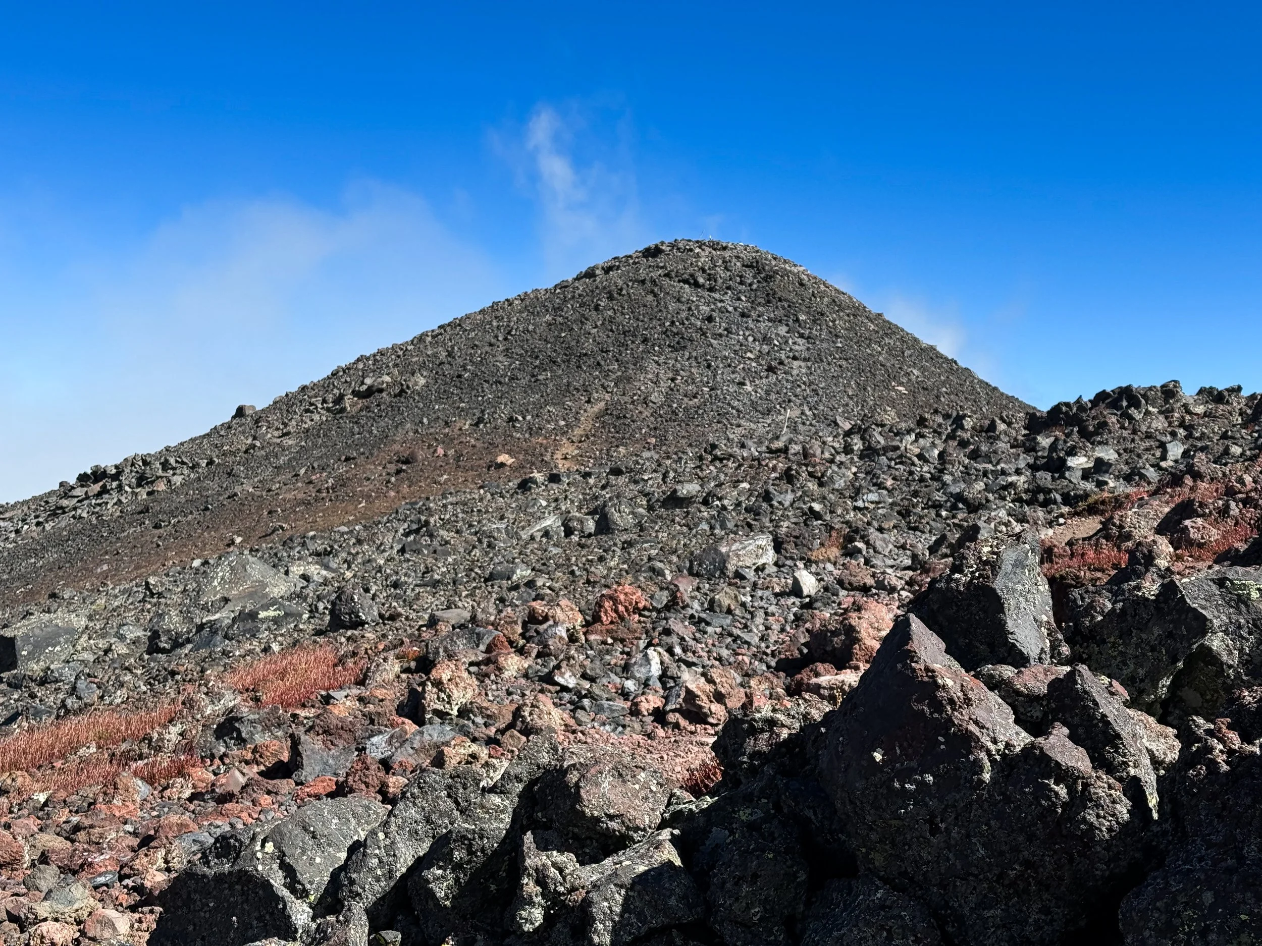
The clouds briefly cleared and we got our first view of the summit from half a mile away.

On the summit in 70 MPH winds.

The famous Route 66 goes through Flagstaff. Route 66 opened in 1926 connecting Chicago to Southern California 2500 miles away. After the 1930s depression it gained fame as a symbol of hope, freedom, and the promise of a better life in the West.

We left Flagstaff and headed for California. We stopped in Shoshone, California for a night, just outside Death Valley.

Driving through Death Valley.

Parked at Badwater Basin in Death Valley, the lowest point in the United States. Sea Level is marked by the small white rectangle near the top of this photo.
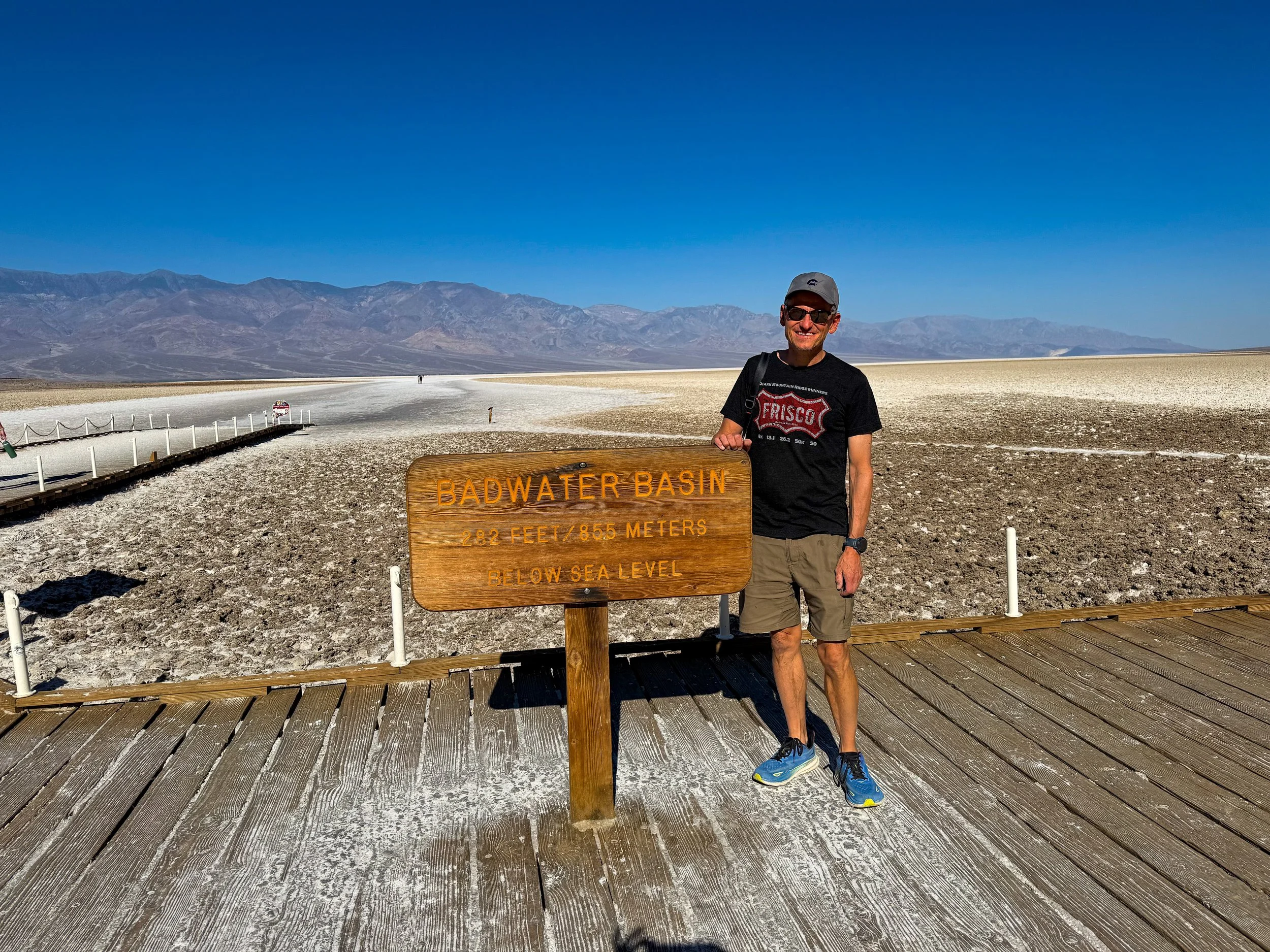


Venturing out into the basin.

After Death Valley we headed to Lone Pine, California to climb Mt Whitney. The central Sierras along with Mount Whitney are in this photo.

A black and white picture of Mount Whitney from the Alabama Hills. Some of Ansel Adams’ most popular photos were taken near here.

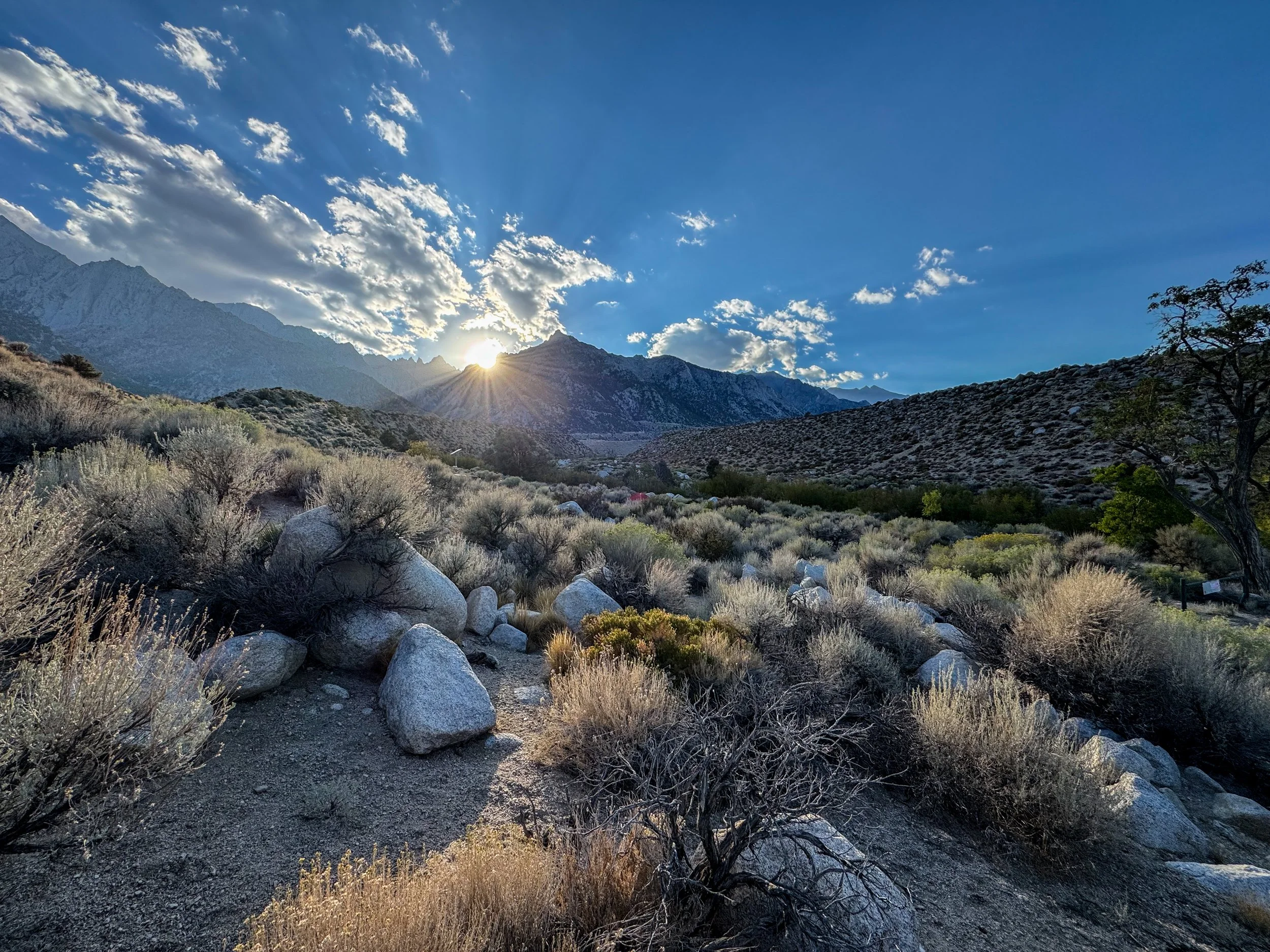
Our campsite west of Lone Pine, near the start of the Mt. Whitney trail.

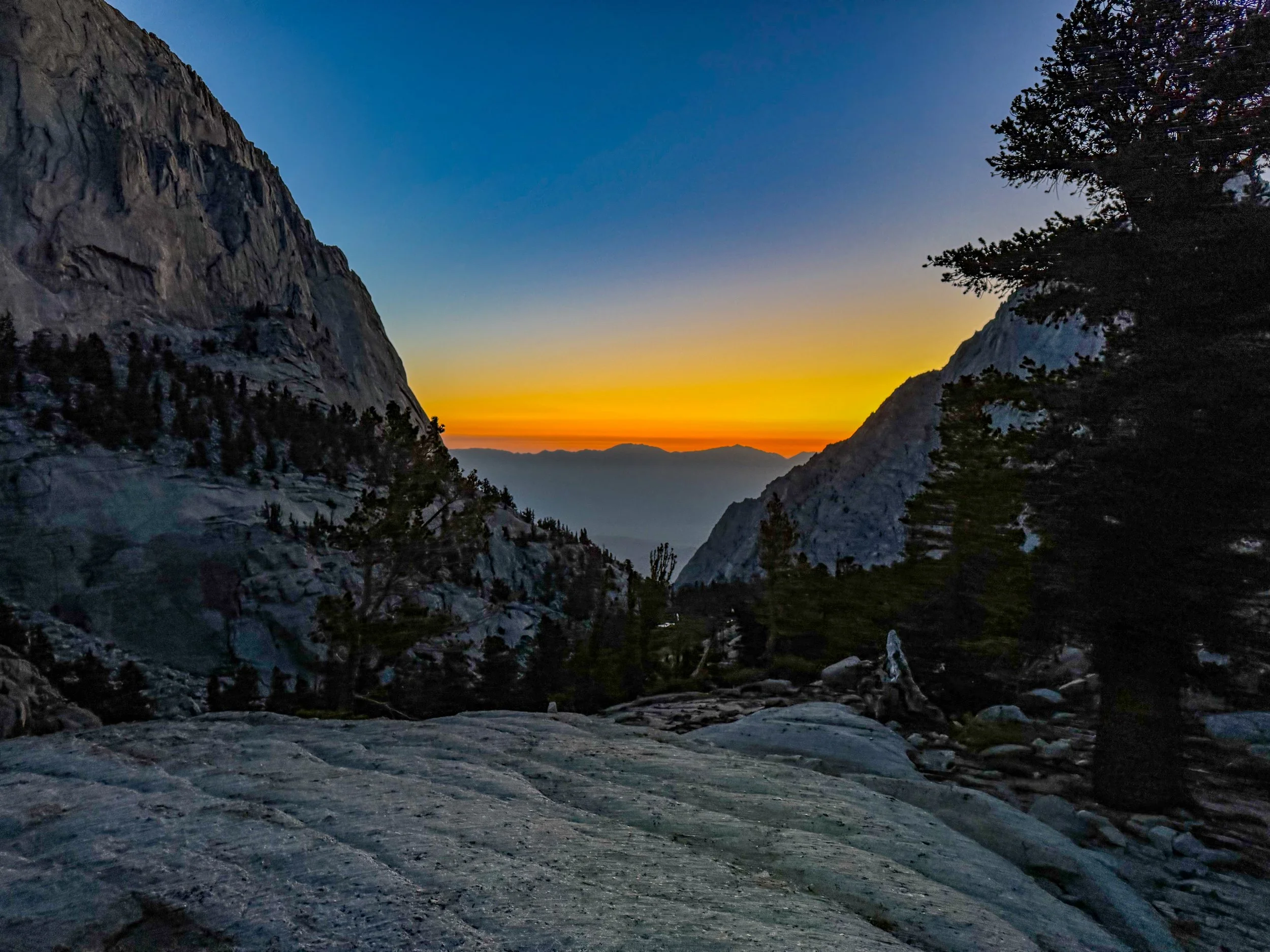
We began our hike to Mt. Whitney ion the dark at 4:30AM. It is 22 miles roundtrip with 6500 feet of elevation gain which makes for a long day.

The first sun hitting Mount Whitney.
Looking East toward Owens Valley.

Staci hiking toward the Mt Whitney ridge at sunrise.

The high point in the center of this photo is Mt. Whitney.


Entering Sequoia National Park on the way to Mt Whitney.

Looking out at Sequoia National Park.

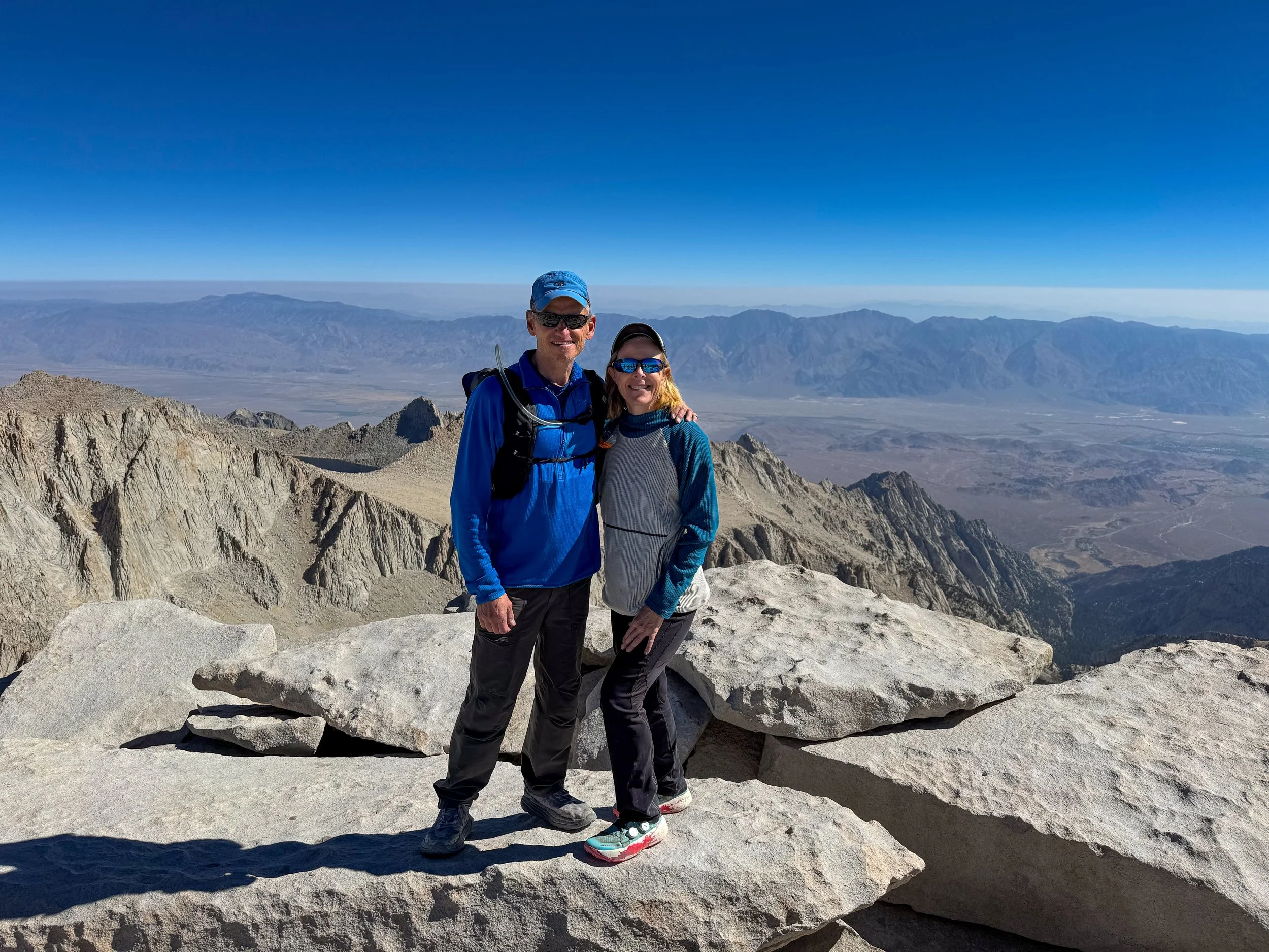
The summit of Mt. Whitney, the highest point in California and the continental United States. In a little over 24 hours we went from the lowest point to the highest point in the Continental US.
Beginning the long hike down.


Finishing at Whitney Portal eleven and a half hours later.

After Whitney we spent an easy day exploring the eastern Sierras and driving to Bishop.

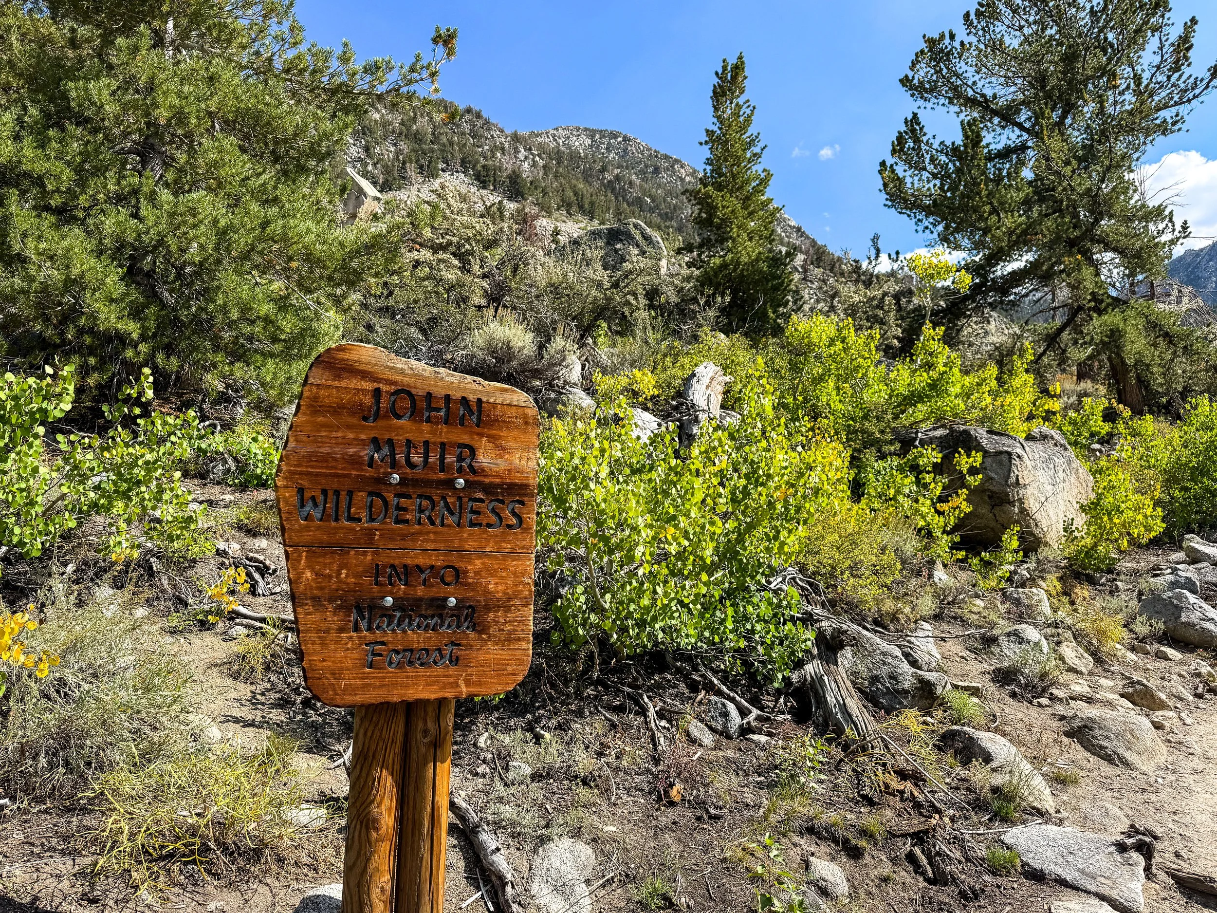
The John Muir wilderness was created by the Wilderness Act of 1964 and comprises 652,000 acres that stretch for 100 miles along the crest of the Sierra Nevada mountains.

Our next destination was Bishop, California. Bishop is a small town located between the Sierras and White Mountains in Eastern California. It serves as a major gateway for climbing, hiking, backpacking and fishing. We planned to attend the Highpoint Konvention in Bishop.

Boundary Peak, the Nevada Highpoint is located about 90 minutes from Bishop. The climb began on a trail in the high desert.
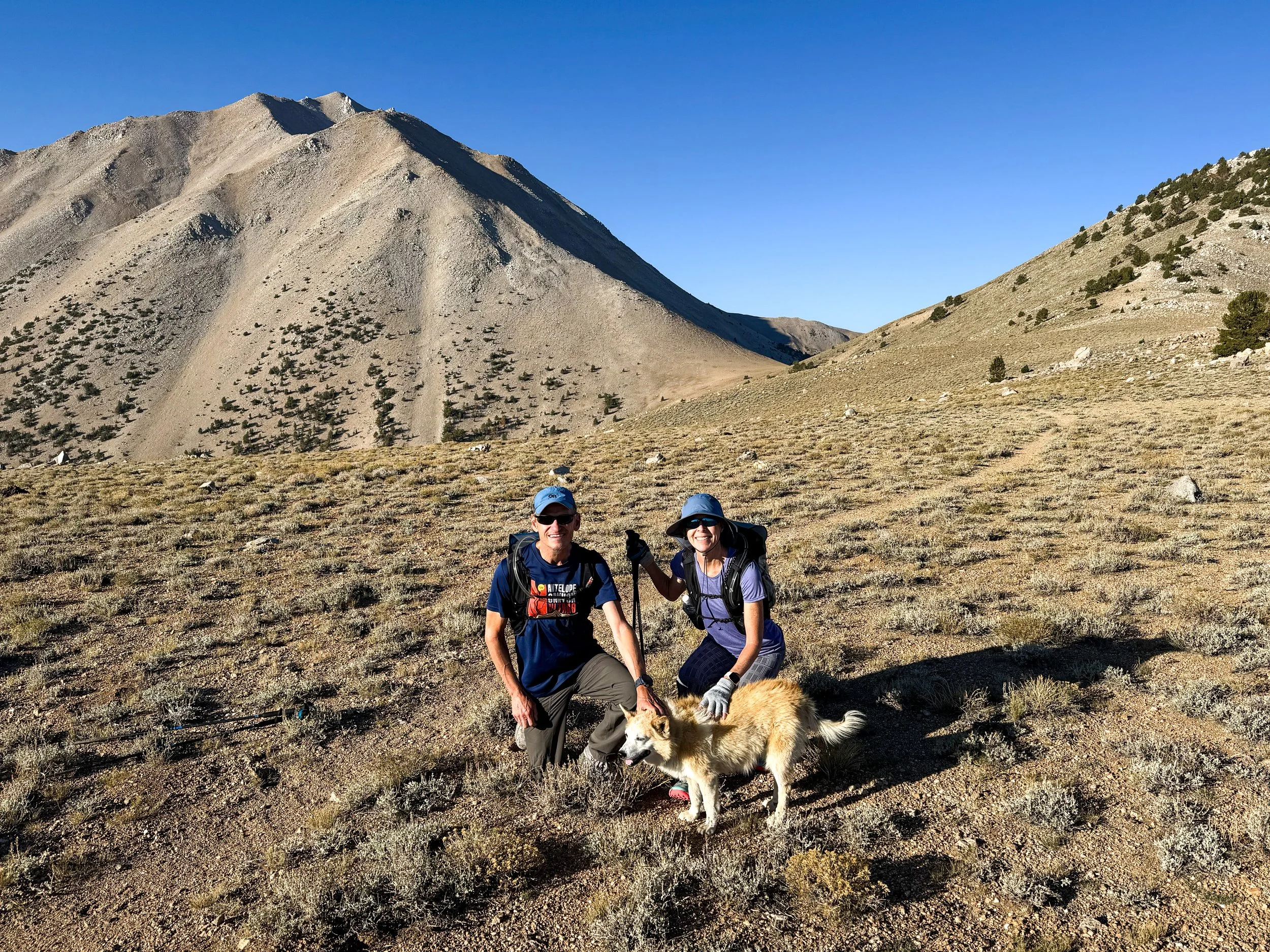
While climbing Boundary Peak we ran into Steve, another highpointer, along with his dog Lupe. Lupe turns out to be a somewhat famous dog. She is an American Dingo who has climbed more than 1000 mountains with Steve. Lupe is now over 14 years old and still managed to get to the top of Boundary.

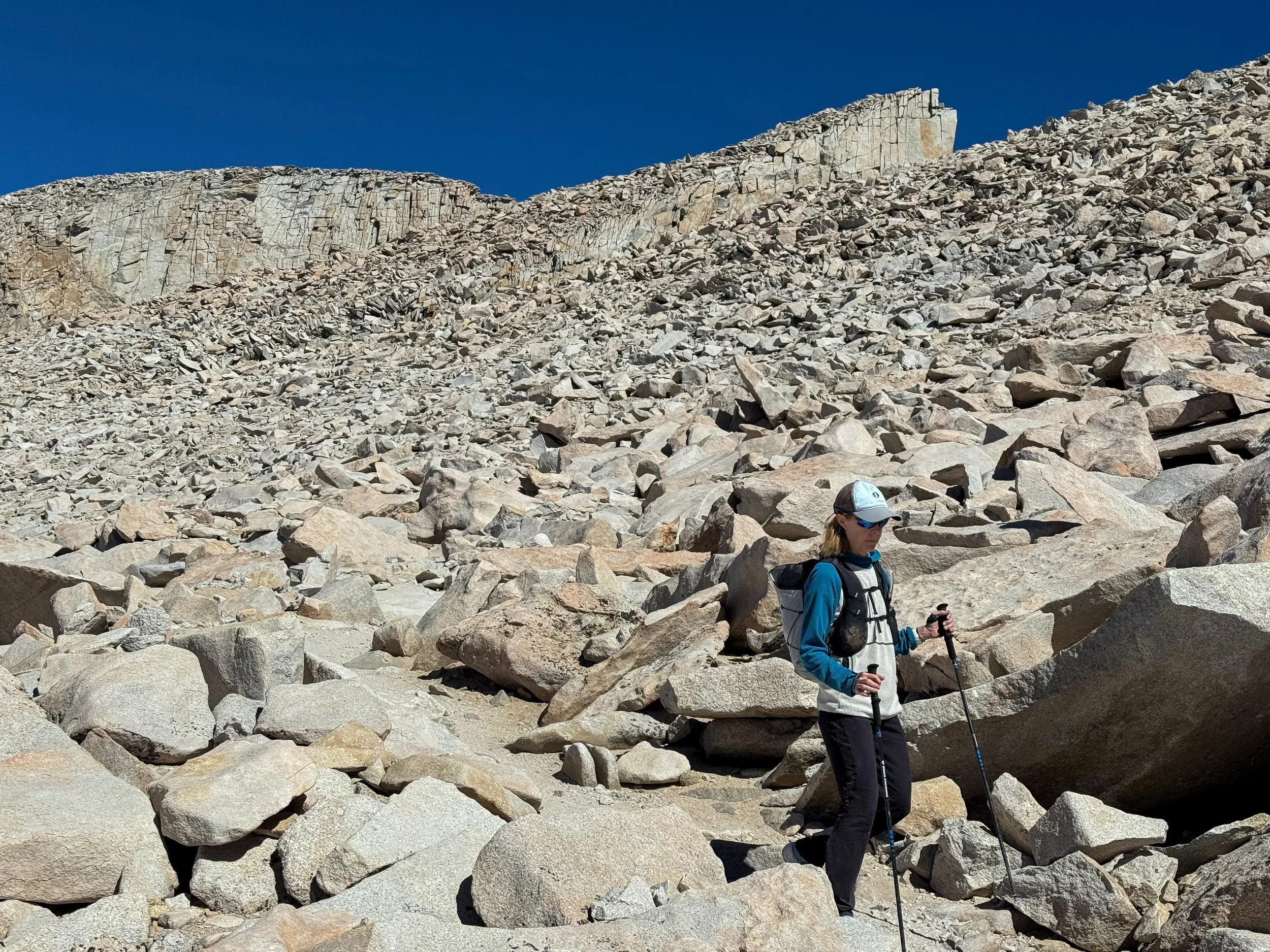
Staci approaching the hard part of Boundary - loose scree and boulders we had to navigate to the top.

On the summit of Boundary.

Looking out to the west from the top of Boundary.

A view of Boundary and Montgomery from highway 395.

After Boundary we explored an area called Little Lakes Valley.


A view of the Sierras from Bishop.

On the way home, we stopped in Ely Nevada and went for a run in the desert.

Driving through Utah toward Colorado on Interstate 70 is very beautiful.