Lakes and Highpoints
We left on the 4th of July for the east coast to spend 4 days with friends on an Island in New Hampshire followed by 6 days of visiting state highpoint in New Hampshire, Maine, Massachusetts, Connecticut and Rhode Island.
After flying to Boston, we rented a car and drove to the town of Gilford, New Hampshire. Our friends Robin and Mark met us in their boat where we headed to Mark Island, which is located on Lake Winnipesaukee.
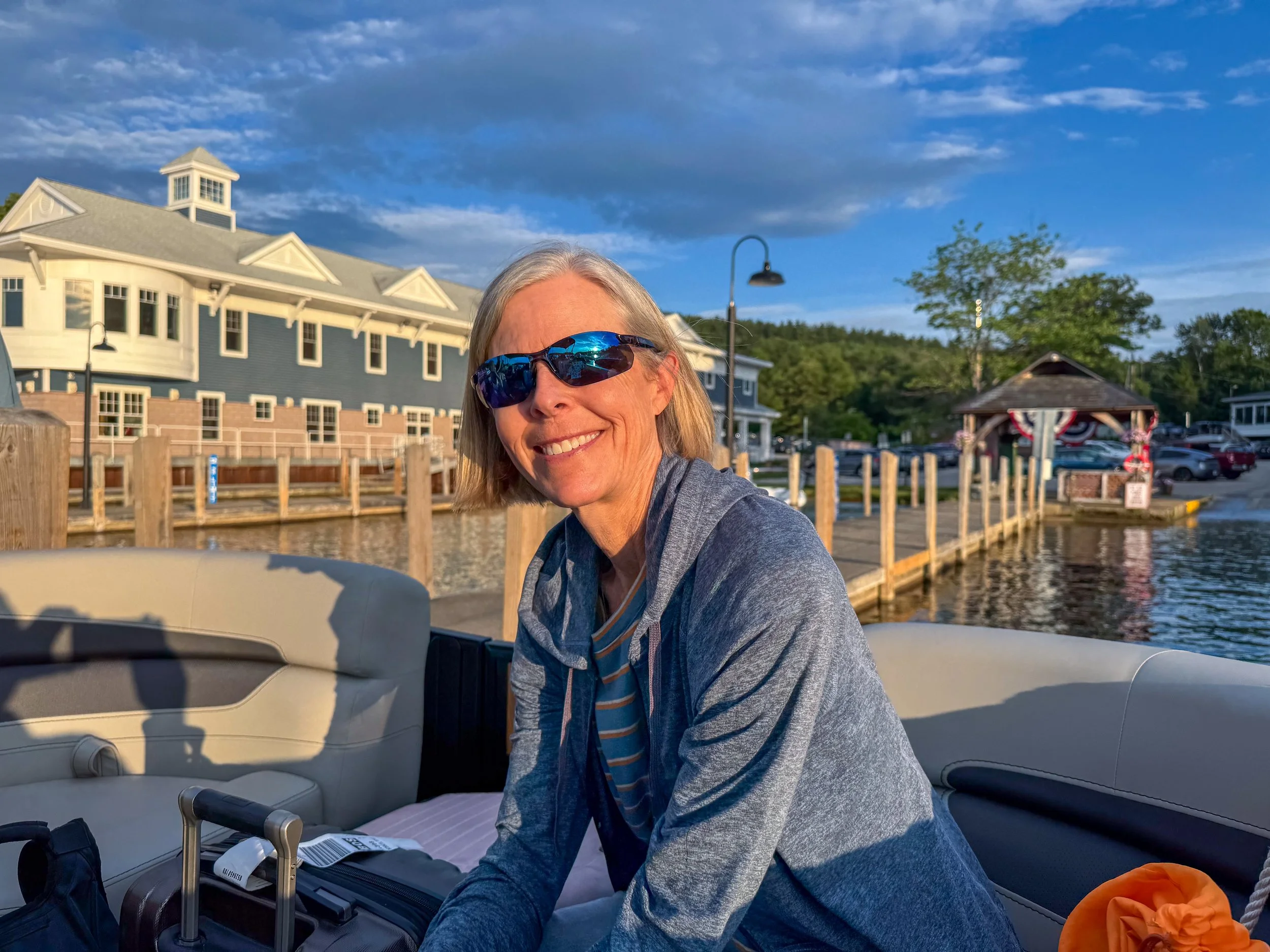
Staci looking happy to be done with flying and driving.
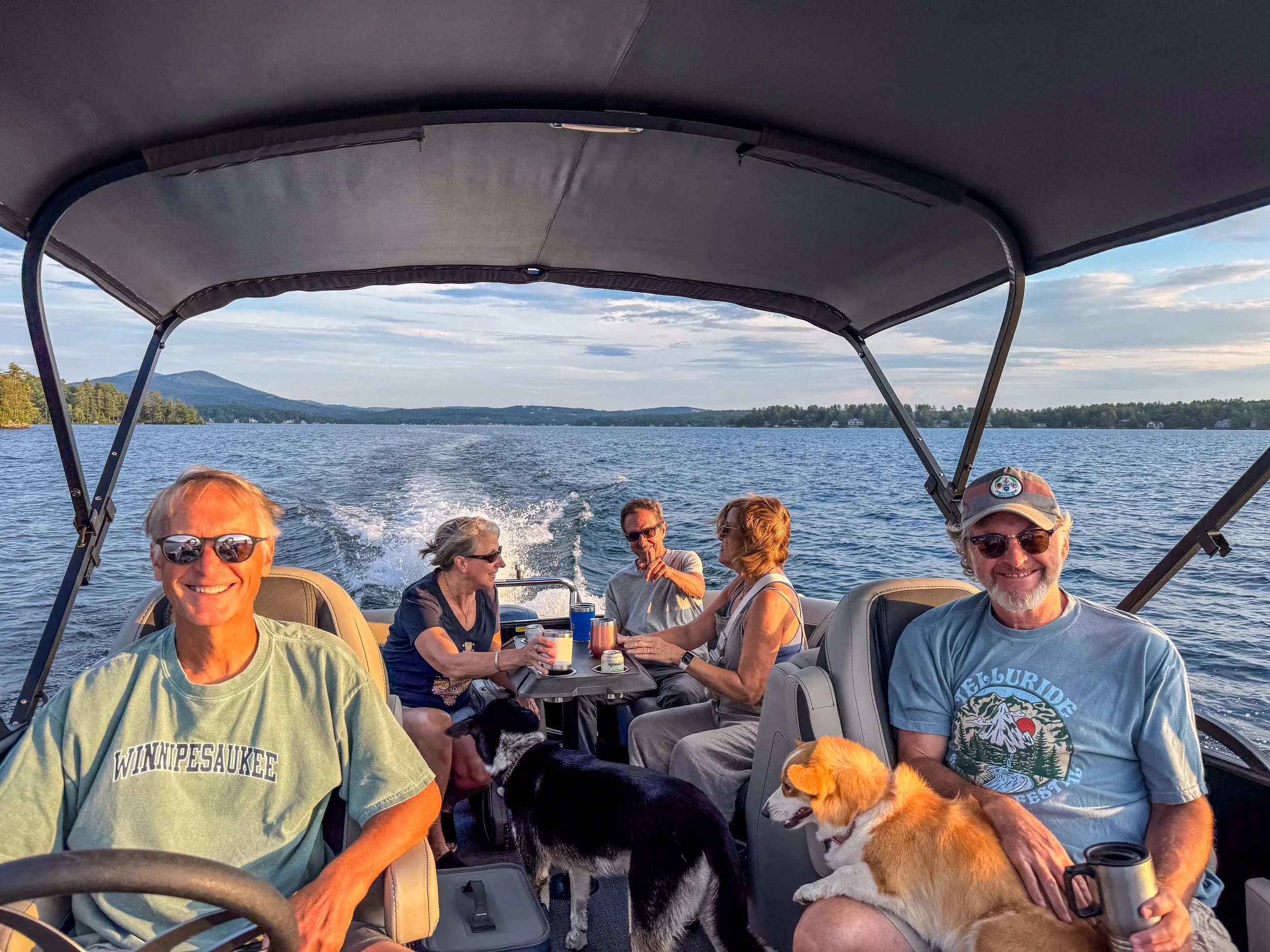
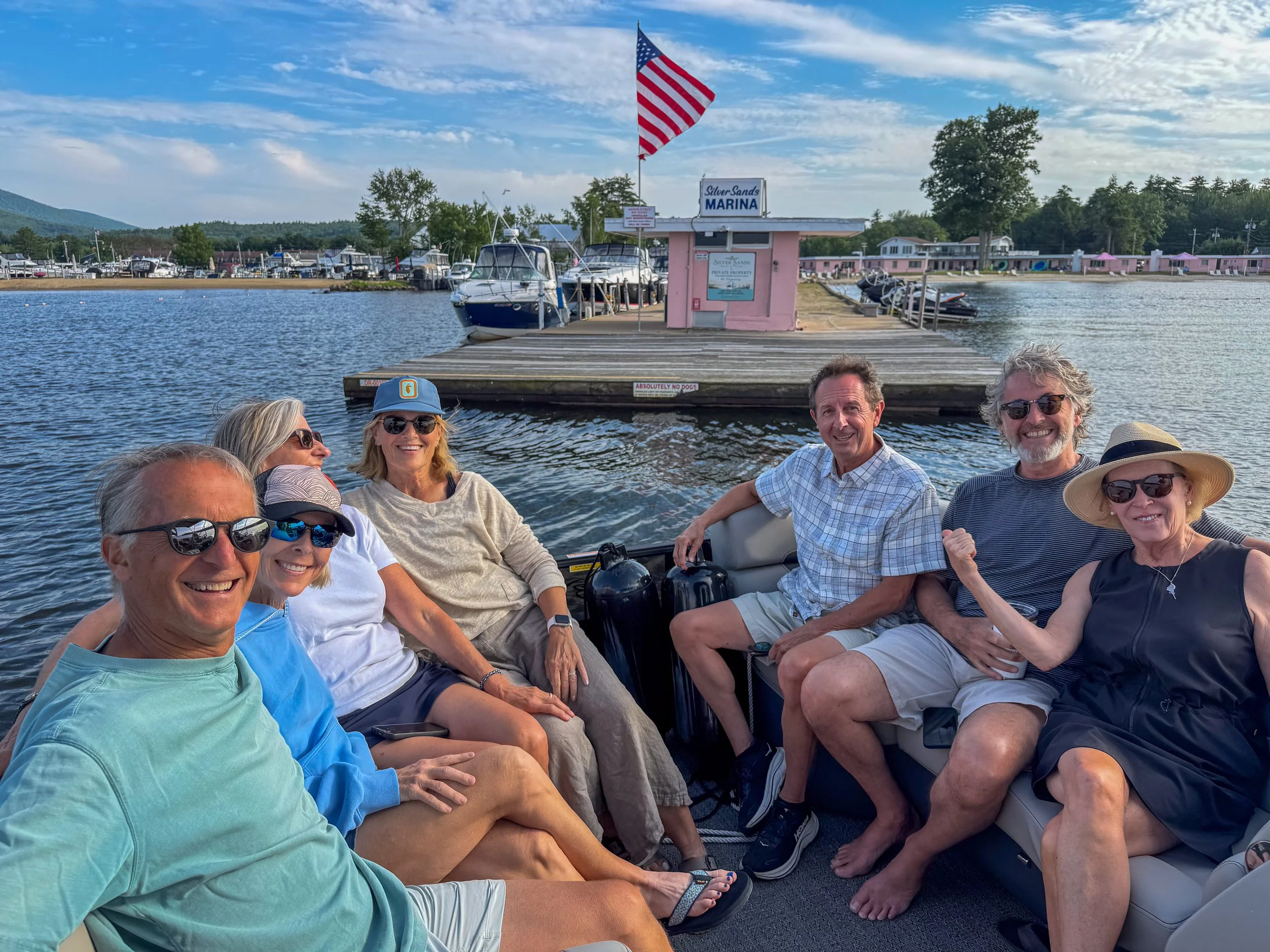
Our Friends Mark, John, Cary, Pat and Tom. Staci and Robin must be hiding somewhere.
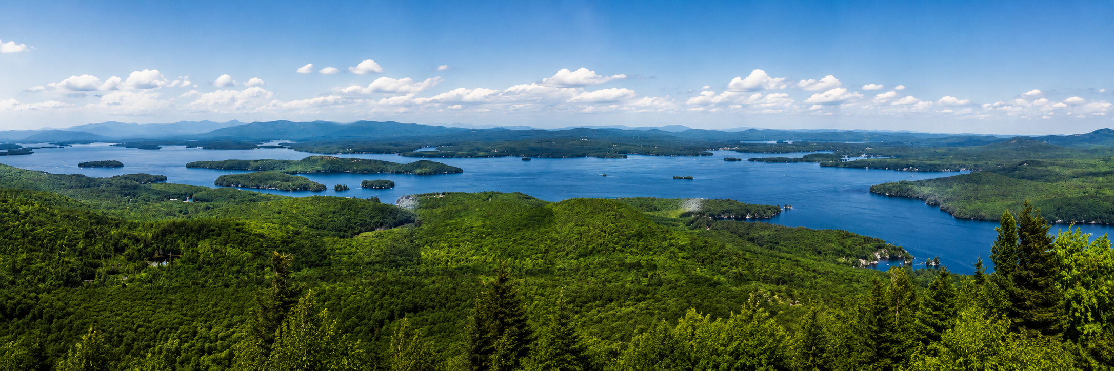
Lake Winnipesaukee is the largest lake in New Hampshire at 21 miles and has more than 260 islands.
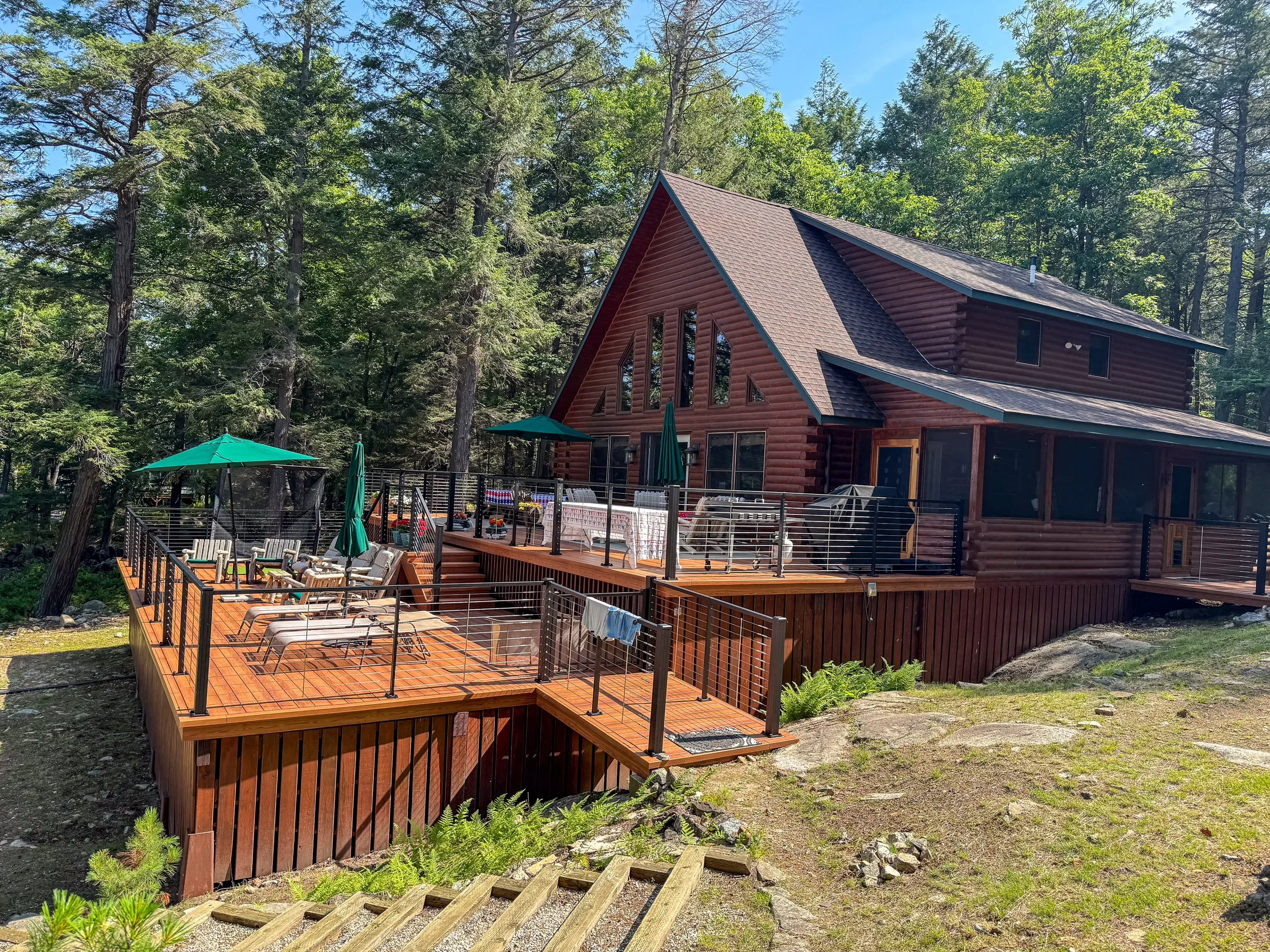
Mark and Rob own a beautiful home on Mark Island and spend their summers there.
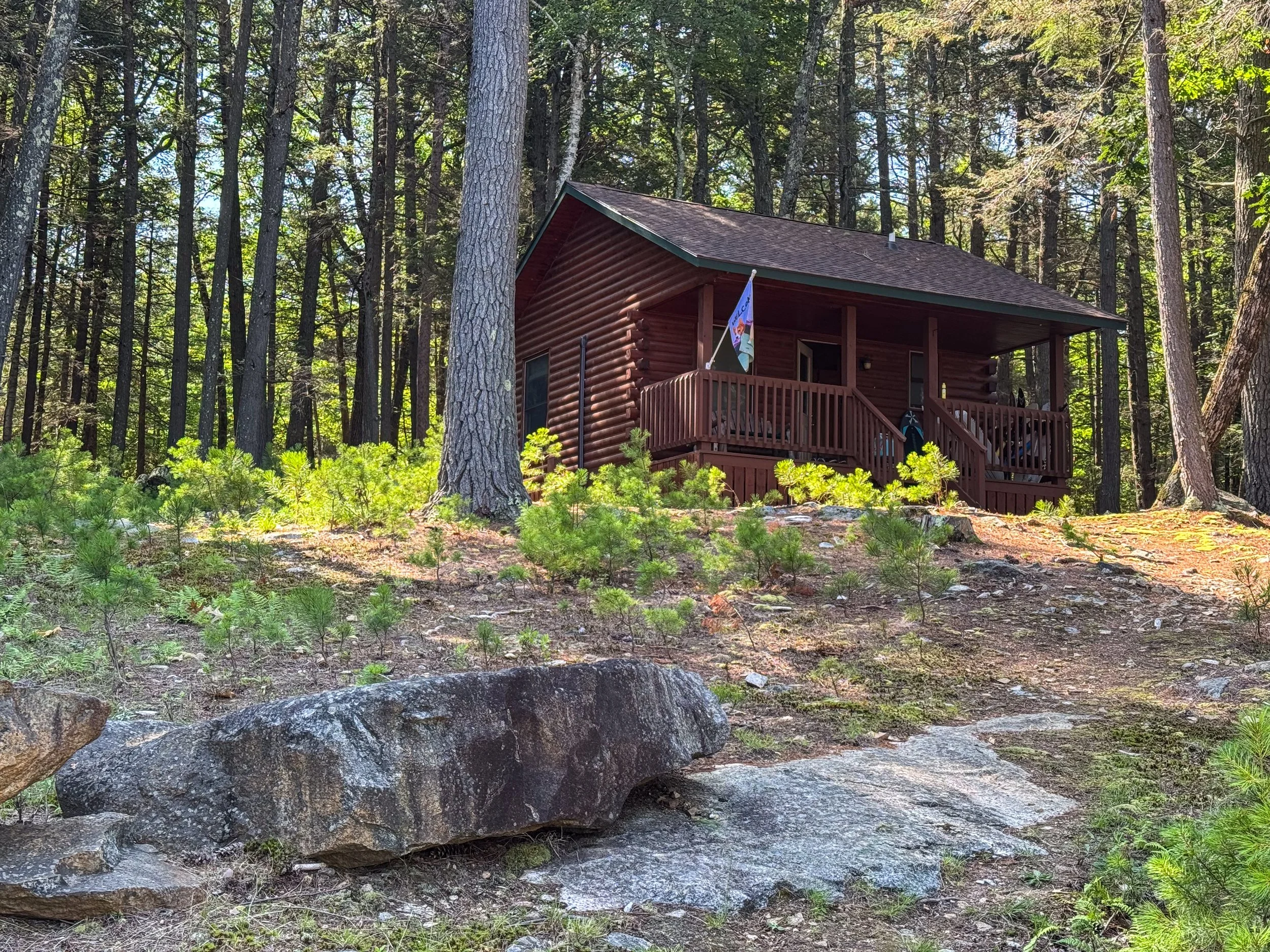
Their guest house.
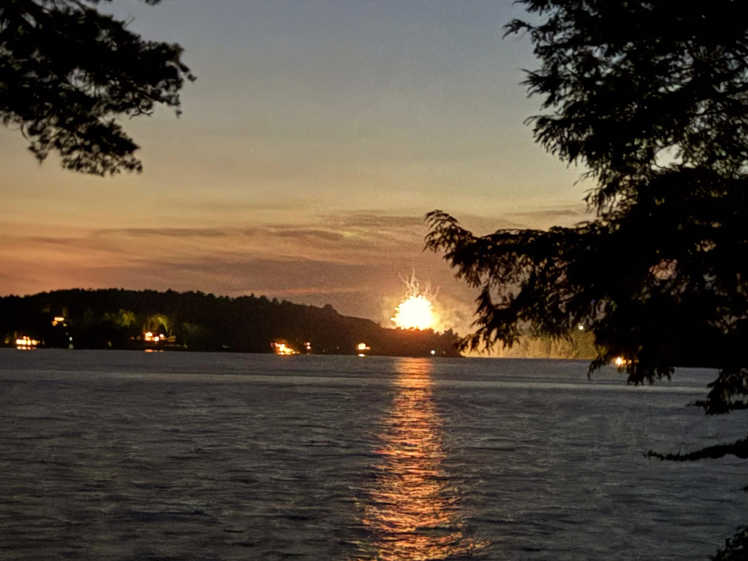
We arrived the 4th of July evening and were able to see some of the mainland fireworks from their deck.
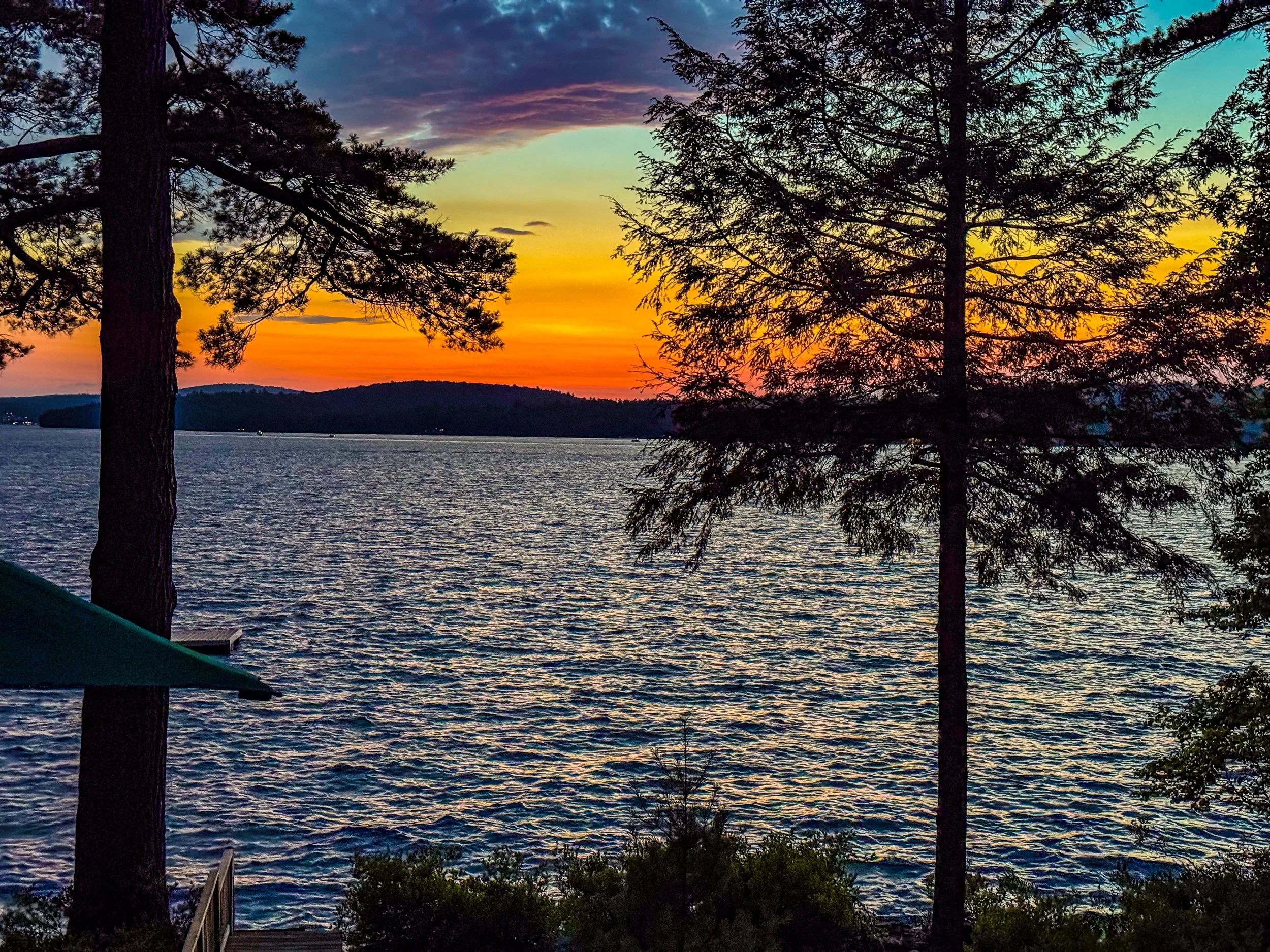
We were treated to amazing sunsets every night.
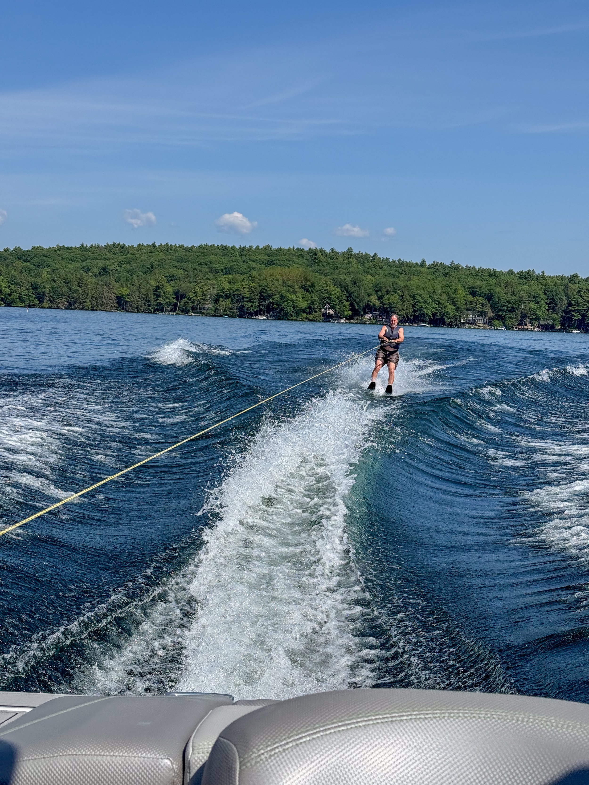
Water activities are a large part of summer lake life. We got to try wake surfing (unsuccessfully) after which John showed us his water skiing talents.
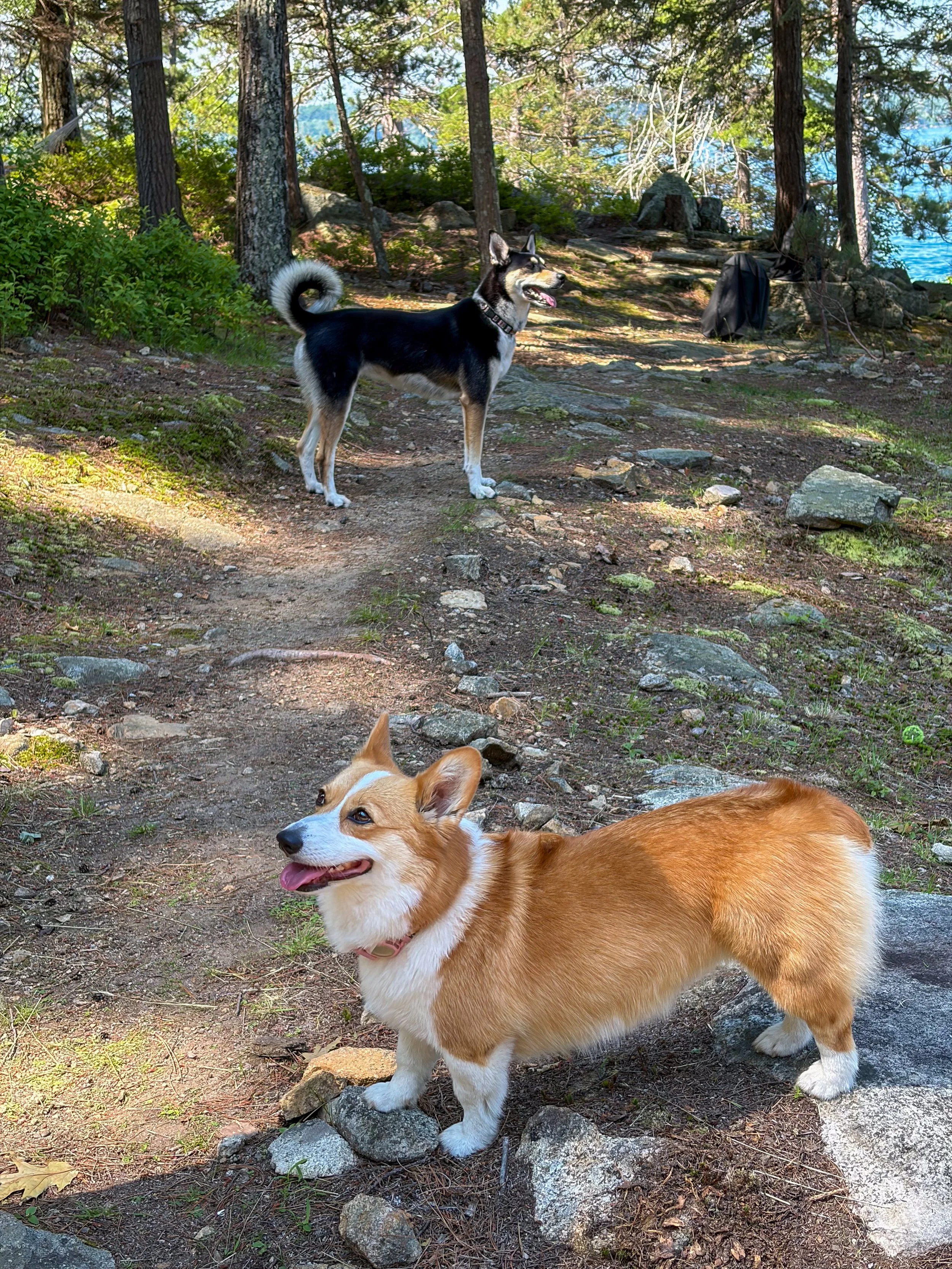
Mark and Robin’s Corgi gets to spend summer break exploring the island. Pat and John drove from Boulder and brought their dog Sasha.
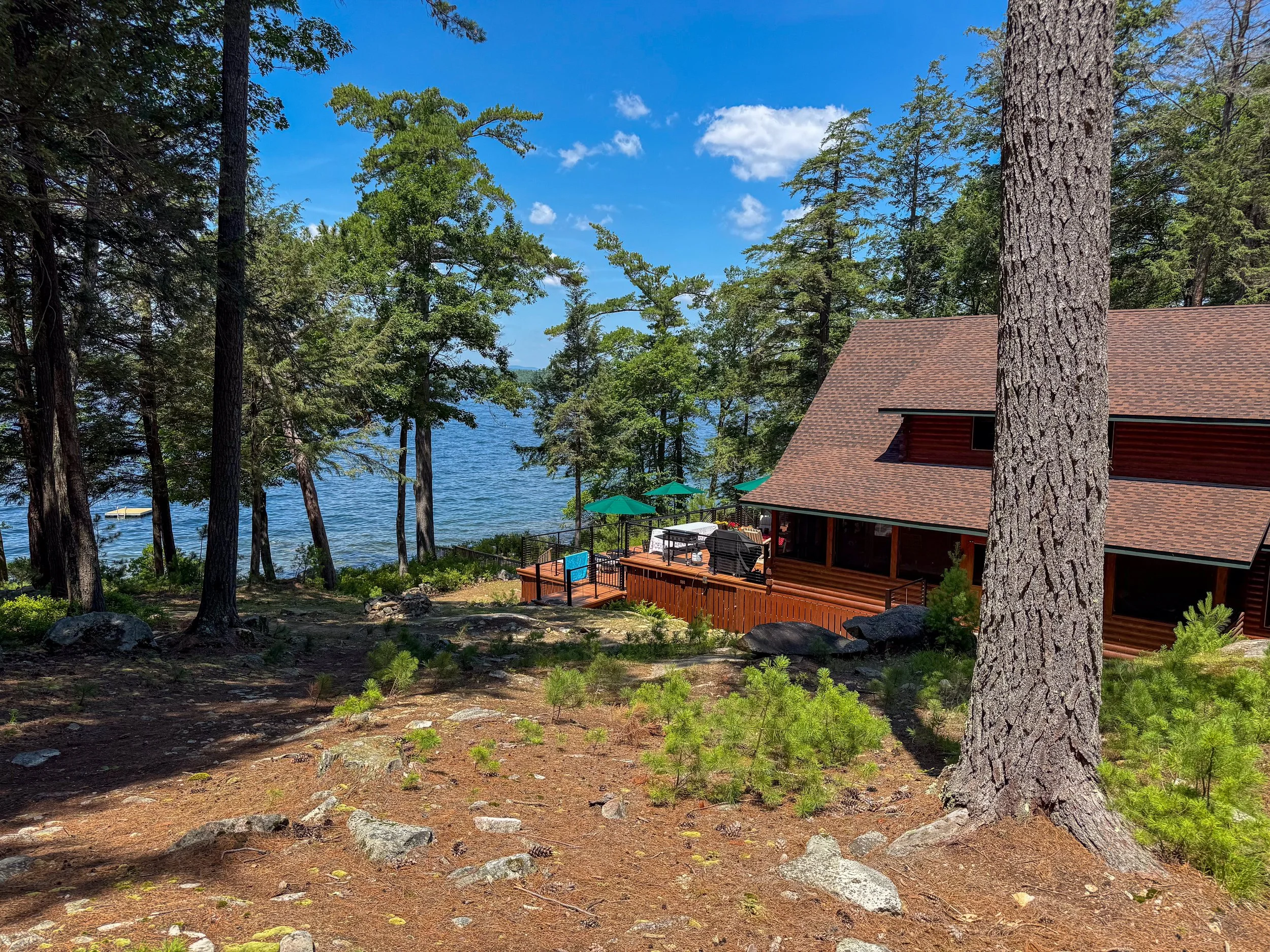
Another view of their home on the lake.
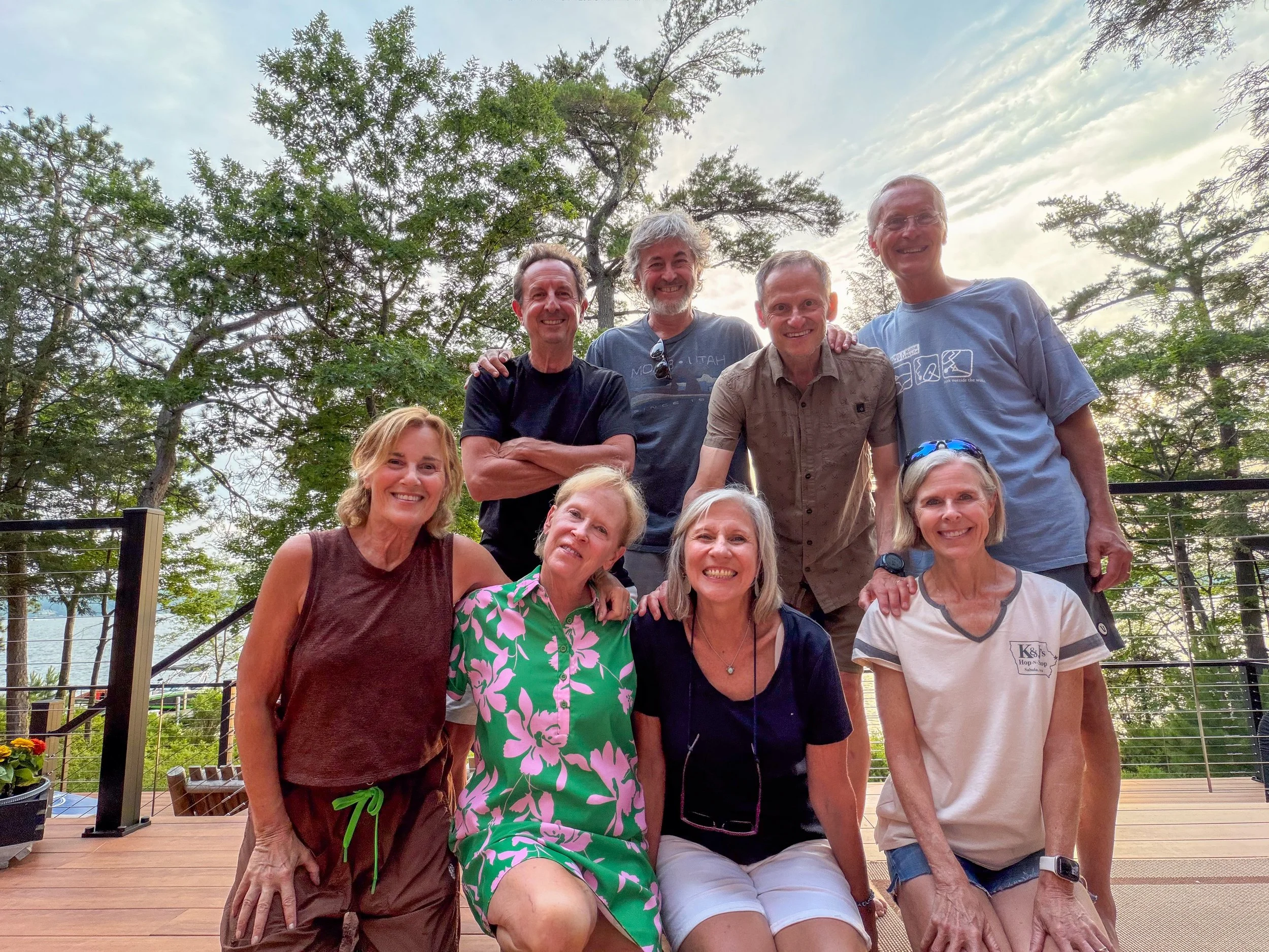
The full group of dog-park friends. Pretty amazing that a daily dog park meetup can lead to a wonderful group of friends.
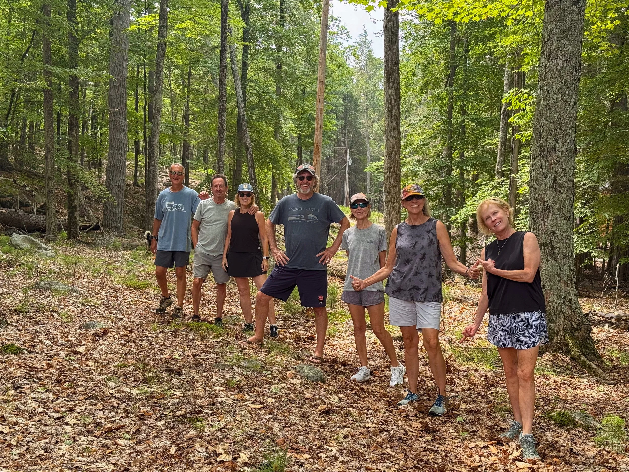
The island is large enough to hike around and explore.
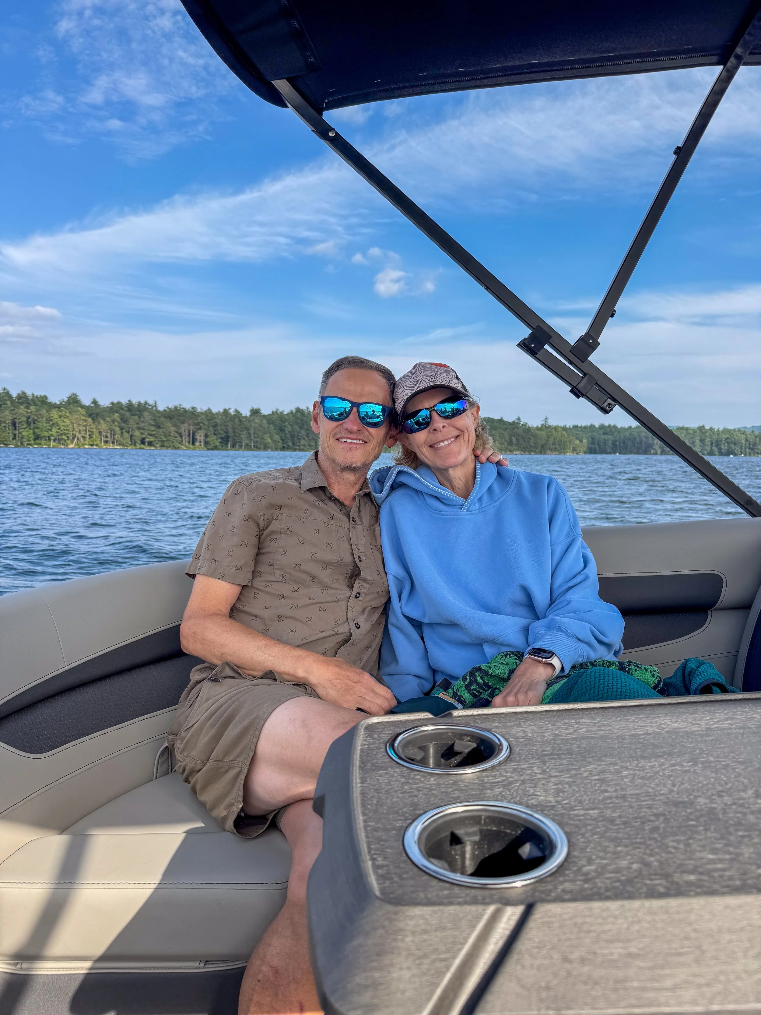
Enjoying their beautiful new pontoon boat.
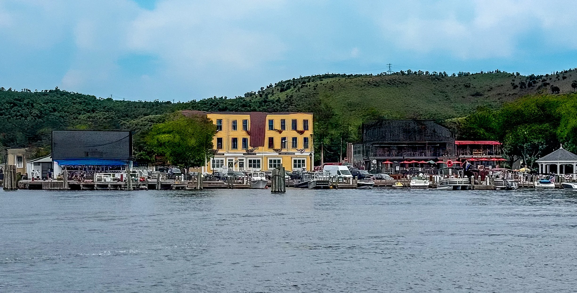
One of the fun things about island life is that you need to take a boat to go anywhere. We took 45 minute boat ride to Wolfeboro for lunch. Wolfeboro’s calls itself “The Oldest Summer Resort in America”.
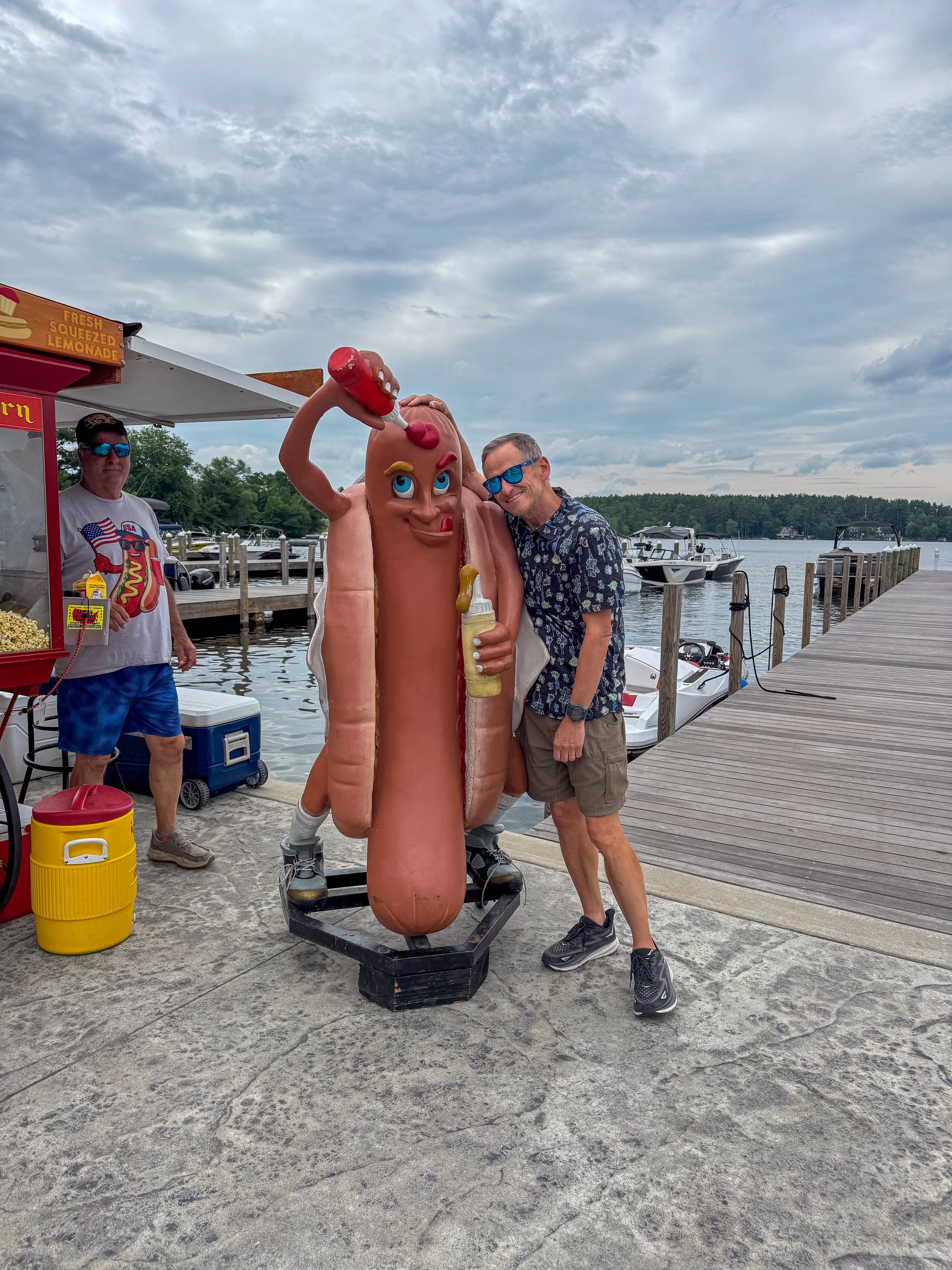
Rich hanging out with the Sabrett Hot Dog man.
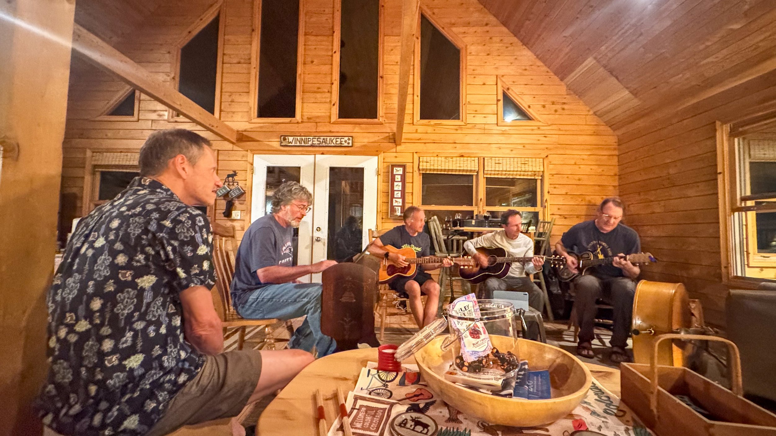
A lot of our friends are musicians and like to play when they get together.
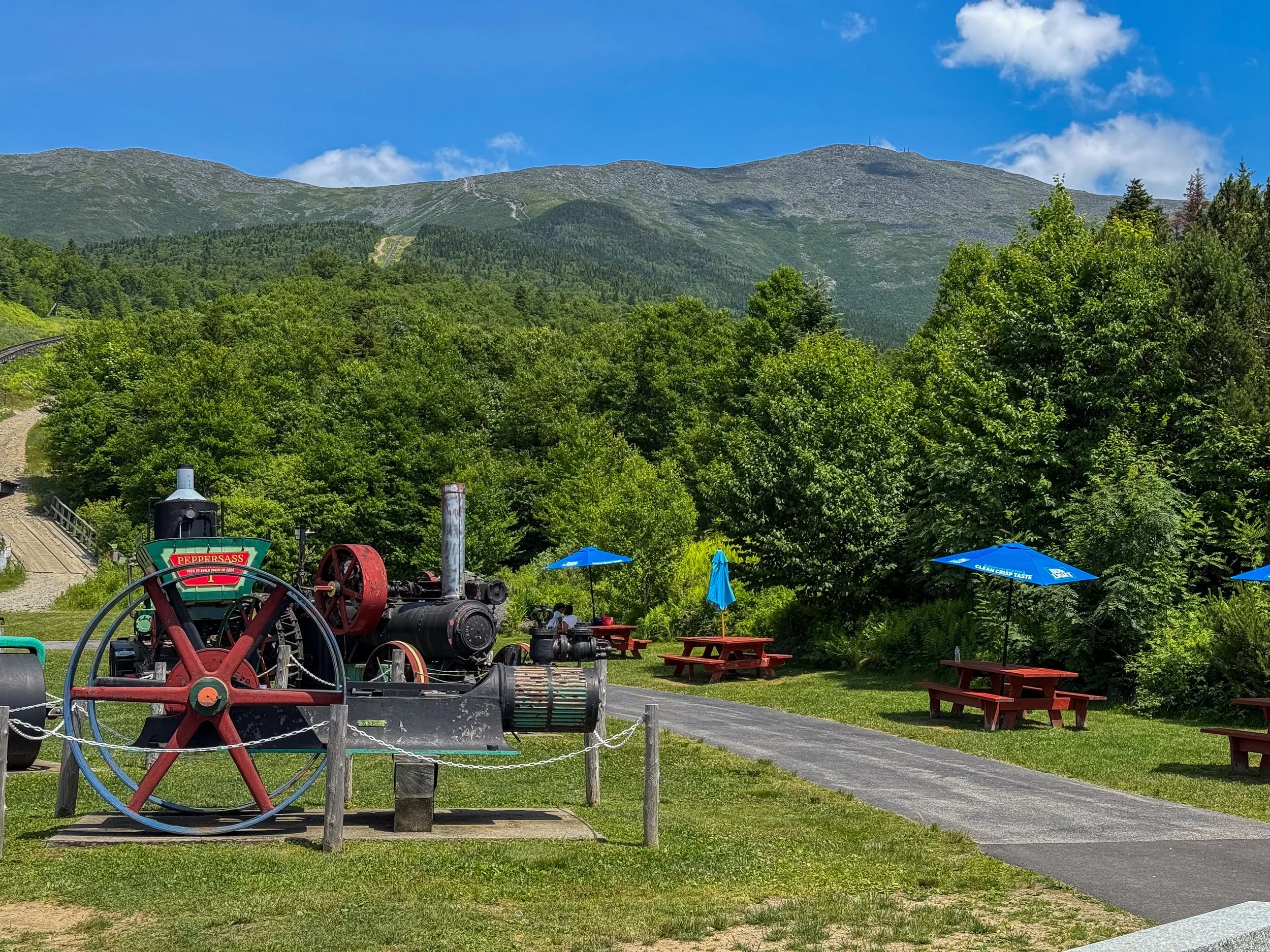
After leaving the lake, we drove to Mount Washington - the highpoint in New Hampshire. It was afternoon when we arrived and it was too late to hike to the top, so we took the Cog Railway.
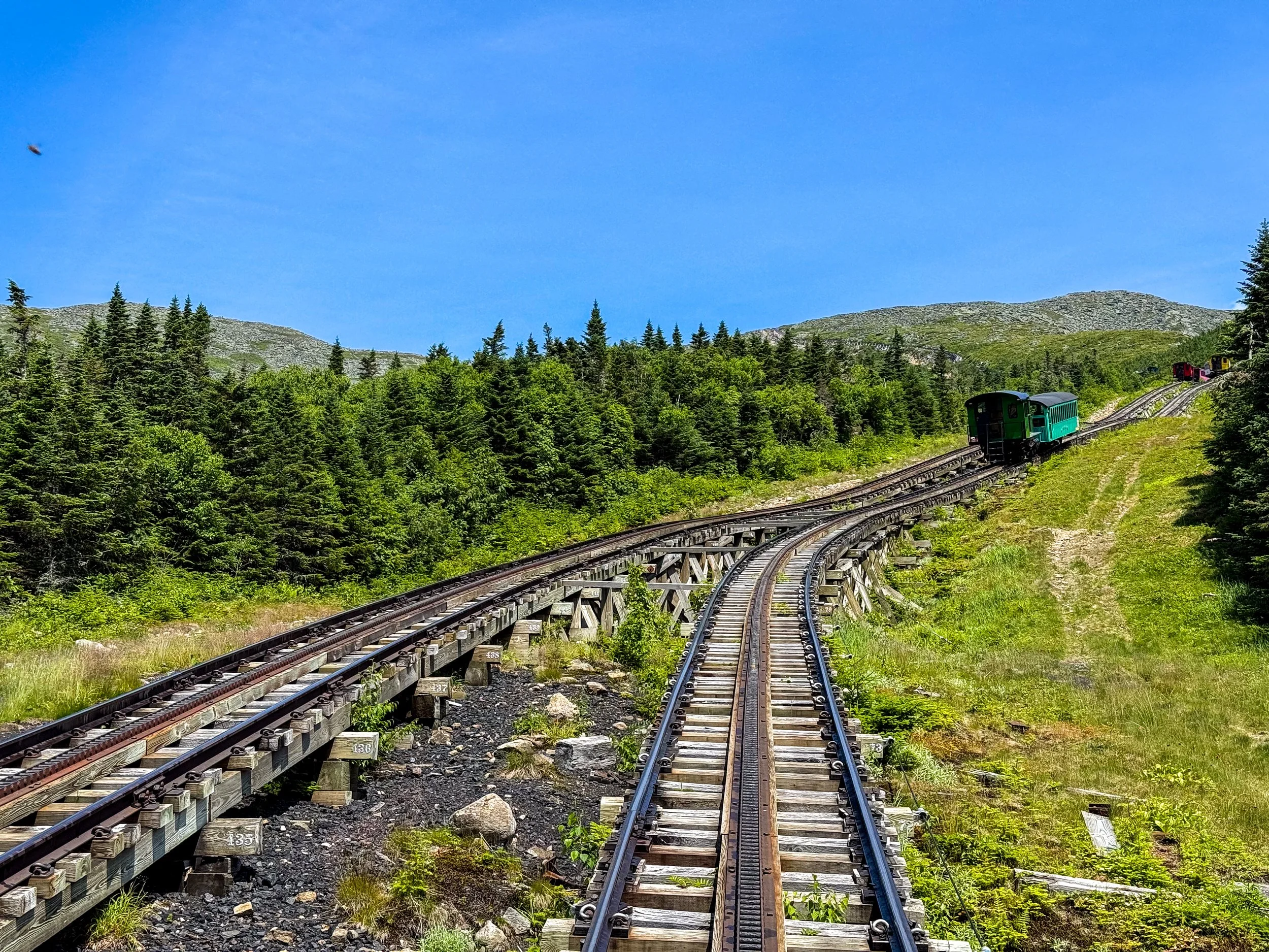
The Cog Railway is the oldest in the US and opened in July, 1869. It was conceived by Sylvester Marsh, who nearly died during a storm while hiking Mount Washington and decided there had to be a safer way for people to reach the summit. Many thought his idea was impossible and nicknamed him "Crazy Marsh," but he proved them wrong. His design using a rack-and-pinion system was unique and ultimately copied by cog railways all over the world.
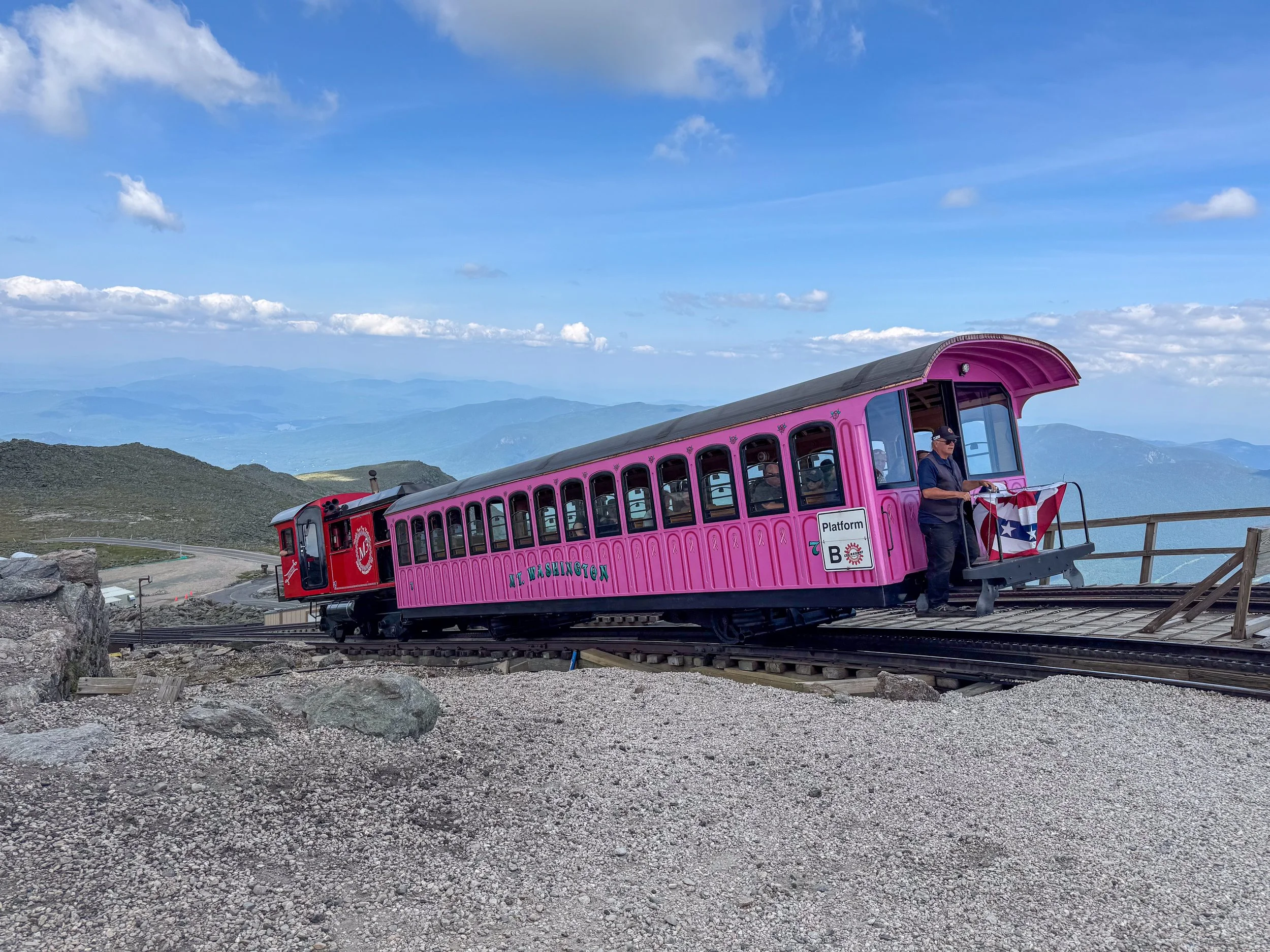
The railway travels 3 miles and gains 3700 feet on its journey to the summit.
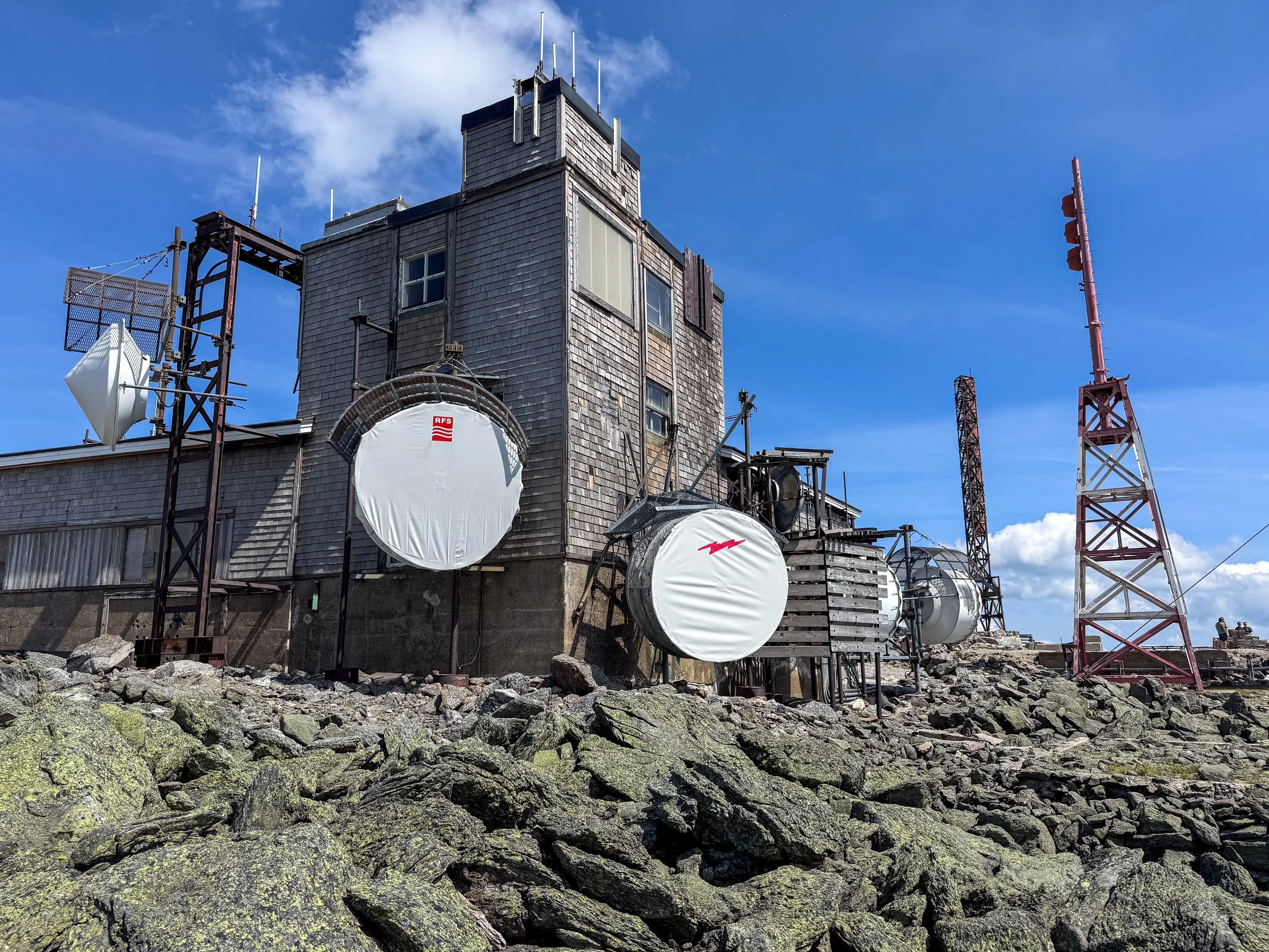
Mount Washington is the highest peak in the northeastern United States, rising 6,288 feet above sea level in New Hampshire's White Mountains. Although it is modest in elevation compared with peaks in the west, it has extreme weather and a rugged alpine environment similar to 14,000 foot peaks in Colorado. Multiple weather patterns converge over Mt Washington making it one of the windiest places anywhere. On April 12th, 1934 the weather station recorded a wind speed of 231 MPH, which is still one of the highest wind speeds ever recorded anywhere on earth (outside of a tornado or cyclone).
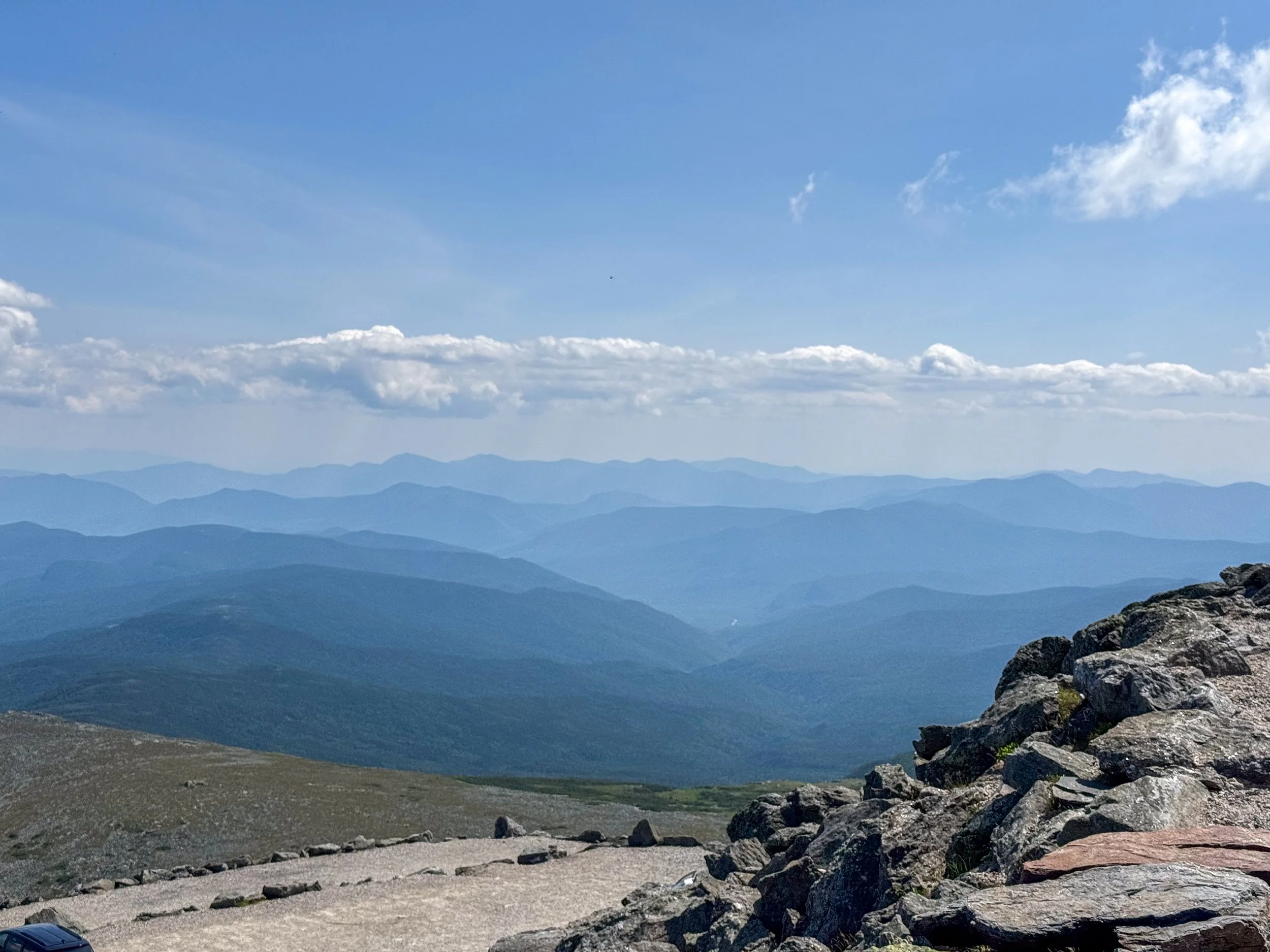
Looking East from the summit.
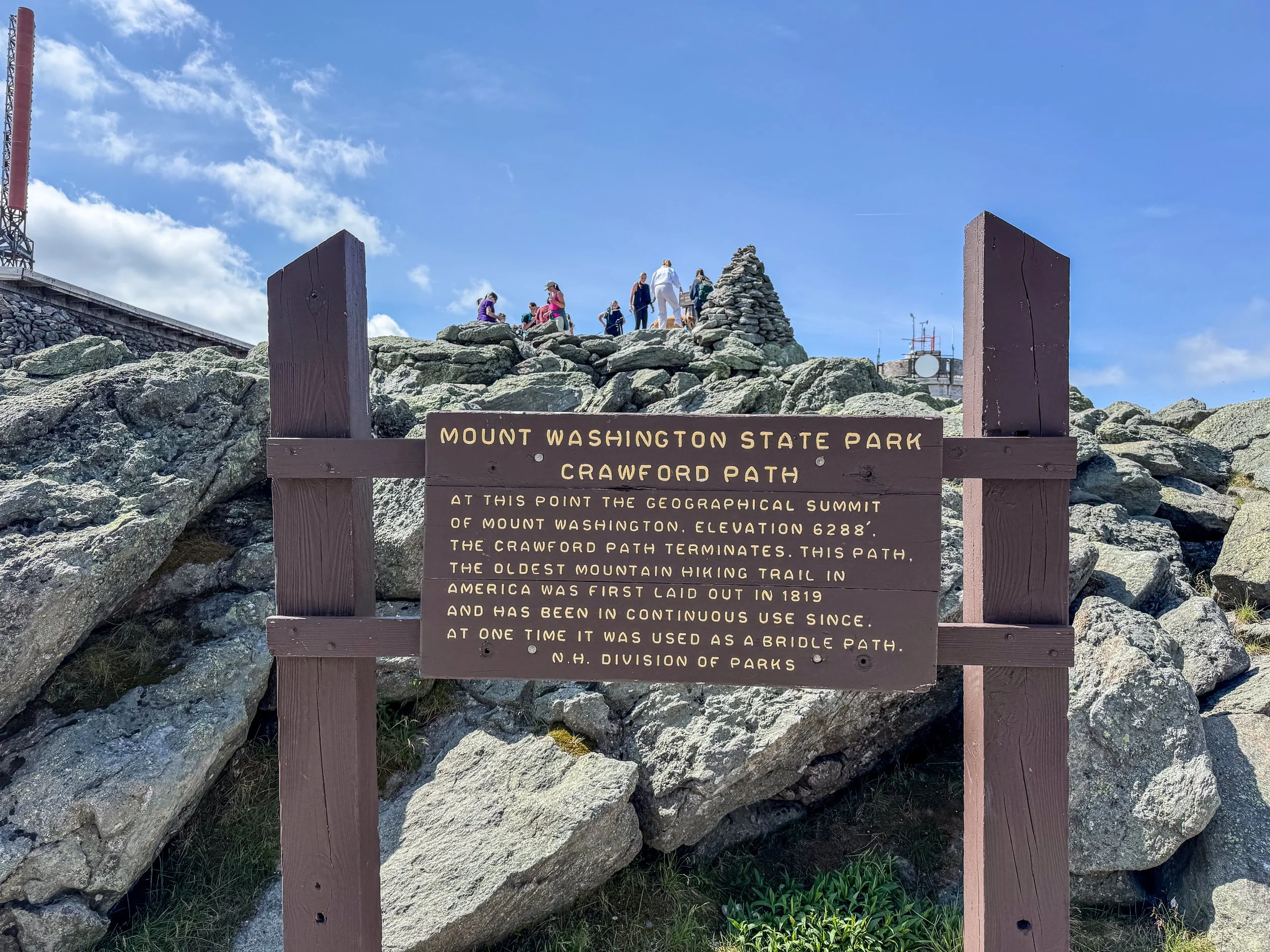
We had a beautiful day without wind on the summit.
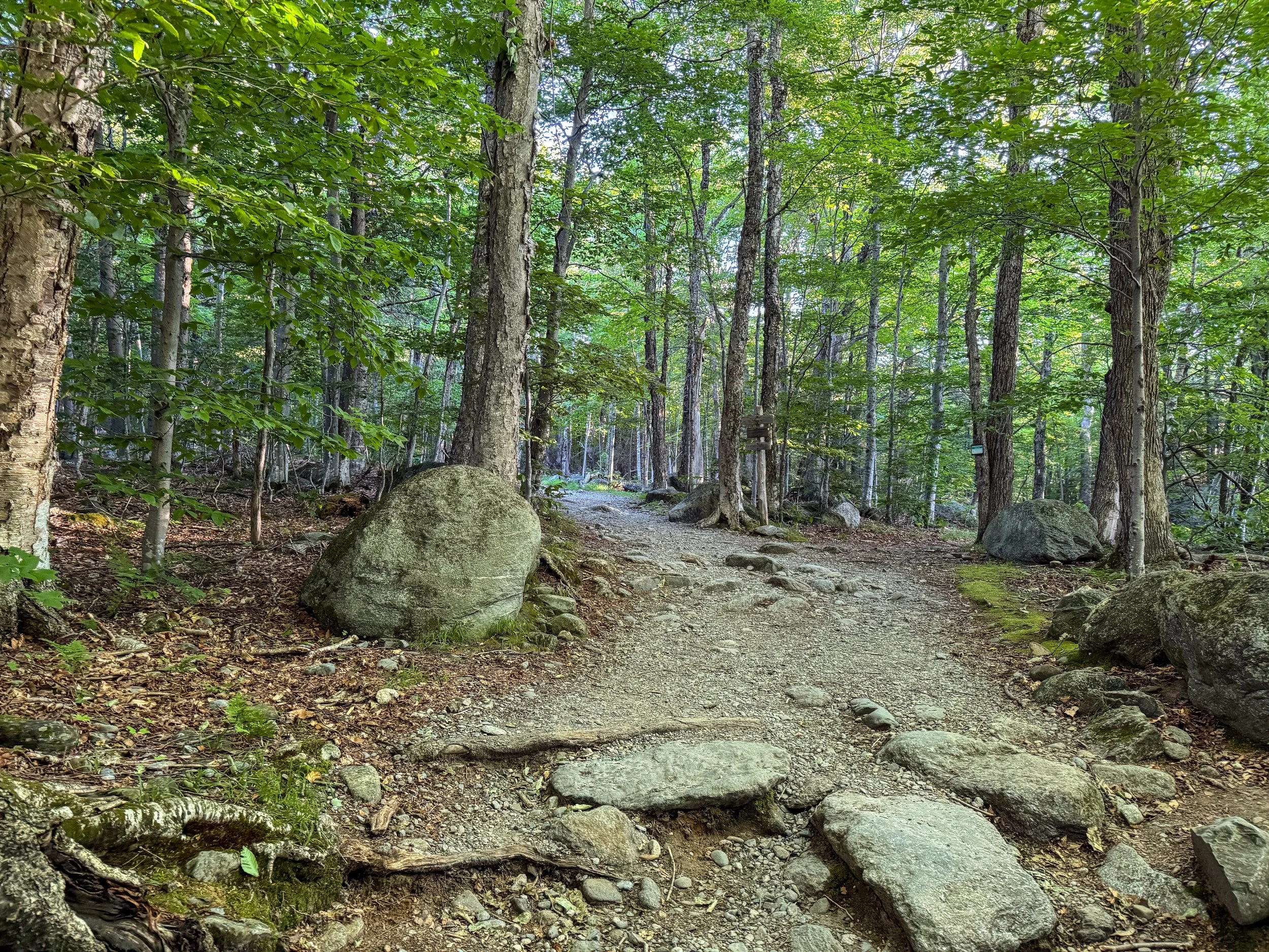
The next day we set out to climb Mt Washington via Tuckerman’s Ravine. The trail is about 4.5 miles and gains 4300 feet of elevation.
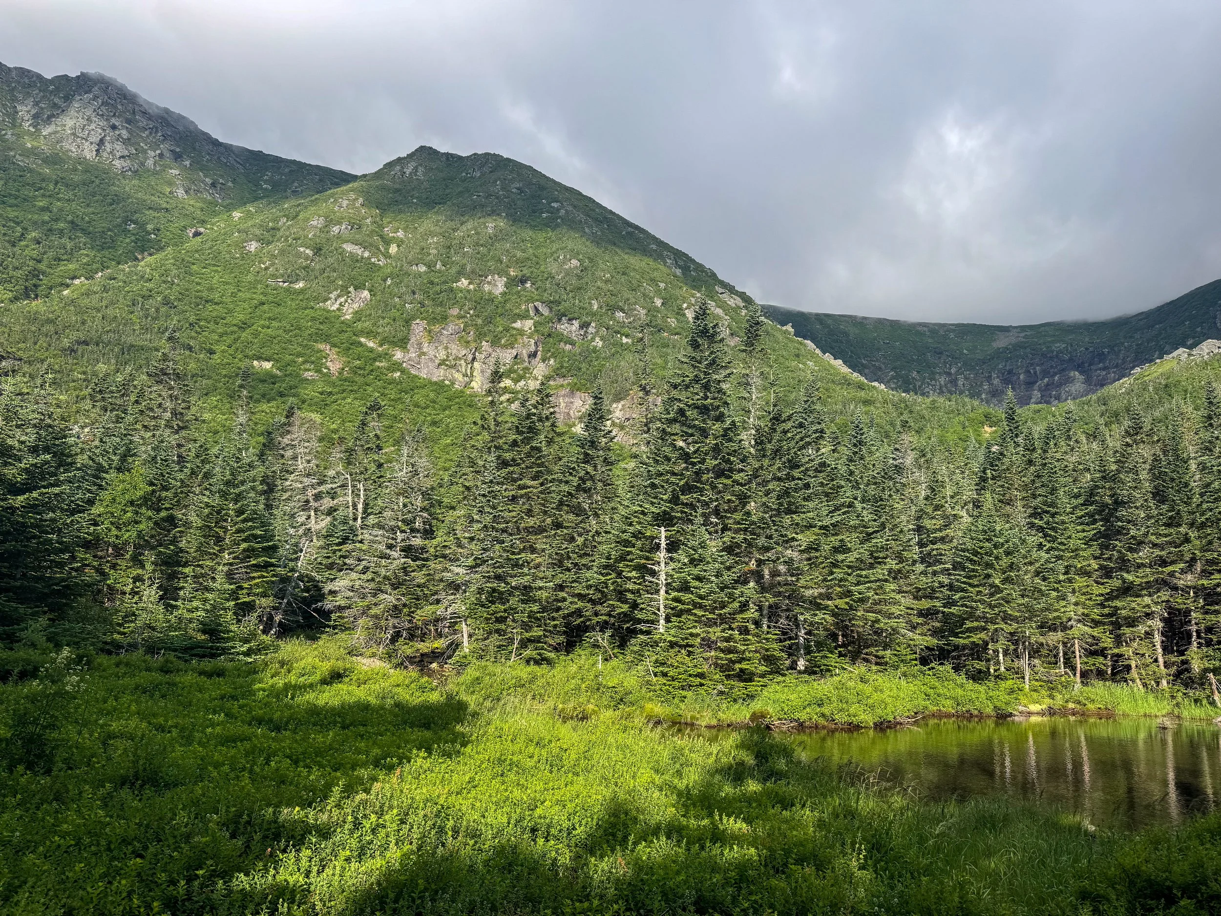
The weather at the base was sunny and nice but we could see the summit was shrouded in clouds.
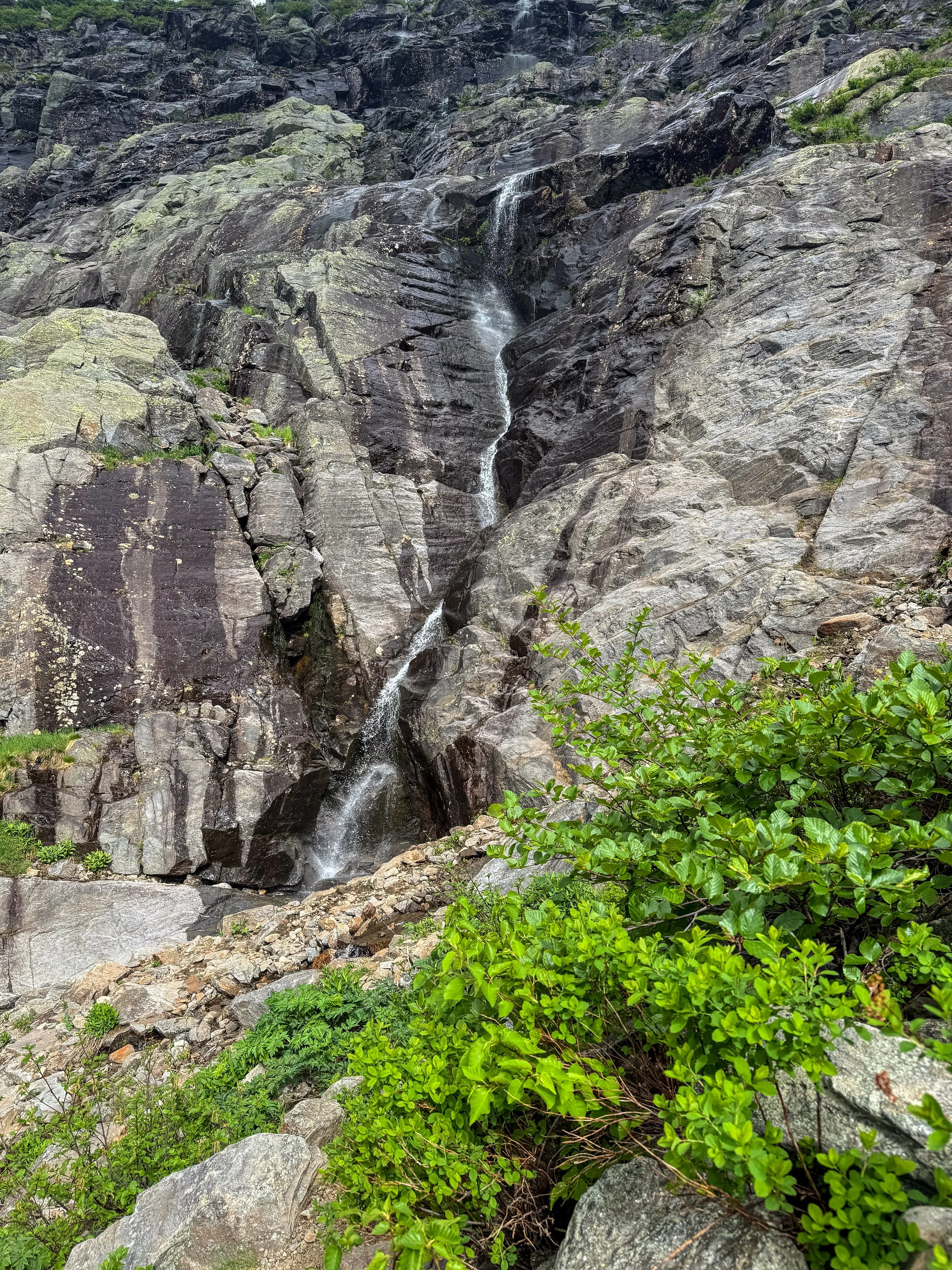
The Tuckerman’s Ravine trail becomes beautiful above tree line.
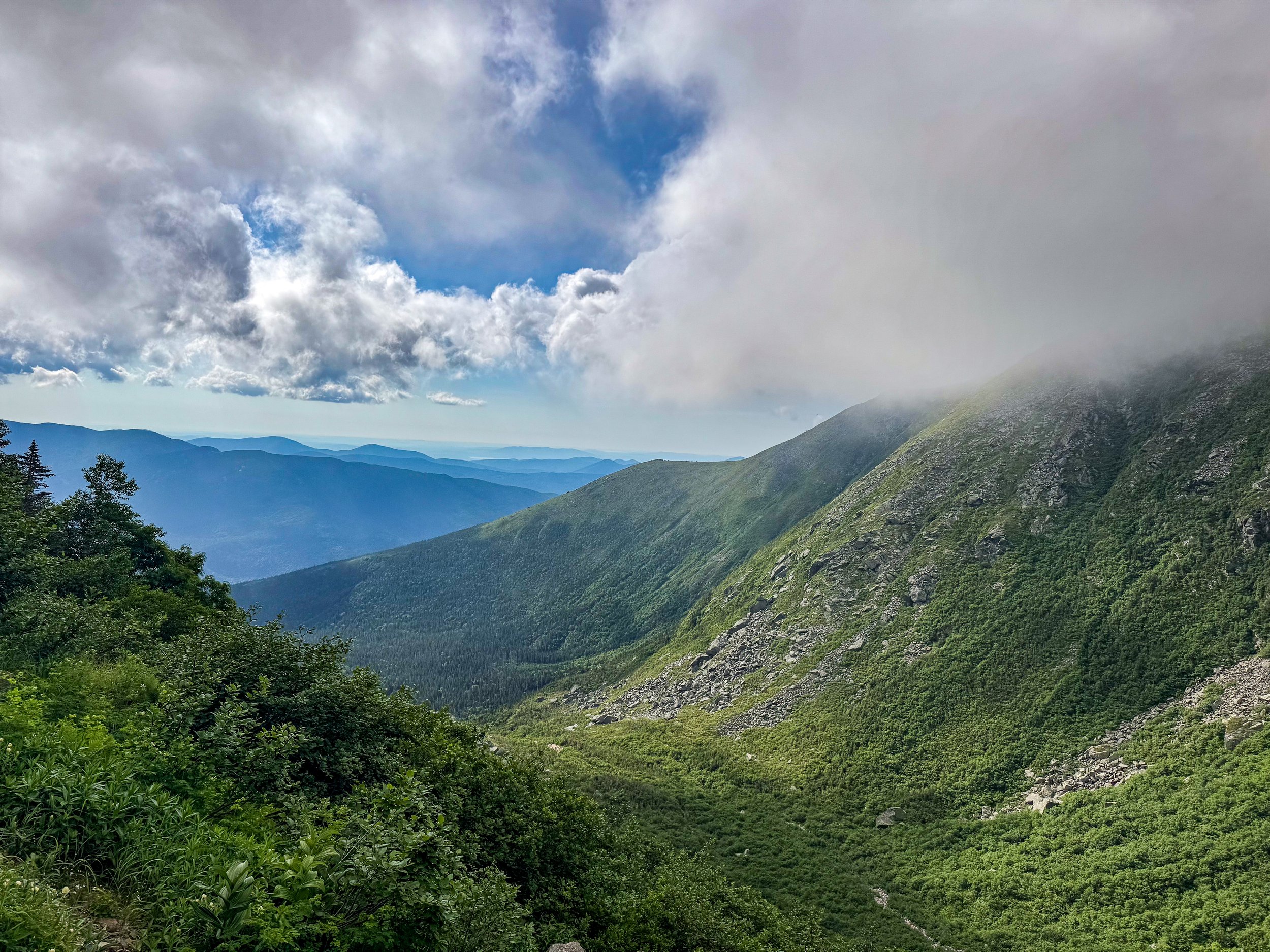
Looking back toward where we started.
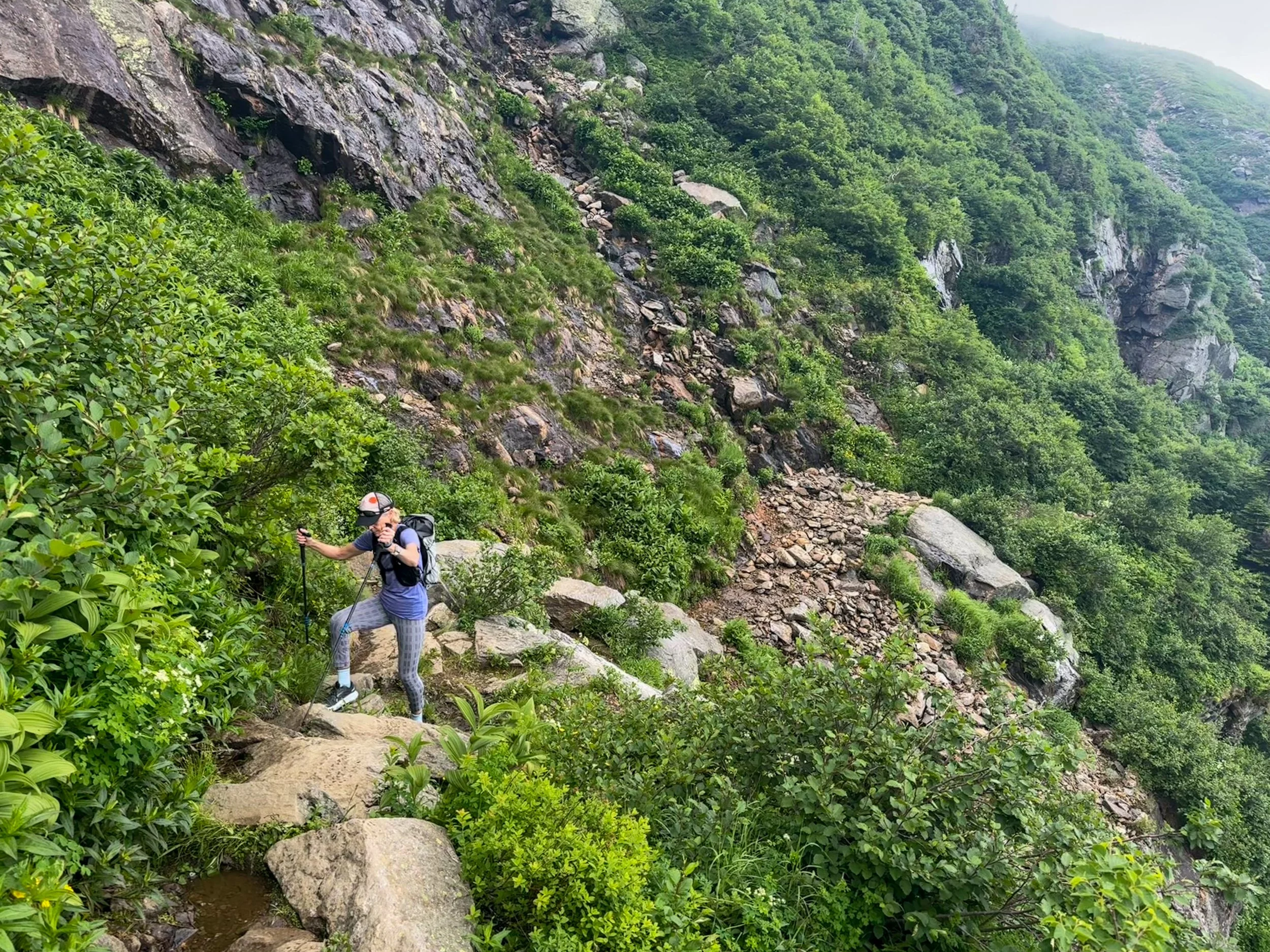
As you get higher, the trail gets steeper.
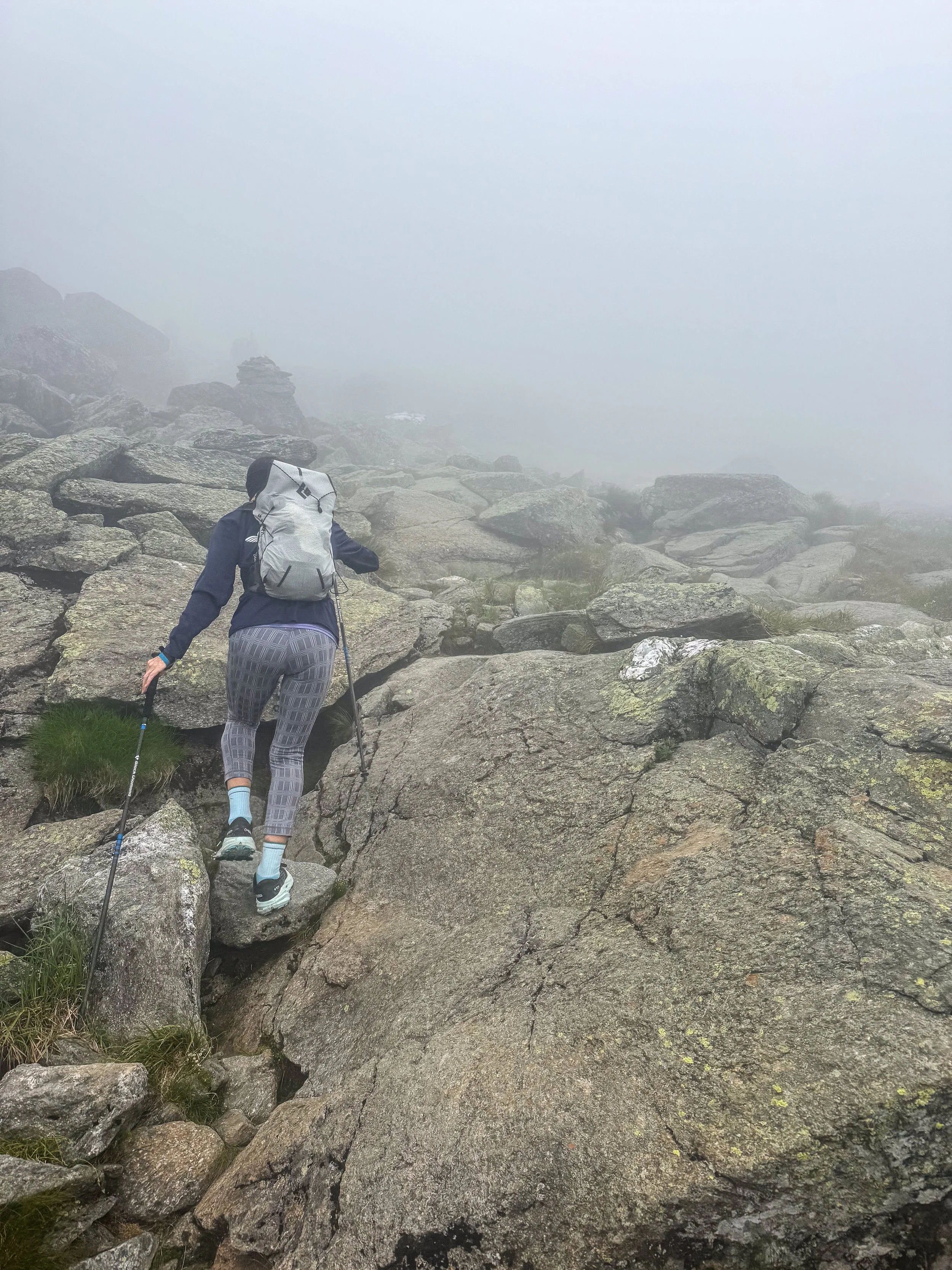
Once we hit 5500 feet we were in the clouds.
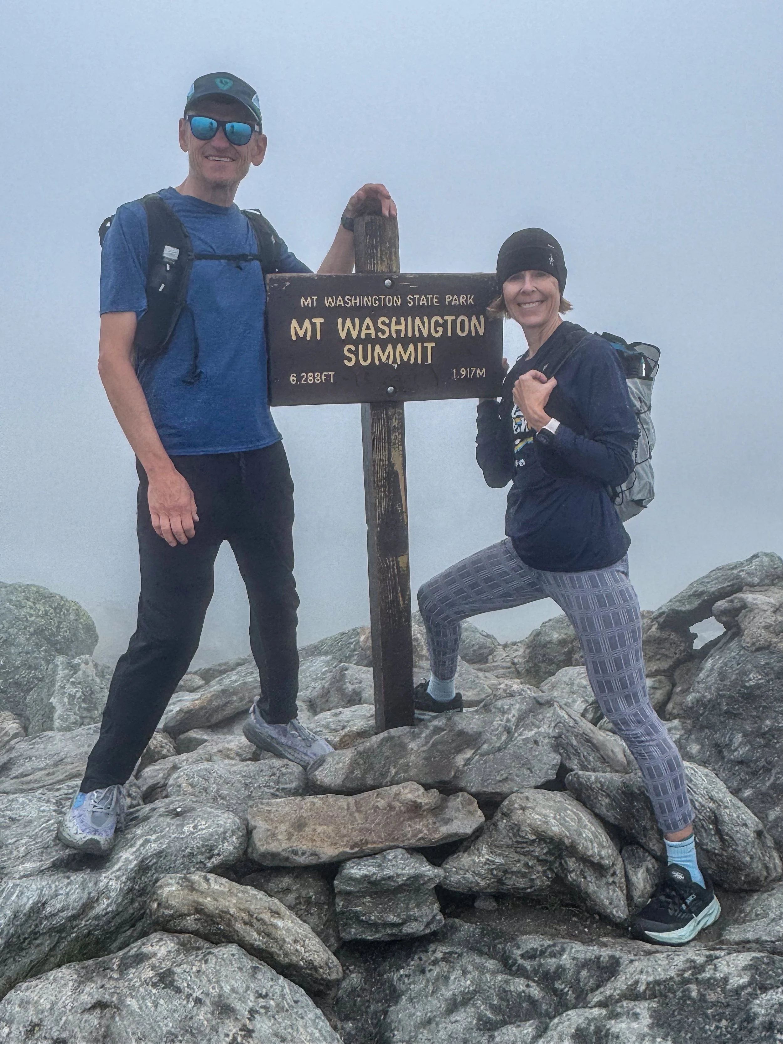
Staci is very happy we are at the summit (and that we can get a ride down). Although it was foggy, it was warm and windless.
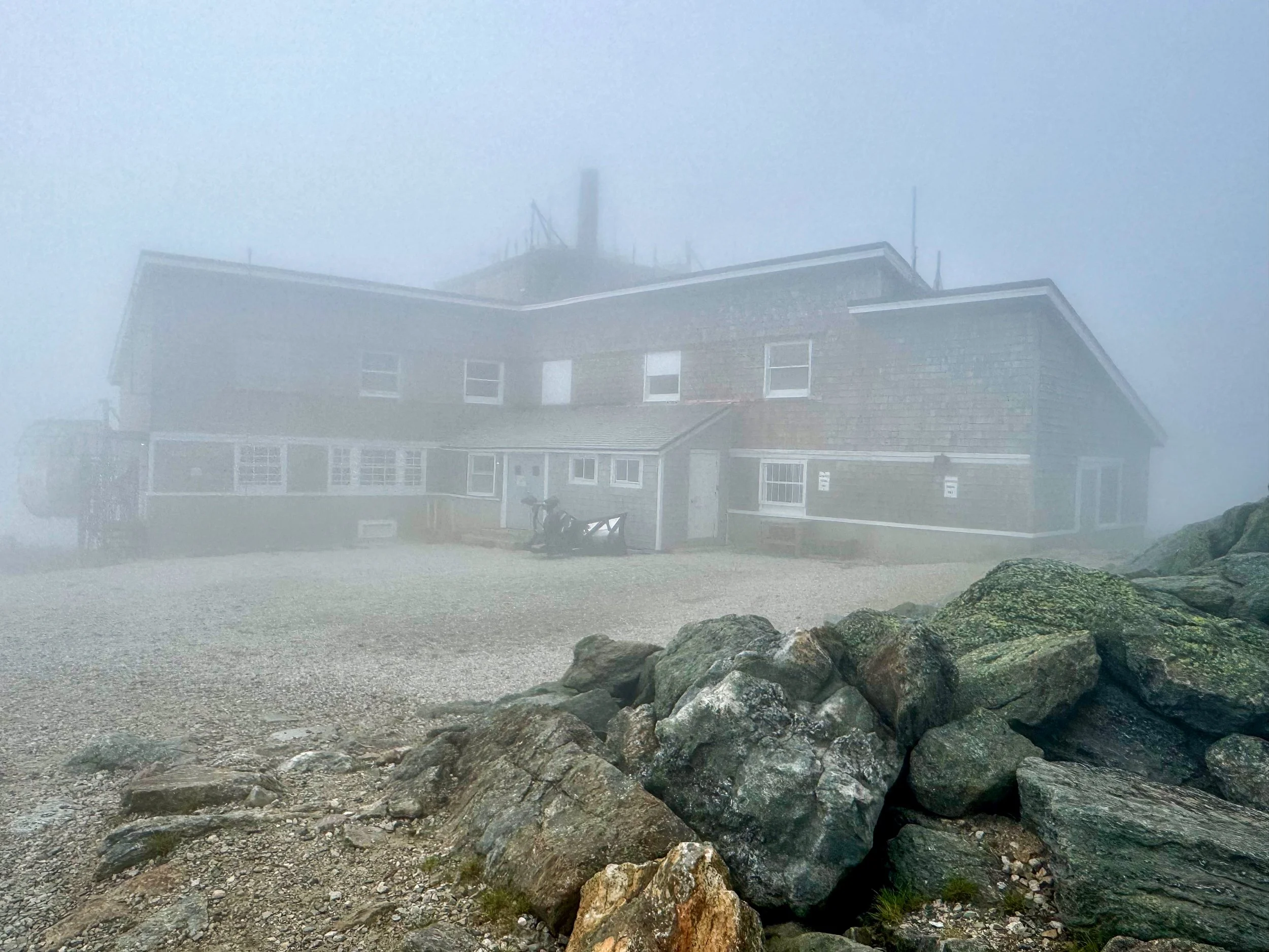
The weather station.
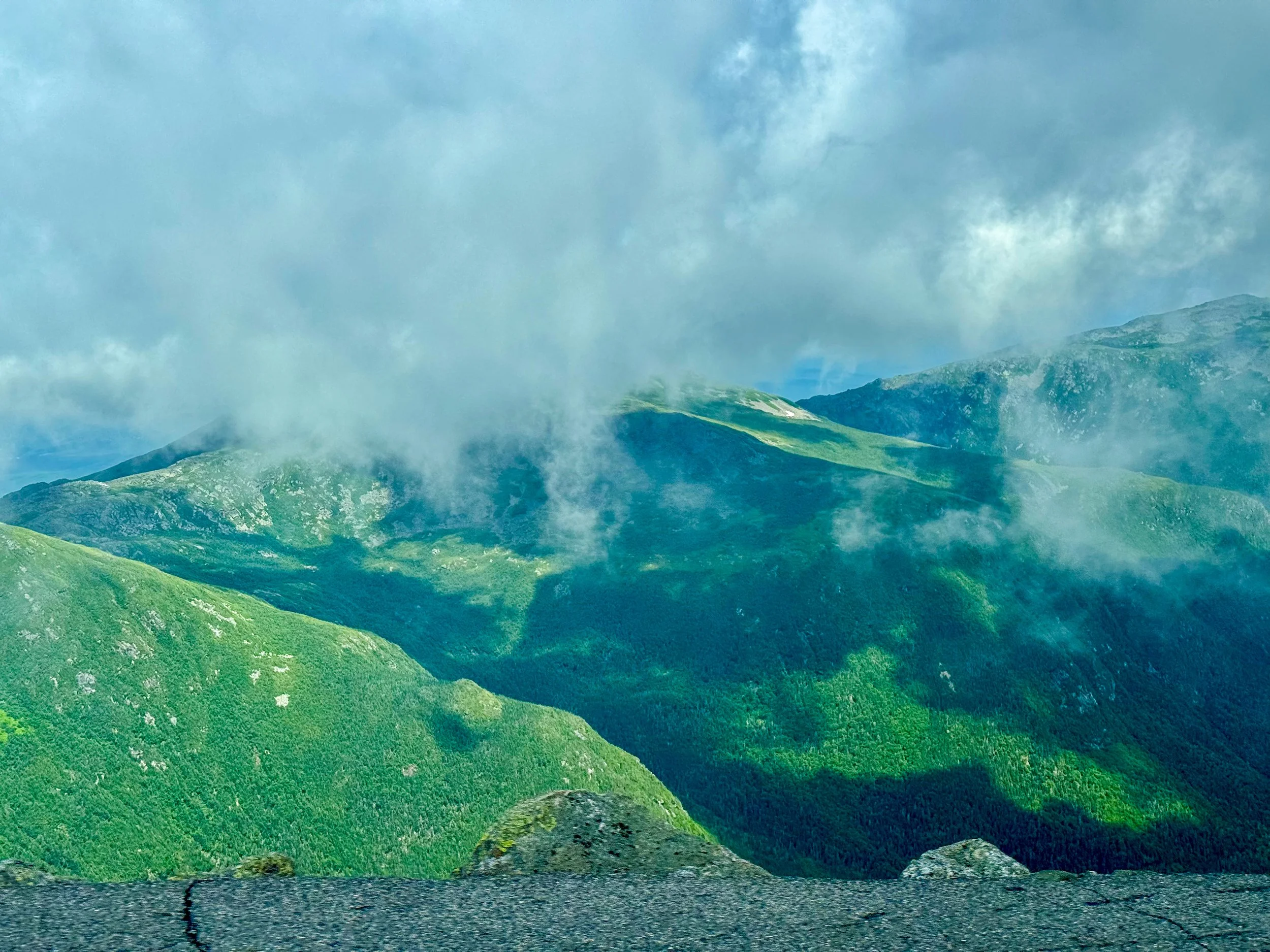
As we departed, the clouds began to clear on the summit.
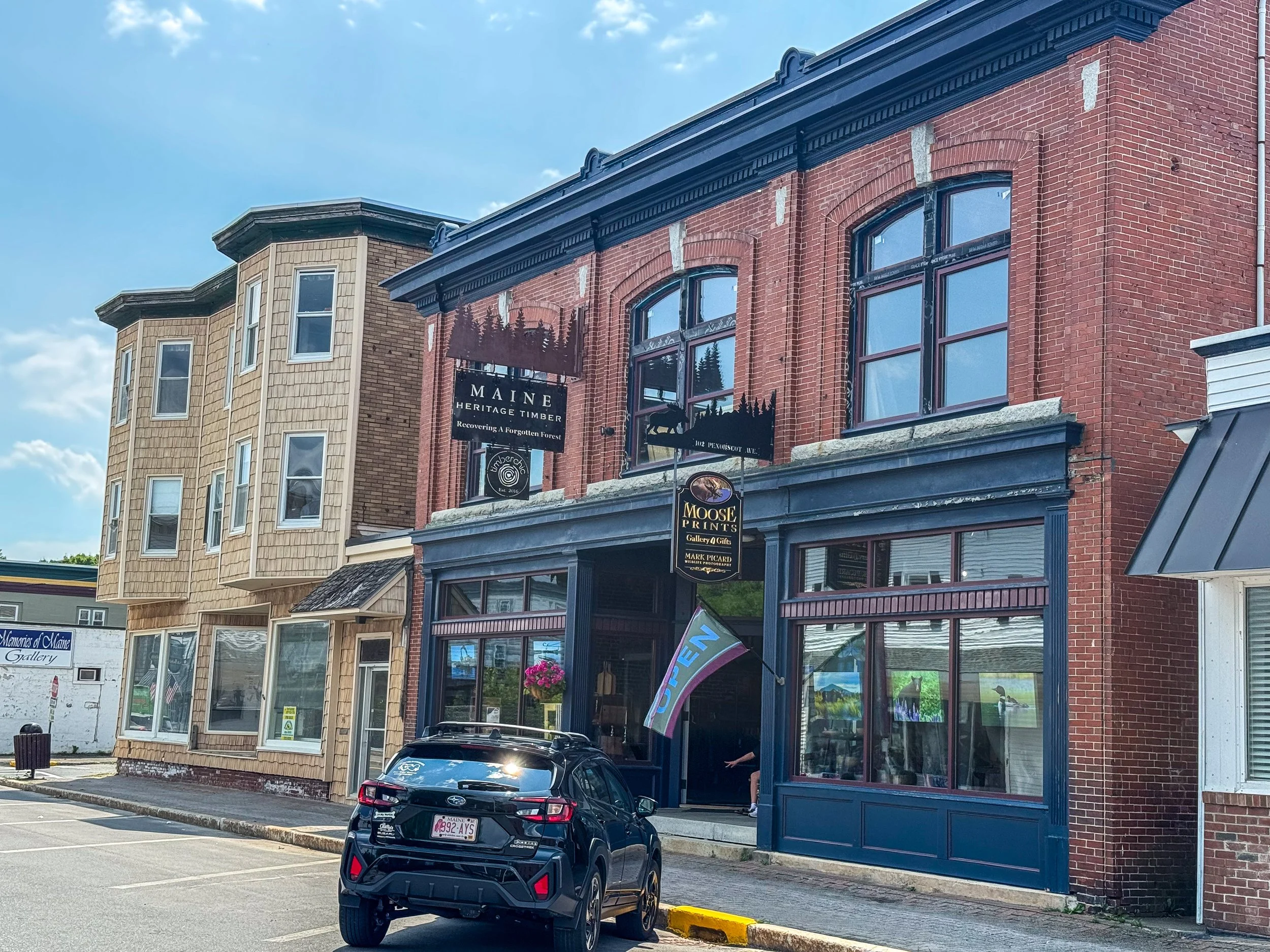
From Mt Washington, we drove 7 hours North to the town of Millinocket, Maine. Millinocket is a small town of about 4,000 people located at the northern edge of Maine's North Woods. It is best known as the gateway to Mount Katahdin and Baxter State Park, making it one of the premier outdoor recreation destinations in New England.
Millinocket was founded around the turn of the 20th century as a company town for the Great Northern Paper Company. Vast forests of spruce and fir supplied one of the largest paper mills in the world, and for decades the town thrived on logging and papermaking. At its peak, thousands of people worked in the mill, and the community bustled with stores, restaurants, and civic organizations.
The paper industry declined in 1980s and the mill eventually closed. Like many former mill towns in northern New England, Millinocket faced economic challenges and continues to struggle.
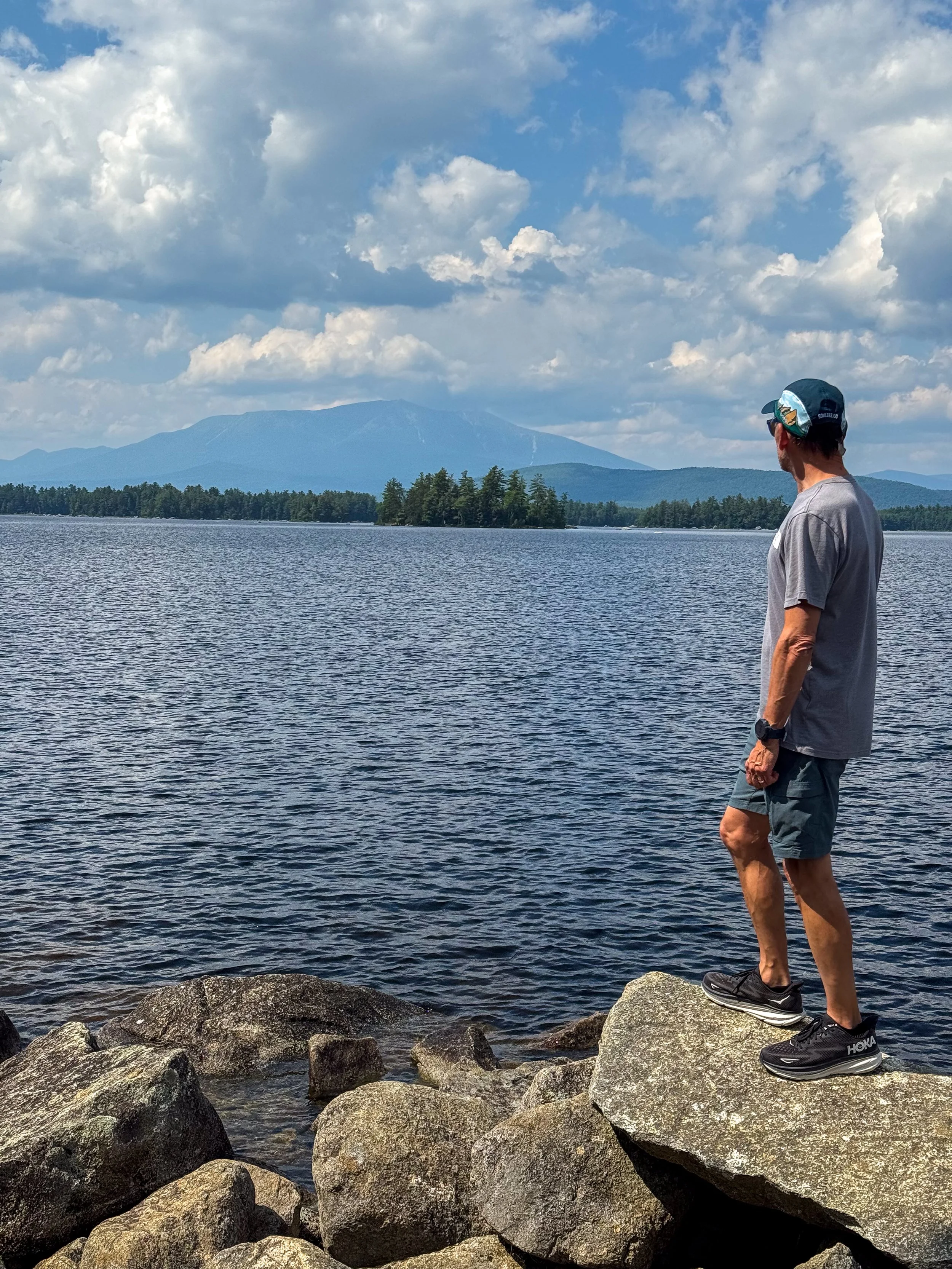
Rich looking across Lake Millinocket at Mt. Katahdin, our destination for the next day.
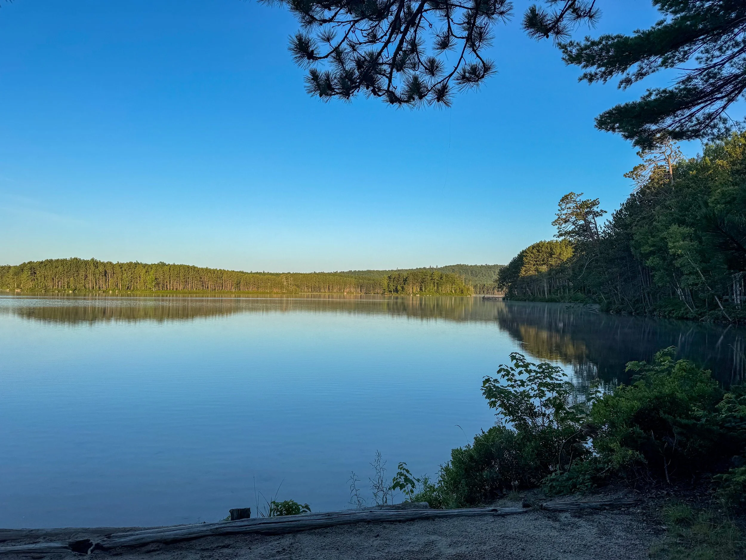
Sunrise at Upper Togue Pond in Baxter State Park.
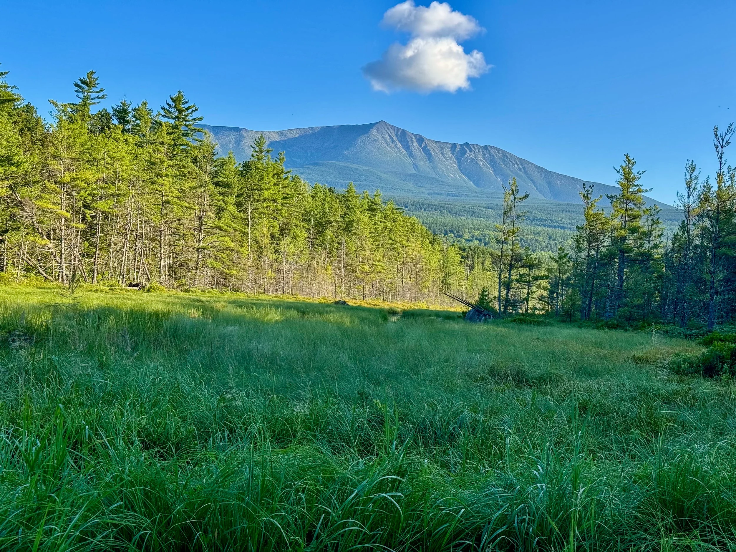
Sunrise on Mt. Katahdin.
Mt. Katahdin is one of the most remote and impressive and dangerous mountains in the Northeast. Being the highpoint in Maine and the terminus of the Appalachian Trail it is very popular in Summer.
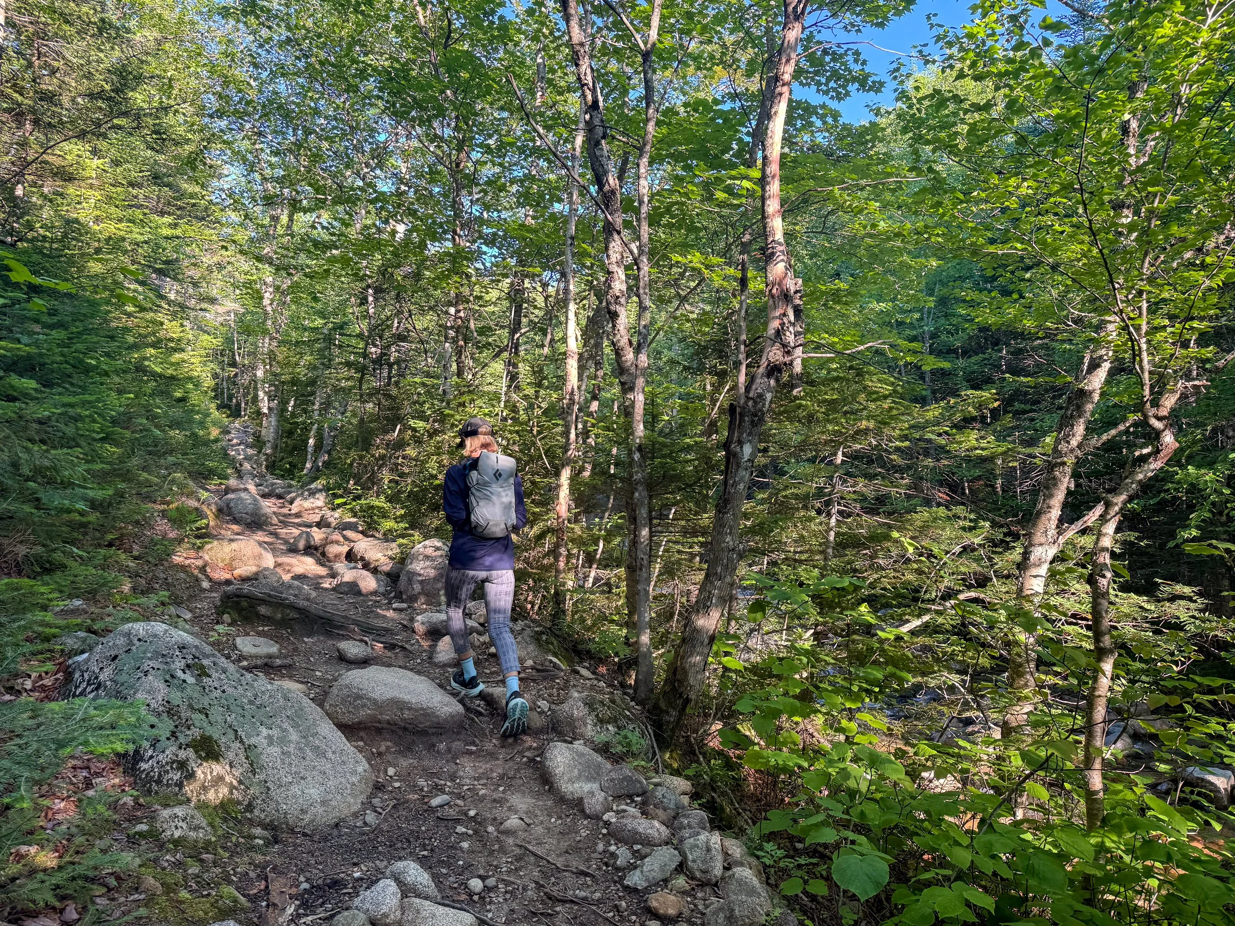
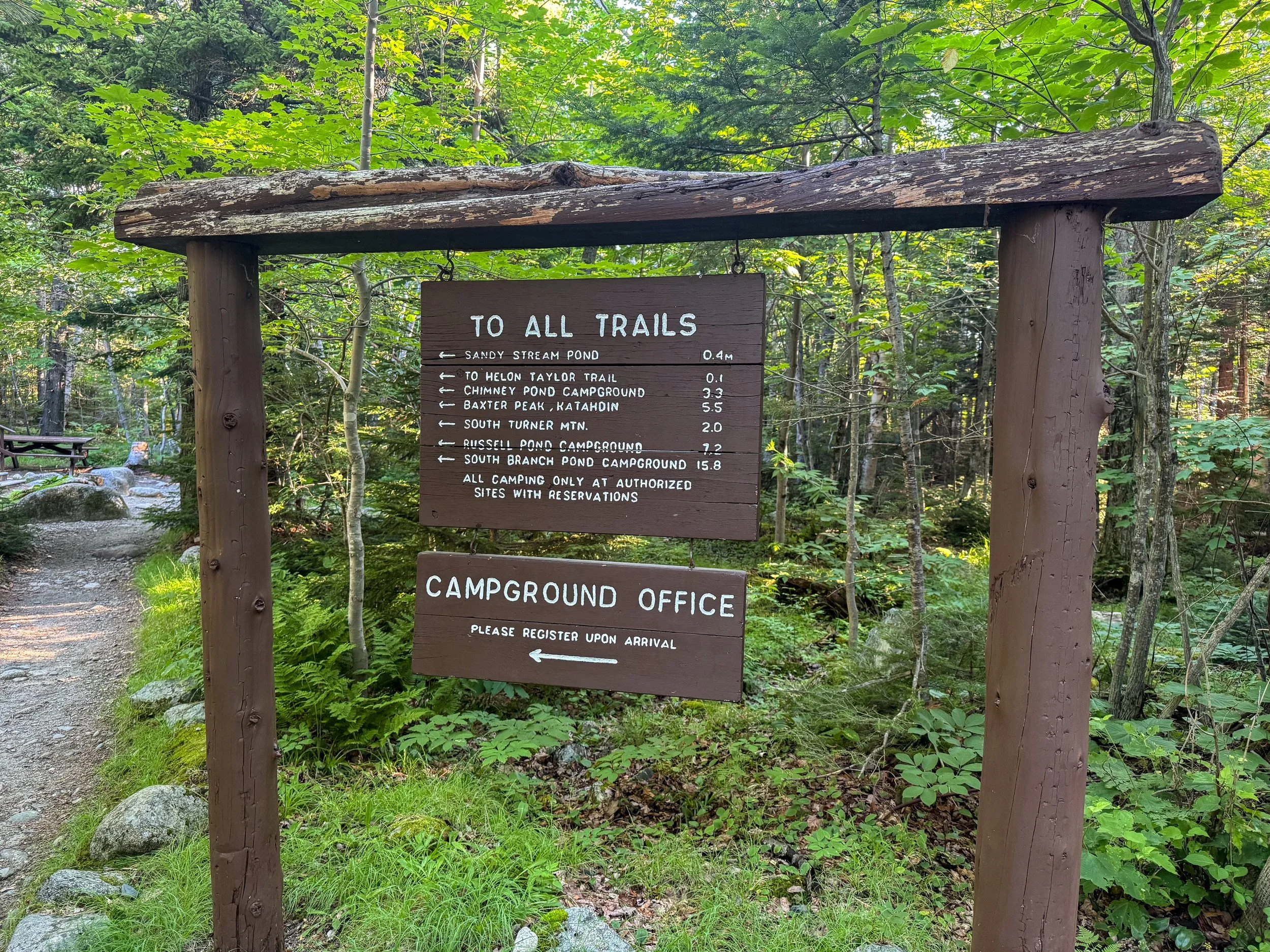
We began on the Chimney Pond trail, which is the easiest route up Mt. Katahdin.
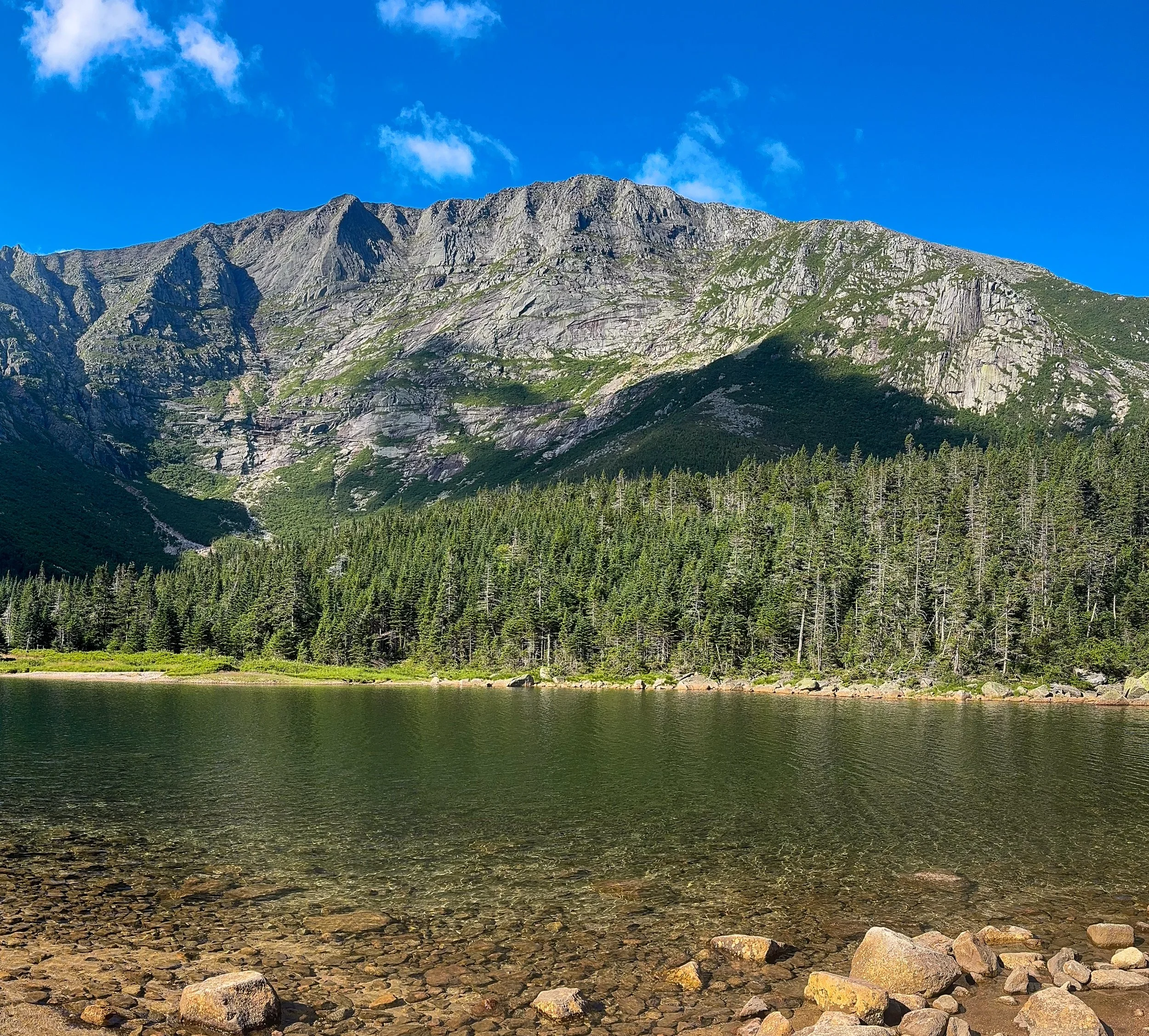
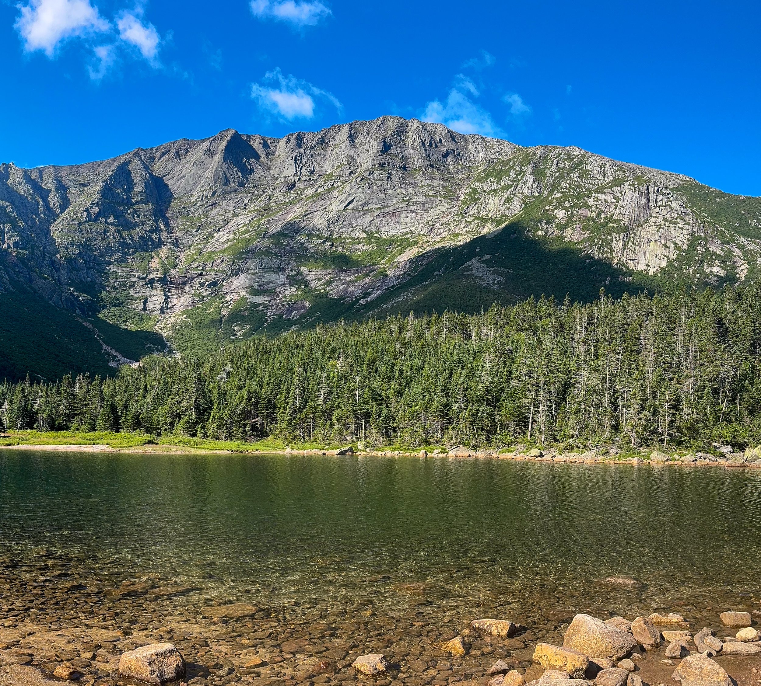
Looking out over Chimney Pond at Mt. Katahdin. We had a spectacular day. One ranger said it was the best weather of the year.
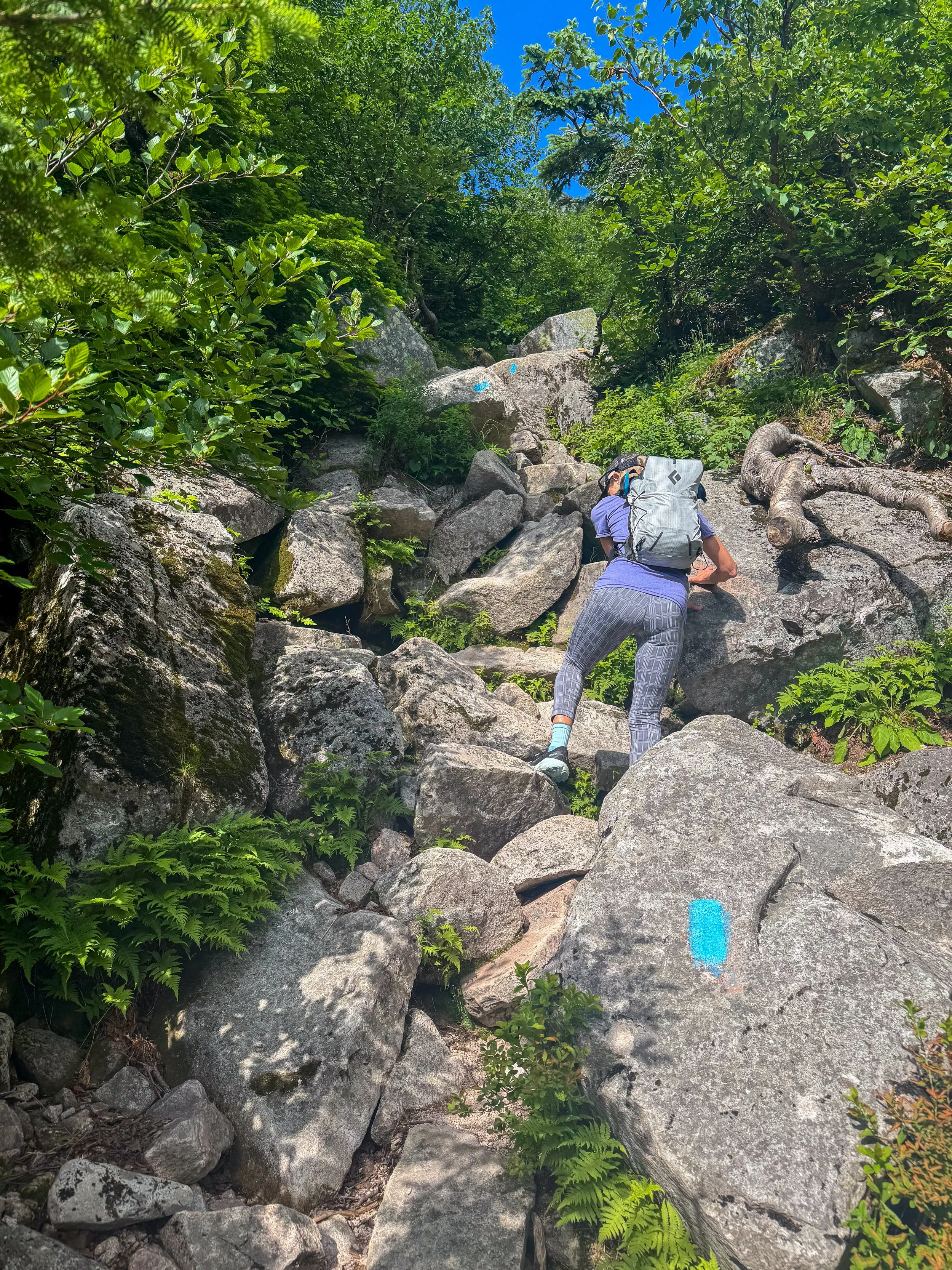
The Chimney pond trail gets steeper as it approaches the Katahdin saddle.
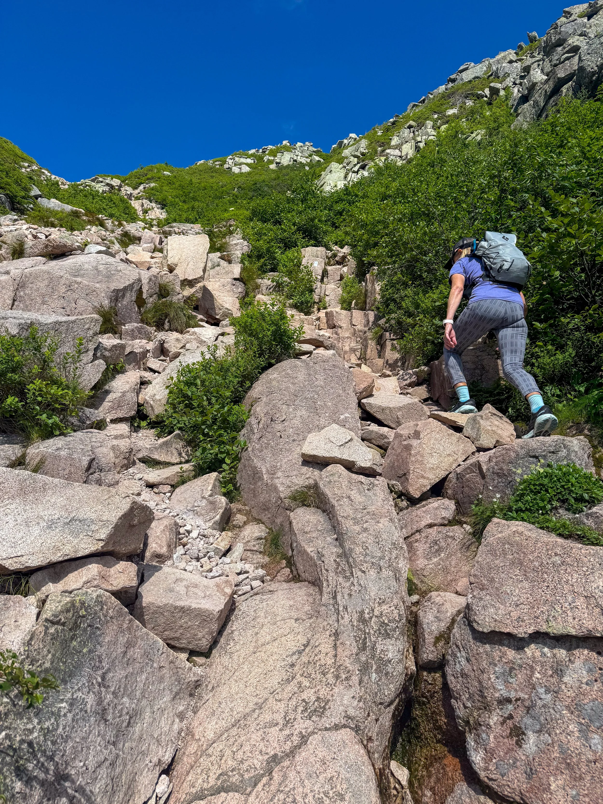
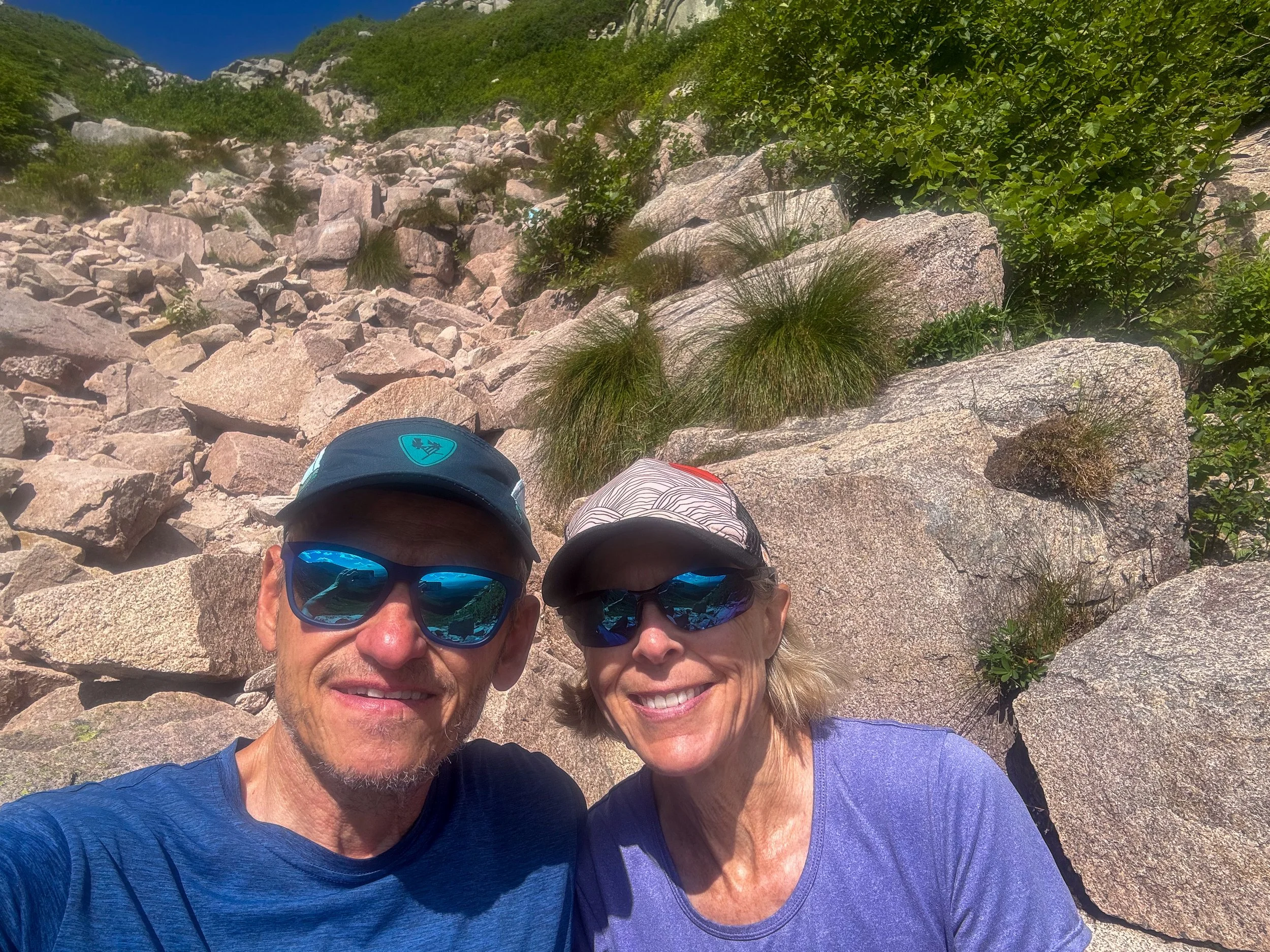
Staci chose to stop near the top of the Saddle Slide, which became very loose and steep. We had lunch together and I headed toward the summit and she headed back down to the lake.
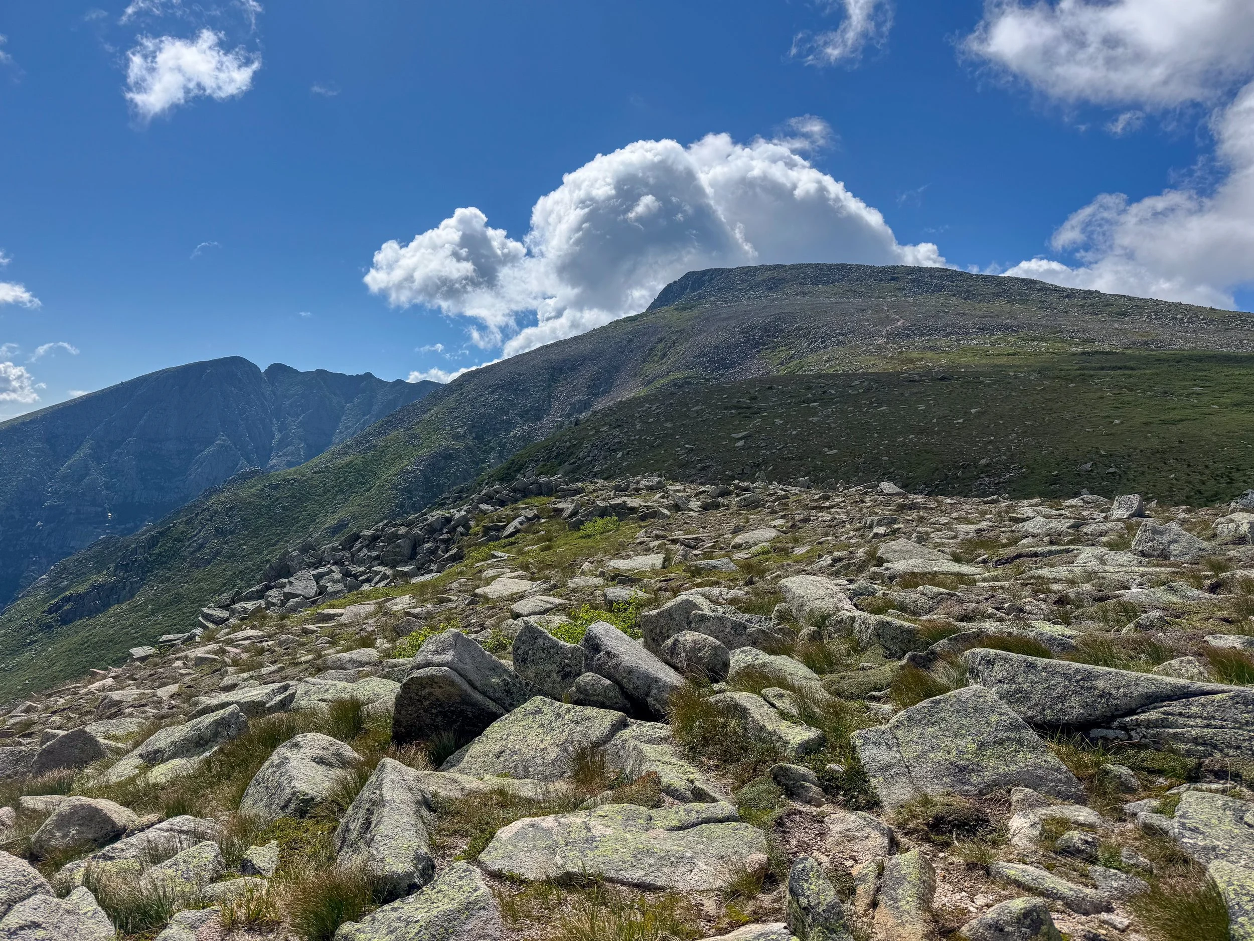
Once I got above Saddle Slide on the ridge, the rest of the rout to the summit was easy.
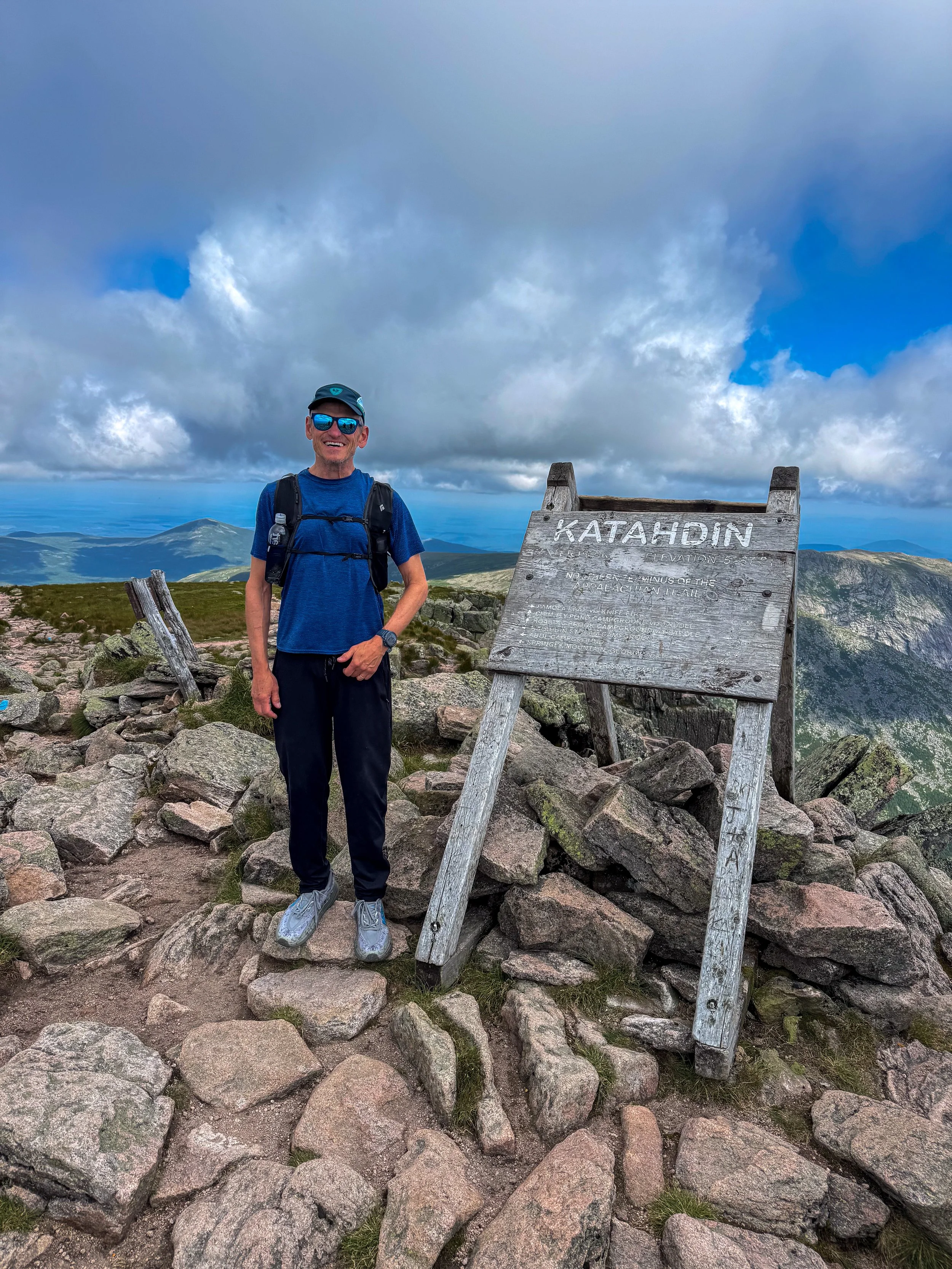
On The summit of Katahdin, the highpoint in Maine.
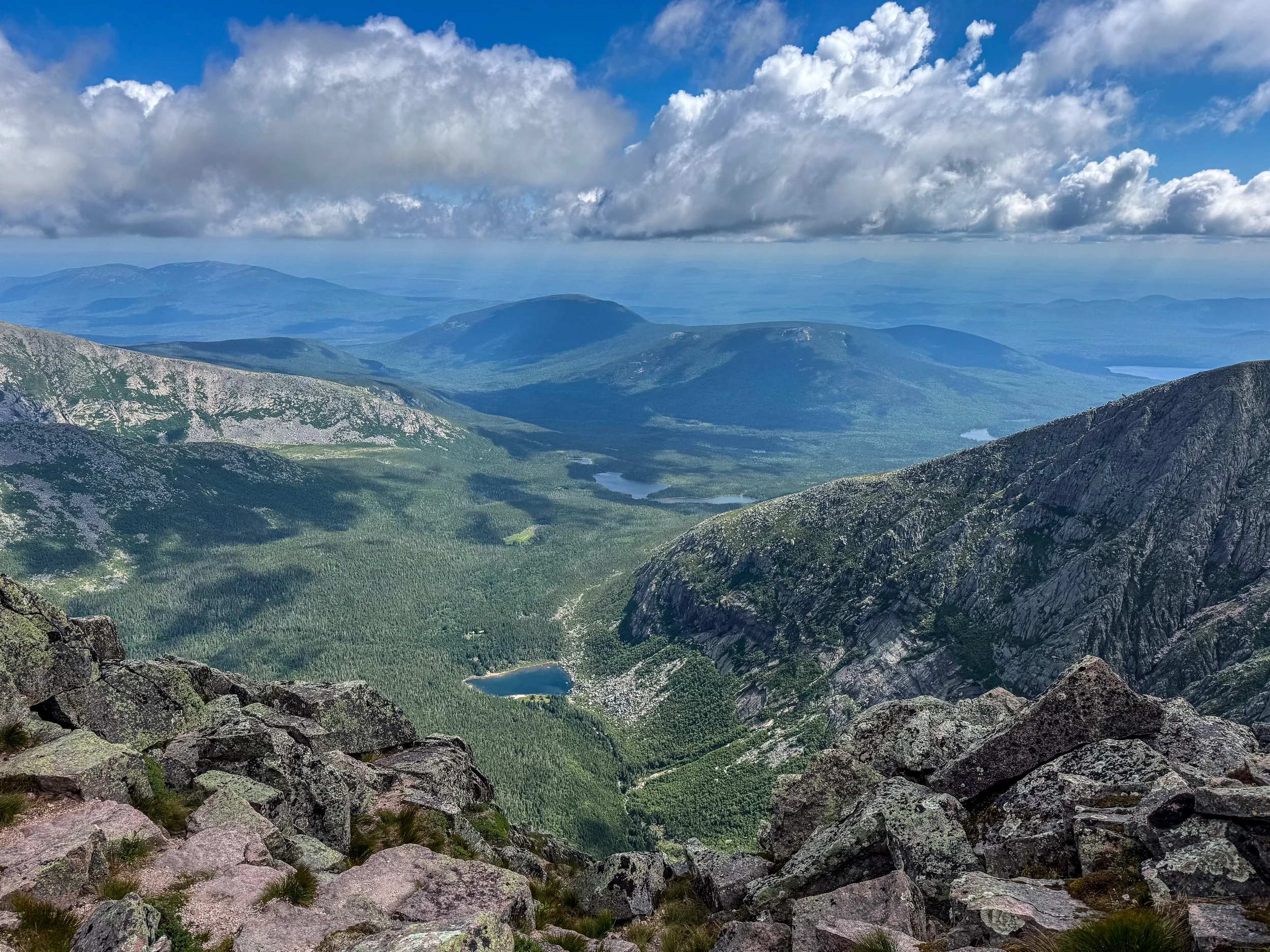
Looking east fro the summit.
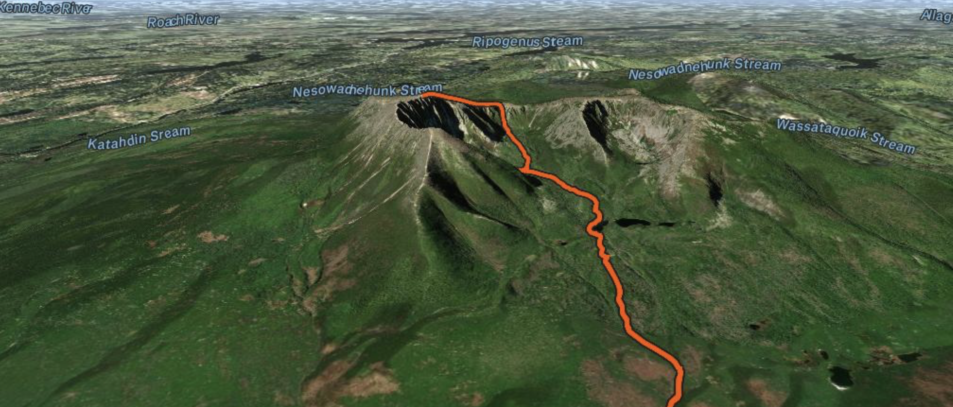
Our route to the top of Katahdin.
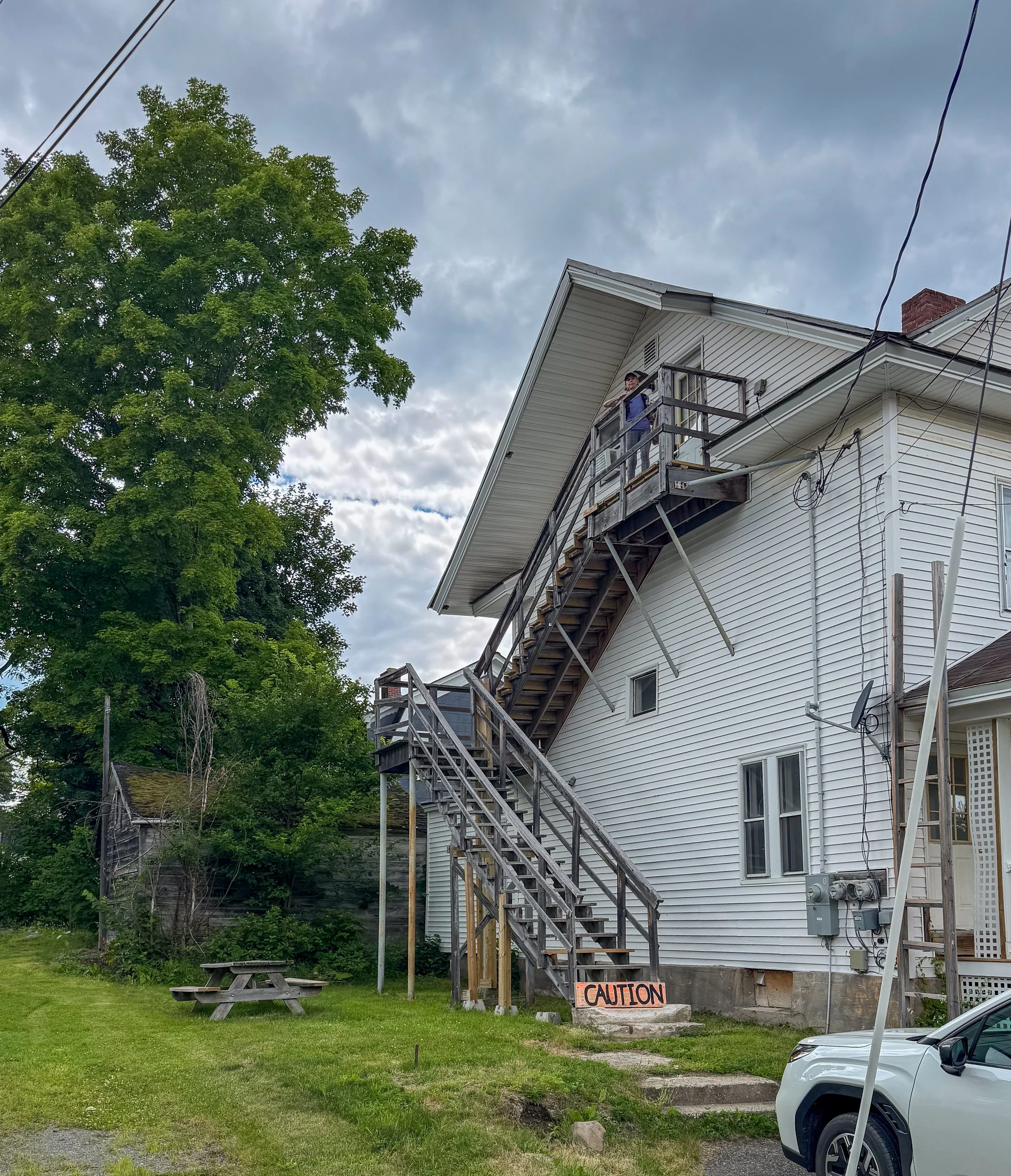
There aren’t a lot of lodging options in Millinocket and we found a cute Airbnb. It was an attic area of a house covered into a 2 bedroom apartment. The stairway to the entrance was a bit of a challenge though.
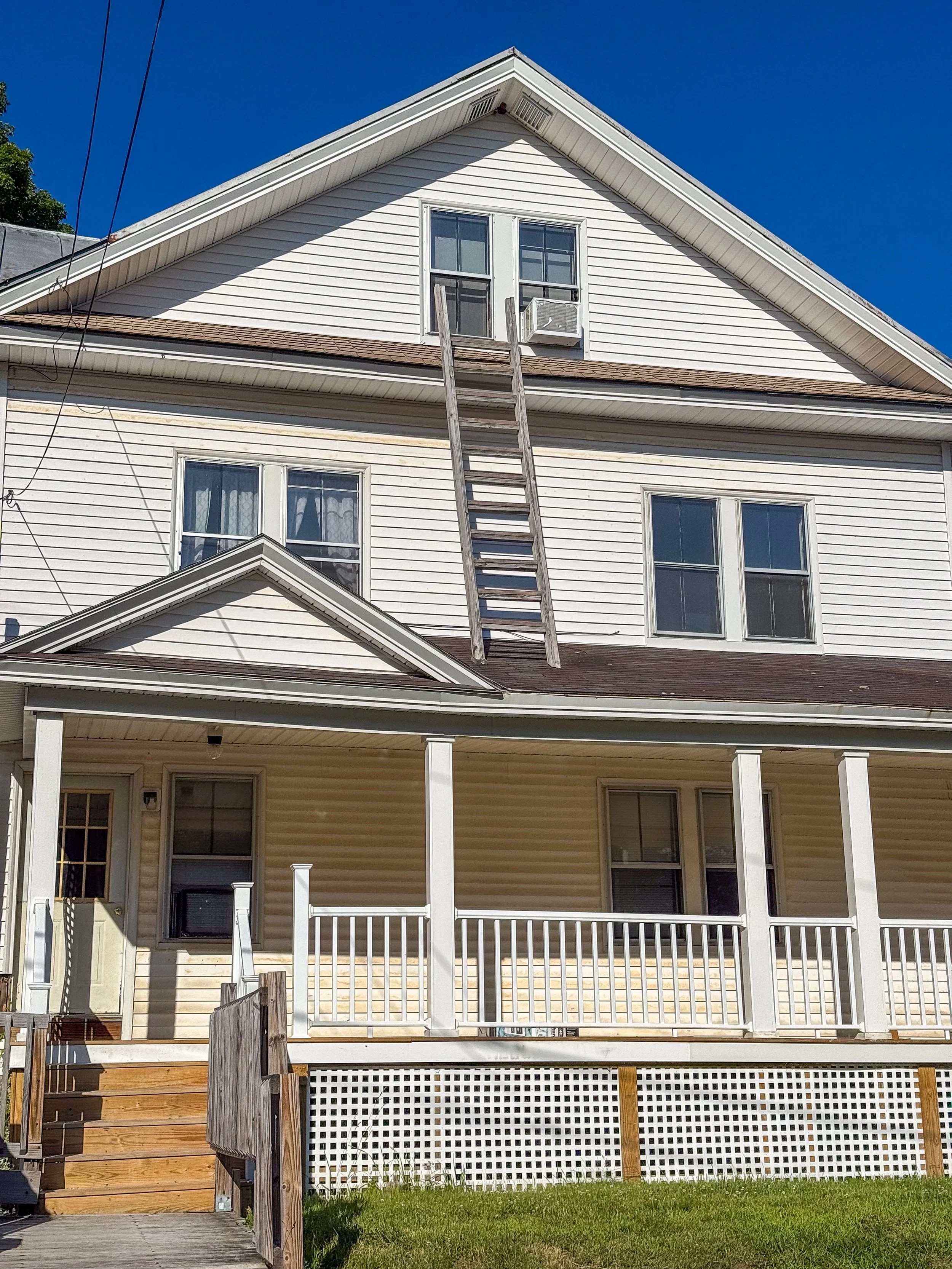
We also had a fire escape…
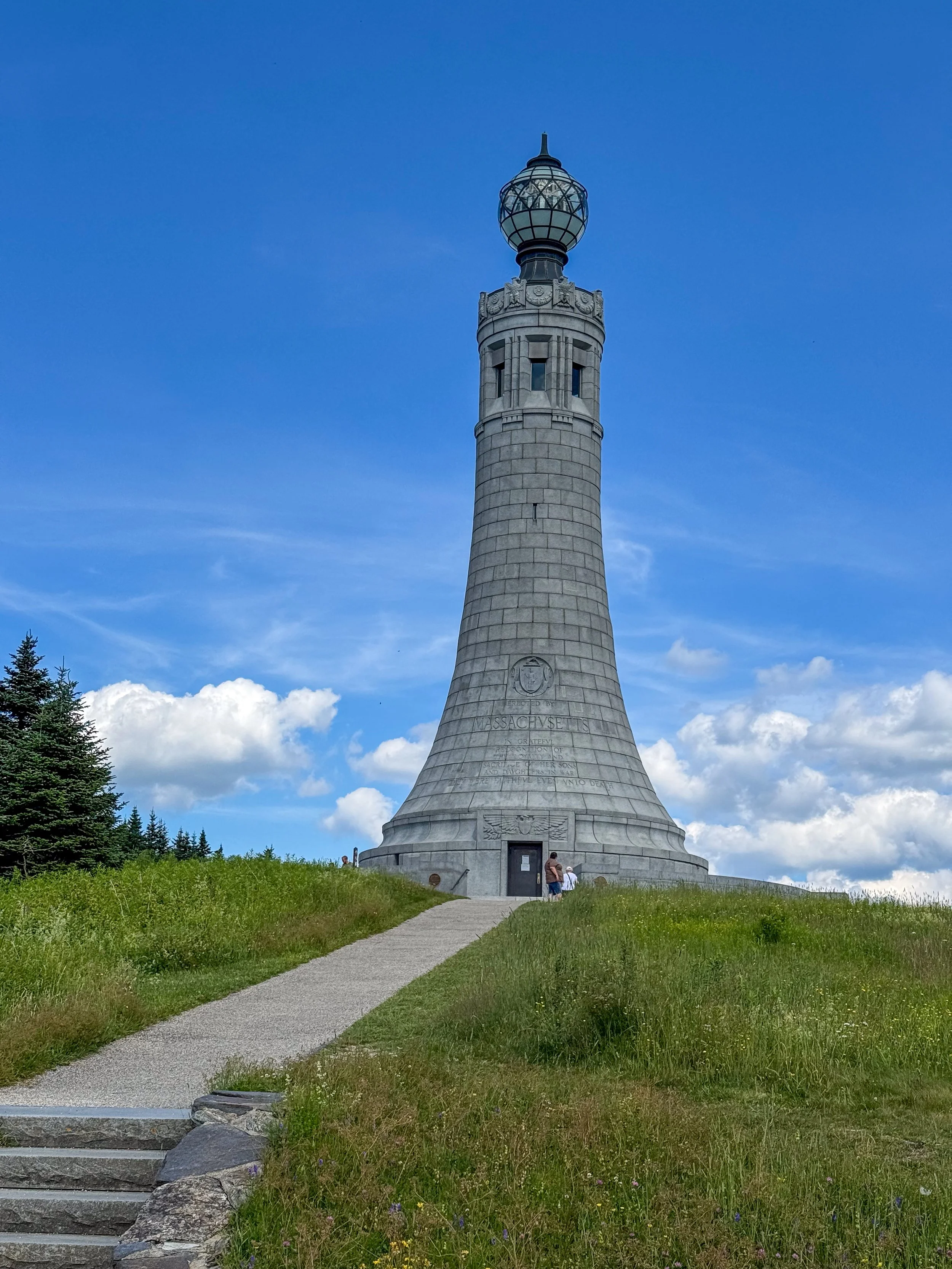
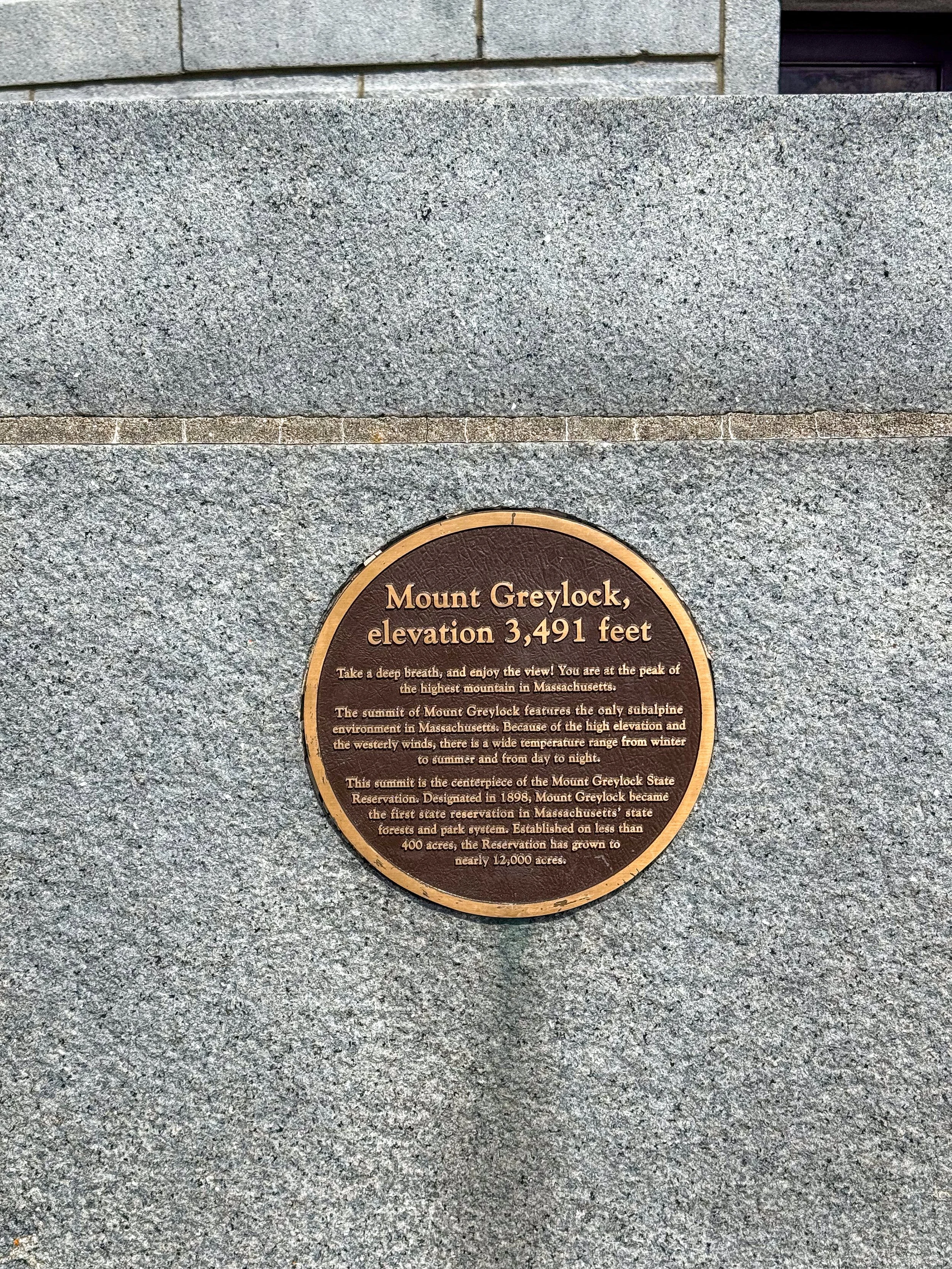
We left Maine and drove to the highpoint in Massachusetts, Mt. Greylock. Mt. Greylock is the highest point in Massachusetts at 3,491 feet. It is located in the northwestern corner of the state, about three hours from Boston, and is the centerpiece of Mount Greylock State Reservation, a 12,500-acre park. Mt. Greylock is on the Appalachian Trail and has a small lodge where you can stay overnight.
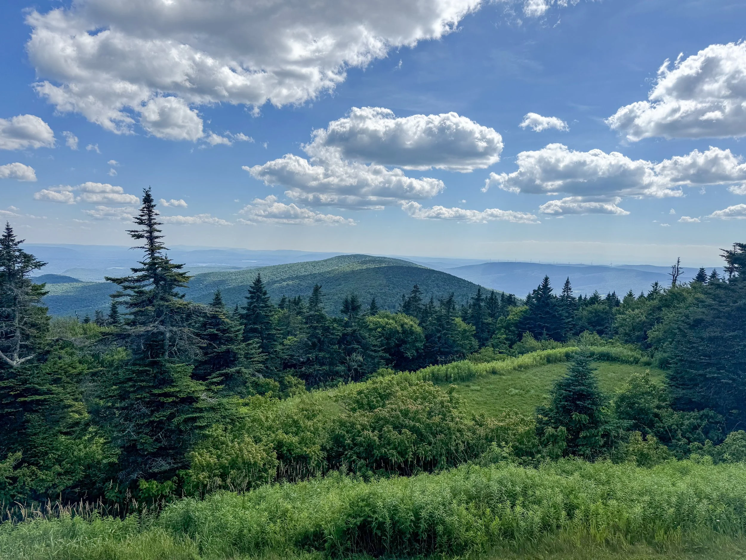
Mount Greylock has inspired generations of writers and artists. Herman Melville, who lived nearby while writing Moby-Dick, could see the mountain from his farmhouse. He reportedly drew inspiration from Greylock's massive, whale-like silhouette when imagining the great white whale.
Poet Henry David Thoreau also climbed the mountain and wrote about its expansive views and natural beauty.
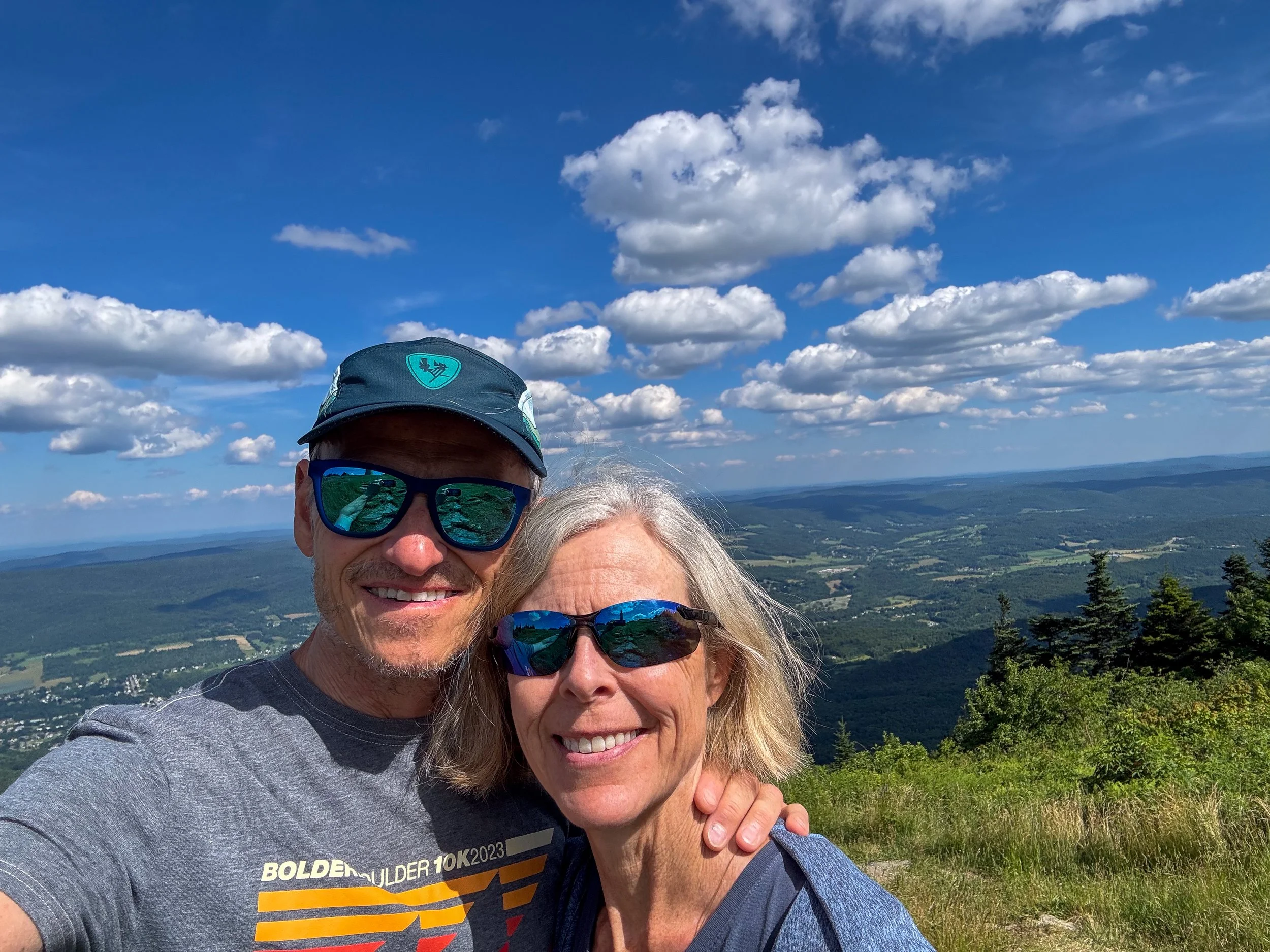
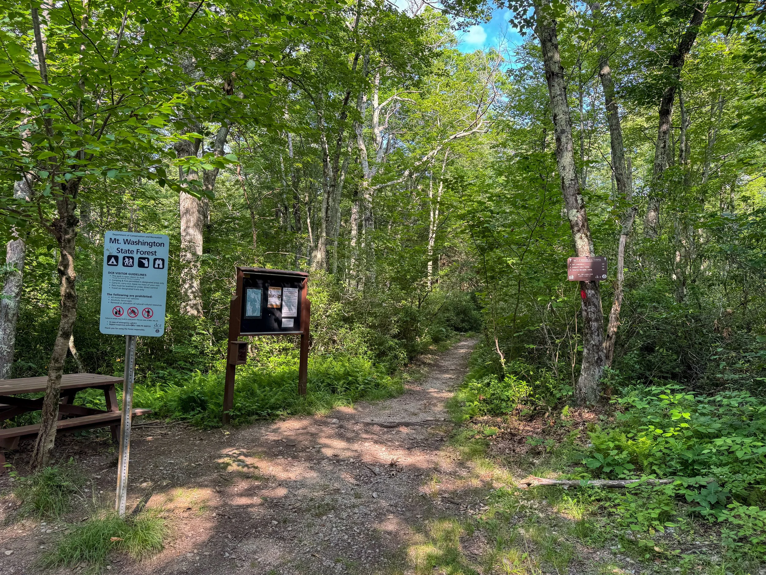
We stayed overnight in Lenox, Massachusetts and continued the next day to Mt. Frissell, the highpoint in Connecticut.
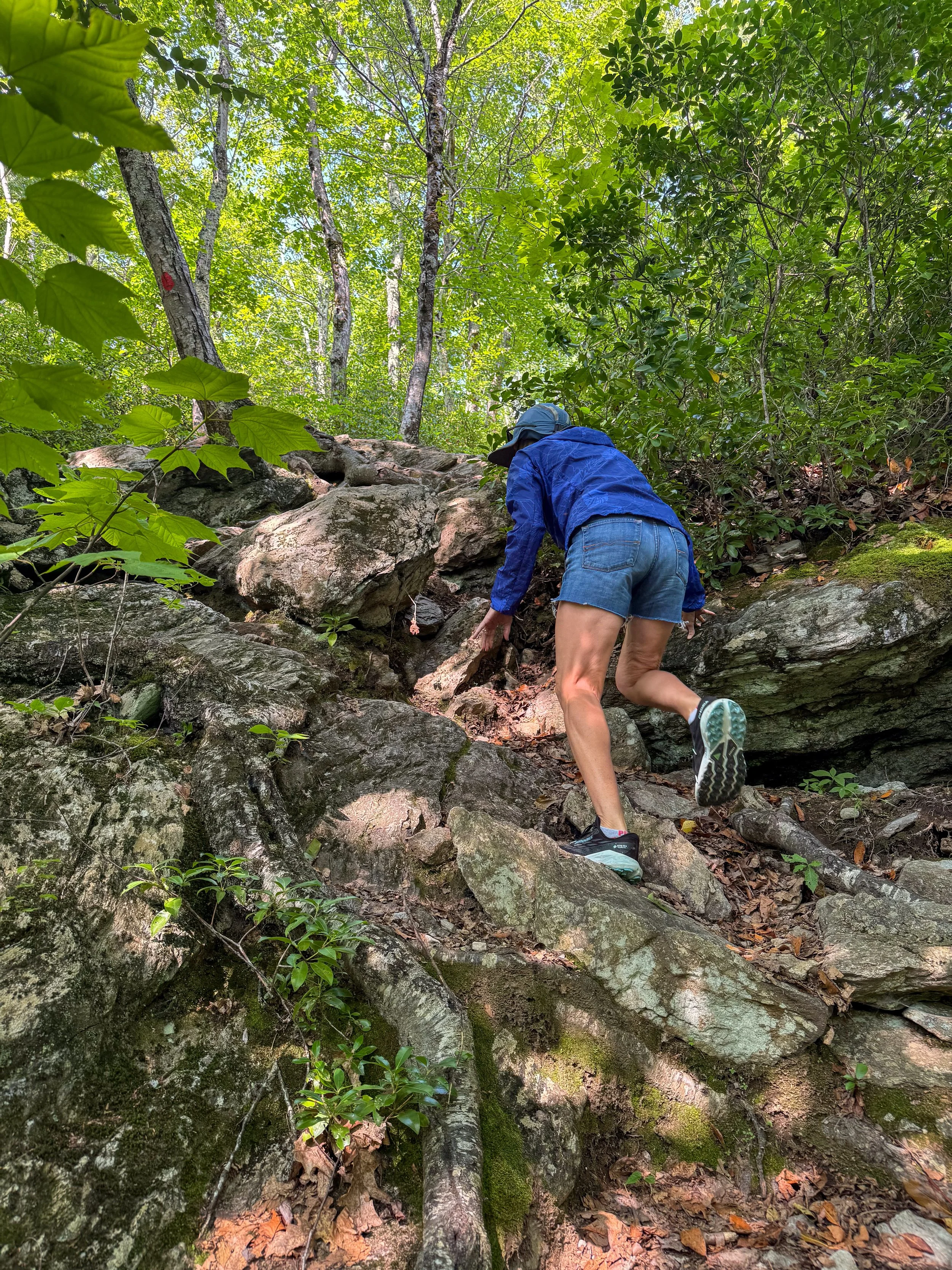
The roundtrip hike to the summit was about 2.5 miles and 1000 feet of climbing.
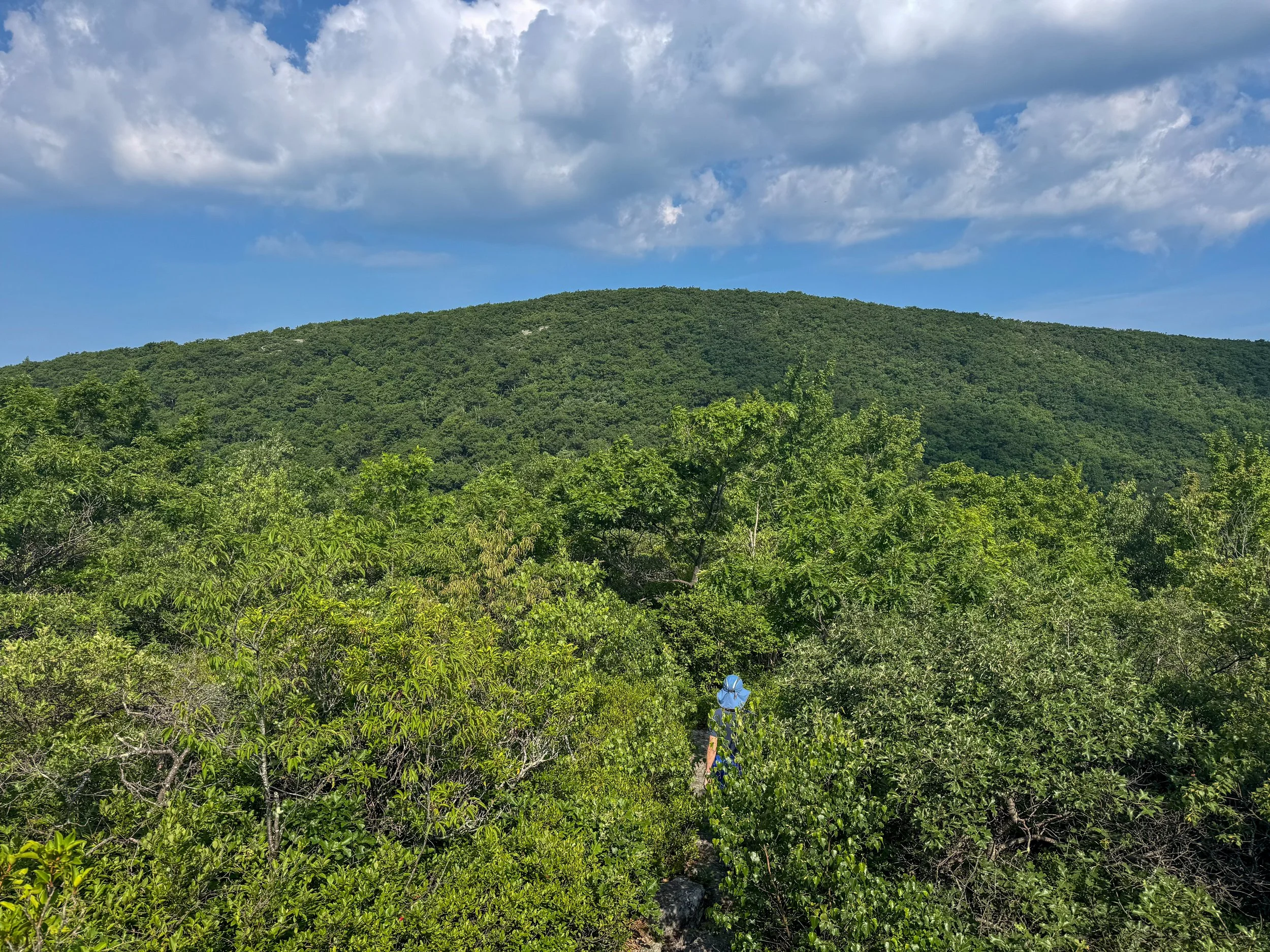
The New England Forrests are very thick!
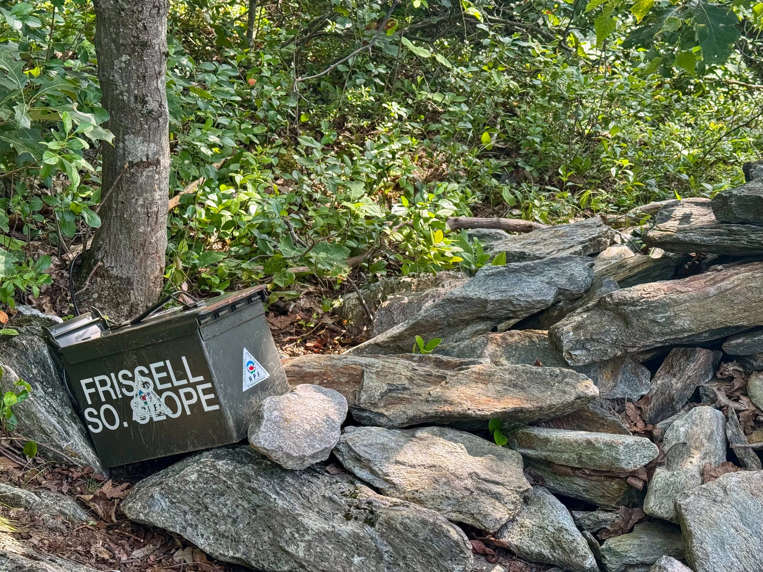
Mount Frissell is a quiet, forested mountain in the Taconic Range on the border of Massachusetts and Connecticut, with its southwestern slope extending into New York. The mountain itself is 2,454 feet tall but the summit is located in Massachusetts. To get to the Connecticut highpoint you need to walk a couple hundred feet down from the summit until you cross the Massachusetts border into Connecticut.
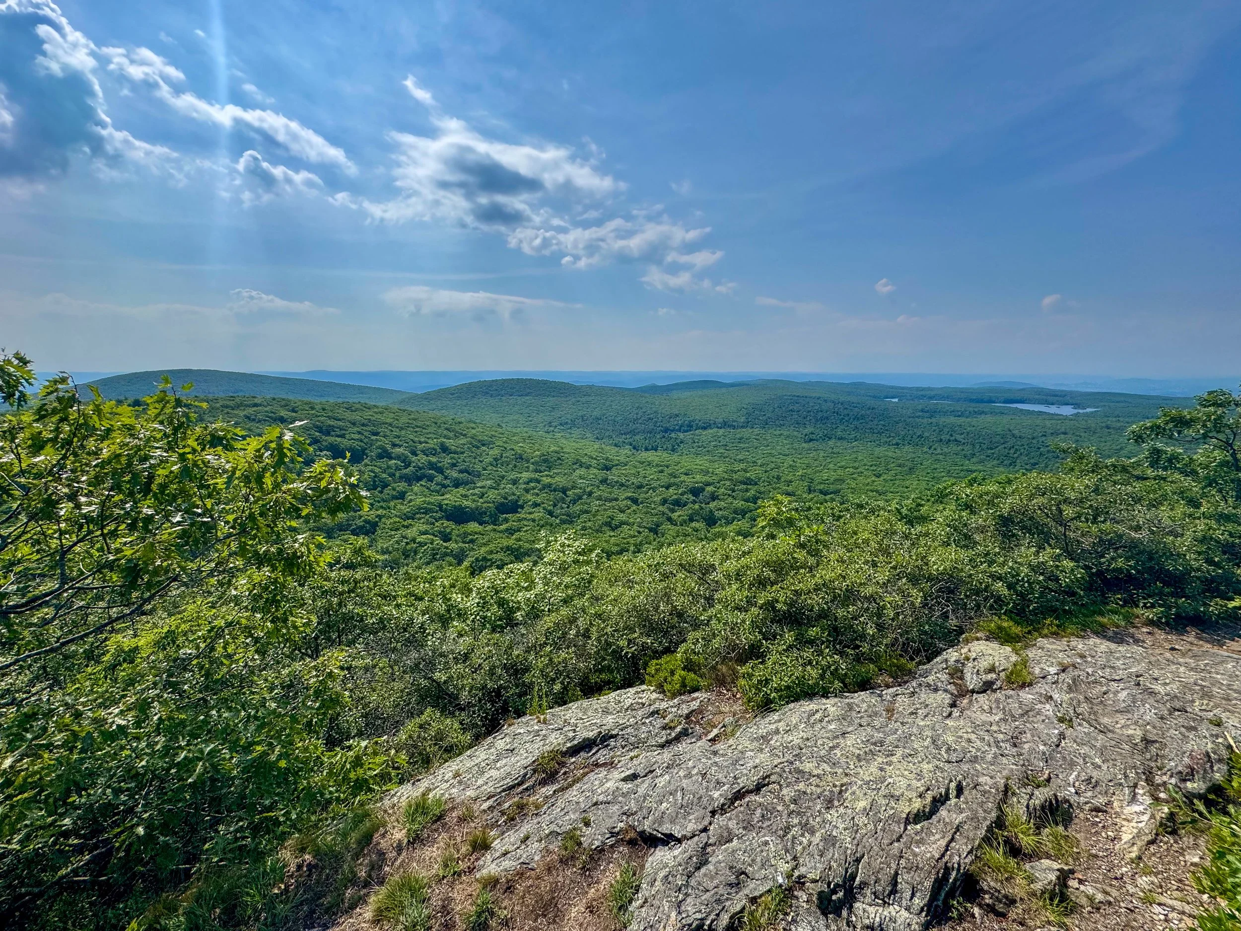
Looking toward New York from the summit of Mt. Frissell.
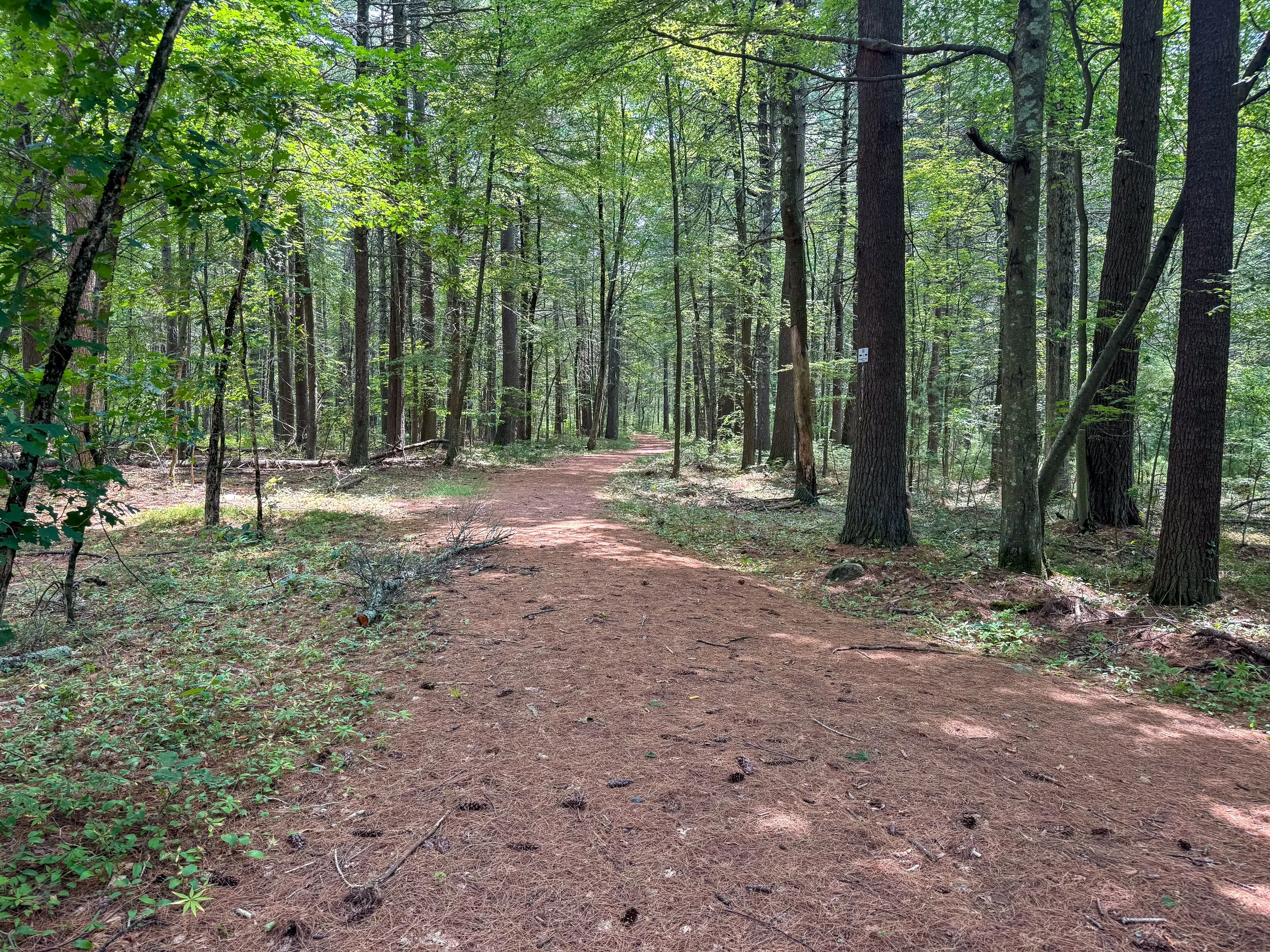
Our last destination was the highpoint in Rhode Island, Jerimoth Hill. This isn’t much of a hill and is a short walk from the road.
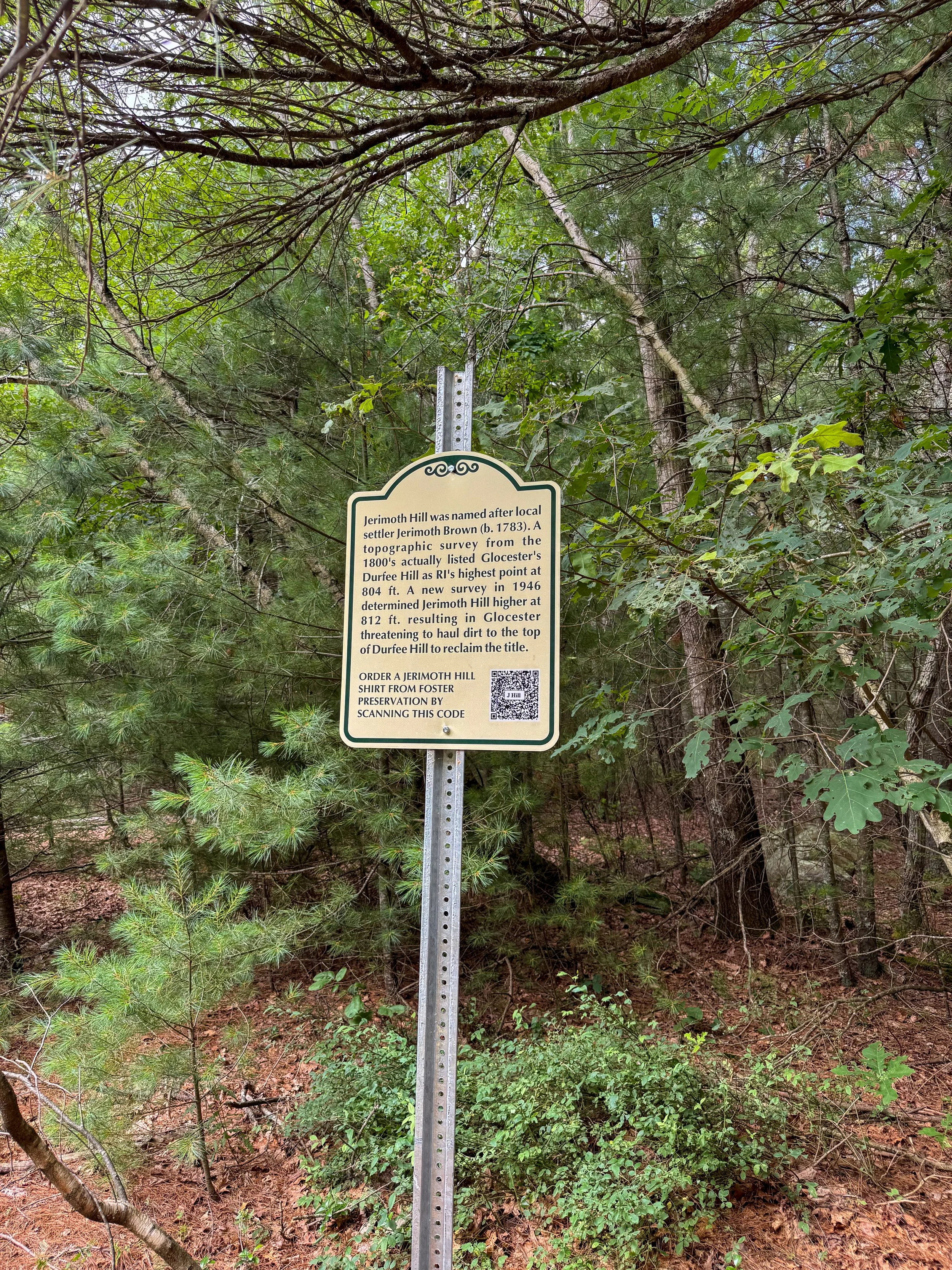
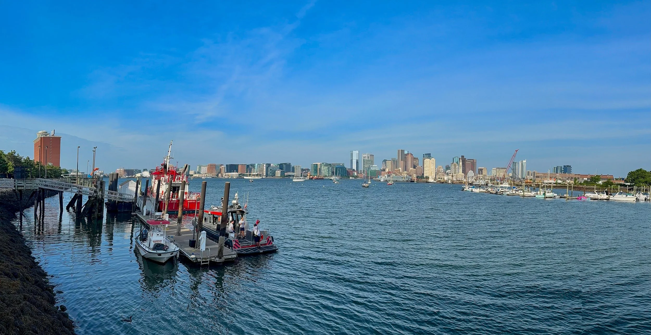
From Rhode Island we drove back to Boston where we spent the night at the airport Hilton.
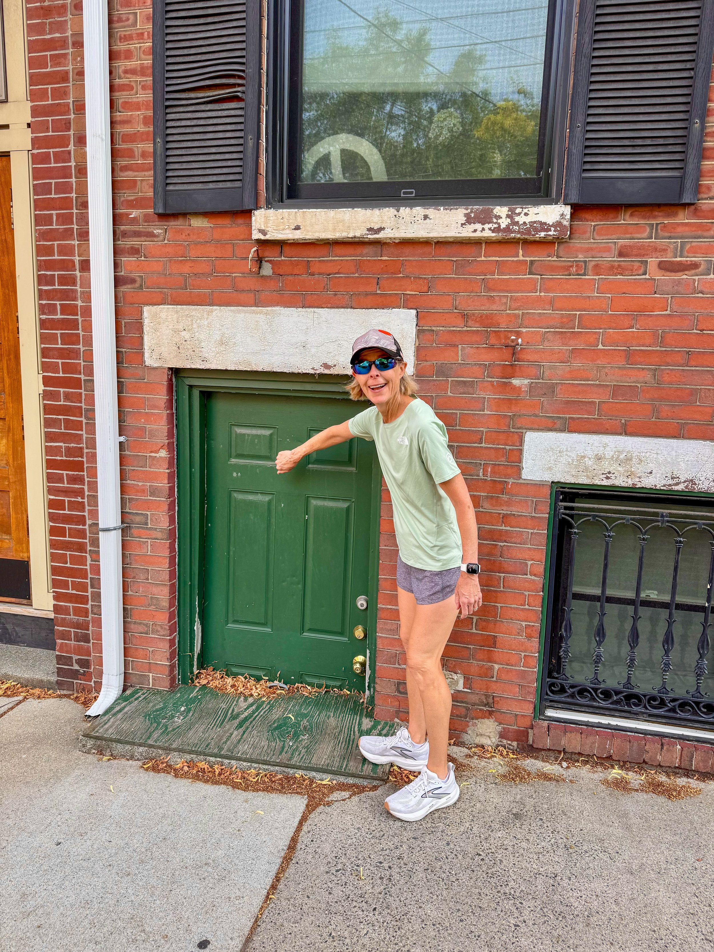
We took a walk along the harbor before our flight and wondered if this door was still functional.